Browne Lake Dam

Browne Lake
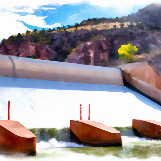
Browne Lake in Daggett County, Utah, is a privately owned dam regulated by the Utah Division of Water Rights. Built in 1957, the earthen dam stands at a height of 31 feet and has a hydraulic height of 23 feet, creating a storage capacity of 939 acre-feet for recreational purposes. The dam is located on Beaver Creek and drains to the Car River, offering a tranquil setting for water resource and climate enthusiasts to enjoy.
With a significant hazard potential, Browne Lake undergoes regular inspections by the state regulatory agency to ensure its safety and integrity. The dam has a normal storage capacity of 675 acre-feet and a drainage area of 14 square miles. While the condition assessment is currently not rated, the dam is inspected every two years to monitor its performance and address any potential risks. Despite its remote location and limited associated structures, Browne Lake provides a valuable recreational resource for visitors to appreciate the beauty of Utah's natural landscapes.
As a key component of the recreational infrastructure in the area, Browne Lake serves as a reservoir for outdoor activities such as fishing, boating, and wildlife viewing. The dam, managed by private owners, is an essential water resource for the community and contributes to the conservation efforts in Daggett County. With its serene surroundings and diverse ecosystem, Browne Lake offers a unique opportunity for water resource and climate enthusiasts to explore and appreciate the interconnected relationship between water management and environmental sustainability in Utah.
Plan around the weather
Same NOAA / yr.no feed Snoflo's iOS app uses. Watch the precipitation column on the meteogram -- rain on the basin upstream typically lifts inflow 24-72 hours later.
Next 5 days, hour by hour
Temperature line with weather symbols on top, snow + rain accumulation as columns, humidity as a dotted line.
5-day forecast table
Every 3 hours, broken out across temperature, snow, rain, humidity, and wind. Each cell is colour-coded relative to the column min/max.
| Time | Condition | Temp (°F) | Snow (in) | Rain (in) | Humidity (%) | Wind (mps) | Wind dir |
|---|---|---|---|---|---|---|---|
| Loading detailed forecast… | |||||||
15-day temperature & precipitation
Daily temperatures, snow, and rain projected over the next two weeks.
Nearby streamflow gauges
USGS streamgauges around Browne Lake -- inflows here typically show up in storage 24-72 hours later.
| Streamgauge | Discharge | View |
|---|---|---|
| Henrys Fork Near Manila | 0 cfs | → |
| Whiterocks River Near Whiterocks | 157 cfs | → |
| Green River Near Greendale | 1,740 cfs | → |
| Ashley Cr Abv Sp Nr Vernal Ut | 4 cfs | → |
| Ashley Creek Near Vernal | 51 cfs | → |
| Uinta River Blw Powerplant Diversion Nr Neola | 126 cfs | → |
Make a day of it
Boat launches, lakeside camping, fishing access, and other reservoirs near Browne Lake.
Boat launches
See all →


Campgrounds
See all →


Fishing spots
See all →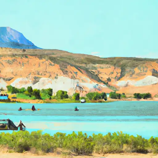


River runs
See all →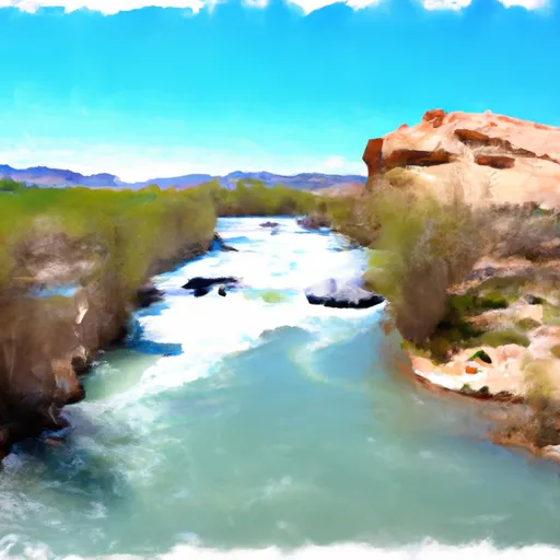


About Browne Lake
Where does the data for Browne Lake come from?
Structural and regulatory data come from the U.S. Army Corps of Engineers' National Inventory of Dams (NID). Weather forecast comes from NOAA / yr.no -- the same feed Snoflo's iOS app uses.
How often is the report updated?
NID structural data refreshes annually as the Corps publishes updated assessments. The weather forecast refreshes throughout the day.
What does the Significant hazard rating mean?
The Corps of Engineers' hazard potential classification grades probable consequences if the dam fails: High = probable loss of human life; Significant = no probable loss of human life but possible economic loss / environmental damage; Low = no probable loss of human life, only minor economic / environmental losses. See the Dam Data Reference card below for the full definitions.
What's "% of normal"?
The current storage value compared to the historical average storage on this calendar day. 100% = right on average; values above 100% mean above-normal storage (wet year); values below mean below-normal (dry year or drought).
Can I get alerts when storage crosses a threshold?
Yes -- alerts are managed in the Snoflo iOS app. Favorite this dam, set a threshold, and you'll get a push the moment conditions cross.
Dam data reference
Condition Assessment
- Satisfactory
- No existing or potential dam safety deficiencies are recognized. Acceptable performance is expected under all loading conditions (static, hydrologic, seismic) in accordance with the minimum applicable state or federal regulatory criteria or tolerable risk guidelines.
- Fair
- No existing dam safety deficiencies are recognized for normal operating conditions. Rare or extreme hydrologic and/or seismic events may result in a dam safety deficiency. Risk may be in the range to take further action.
- Poor
- A dam safety deficiency is recognized for normal operating conditions which may realistically occur. Remedial action is necessary. POOR may also be used when uncertainties exist as to critical analysis parameters which identify a potential dam safety deficiency.
- Unsatisfactory
- A dam safety deficiency is recognized that requires immediate or emergency remedial action for problem resolution.
- Not Rated
- The dam has not been inspected, is not under state or federal jurisdiction, or has been inspected but, for whatever reason, has not been rated.
Hazard Potential Classification
- High
- Dams assigned the high hazard potential classification are those where failure or mis-operation will probably cause loss of human life.
- Significant
- Dams assigned the significant hazard potential classification are those dams where failure or mis-operation results in no probable loss of human life but can cause economic loss, environmental damage, disruption of lifeline facilities, or impact other concerns. Significant hazard potential classification dams are often located in predominantly rural or agricultural areas but could be in areas with population and significant infrastructure.
- Low
- Dams assigned the low hazard potential classification are those where failure or mis-operation results in no probable loss of human life and low economic and/or environmental losses. Losses are principally limited to the owner's property.
- Undetermined
- Dams for which a downstream hazard potential has not been designated or is not provided.