


Lachapelle Enl. Of Ben Res. Reservoir Report
Last Updated: May 3, 2026
°F
°F
mph
Wind
%
Humidity
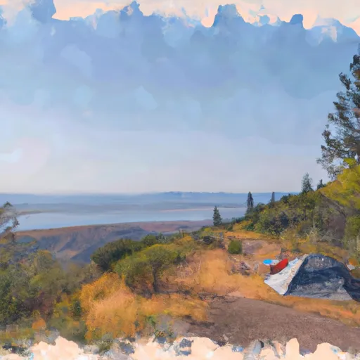
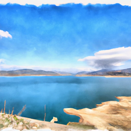
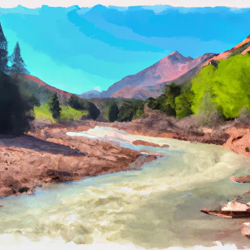
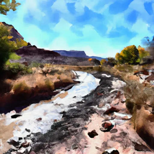
Located in Uinta, Wyoming, the Lachapelle Enlargement of Ben Reservoir is a private irrigation dam designed by M.
Summary
Malner and completed in 1997. This earth dam stands at a height of 34 feet with a hydraulic height of 29 feet and a length of 1020 feet. It serves the primary purpose of irrigation and has a storage capacity of 303 acre-feet, providing water for agricultural use in the region.
The dam is situated on the East Branch of Lachapelle Creek and is regulated by the State of Wyoming with inspection, permitting, and enforcement processes in place. Despite its poor condition assessment in 2018, the hazard potential is considered low with a moderate risk level assigned. The spillway is uncontrolled with a width of 20 feet, and the outlet gates consist of a valve system.
With Liz Cheney (R) representing Congressional District 00, Wyoming, the Lachapelle Enlargement of Ben Reservoir plays a vital role in water resource management in the area. Its strategic location in Evanston and contribution to irrigation make it a crucial infrastructure for sustaining agricultural activities in the region. Despite its condition, the dam continues to serve as a key component of the local water supply system.
Regional Streamflow Levels

15-Day Long Term Forecast
Year Completed |
1997 |
Dam Length |
1020 |
Dam Height |
34 |
River Or Stream |
EAST BRANCH LACHAPELLE CREEK |
Primary Dam Type |
Earth |
Surface Area |
30 |
Hydraulic Height |
29 |
Nid Storage |
303 |
Structural Height |
34 |
Outlet Gates |
Valve - 0 |
Hazard Potential |
Low |
Foundations |
Soil |
Nid Height |
34 |
Seasonal Comparison
5-Day Hourly Forecast Detail
Dam Data Reference
Condition Assessment
SatisfactoryNo existing or potential dam safety deficiencies are recognized. Acceptable performance is expected under all loading conditions (static, hydrologic, seismic) in accordance with the minimum applicable state or federal regulatory criteria or tolerable risk guidelines.
Fair
No existing dam safety deficiencies are recognized for normal operating conditions. Rare or extreme hydrologic and/or seismic events may result in a dam safety deficiency. Risk may be in the range to take further action. Note: Rare or extreme event is defined by the regulatory agency based on their minimum
Poor A dam safety deficiency is recognized for normal operating conditions which may realistically occur. Remedial action is necessary. POOR may also be used when uncertainties exist as to critical analysis parameters which identify a potential dam safety deficiency. Investigations and studies are necessary.
Unsatisfactory
A dam safety deficiency is recognized that requires immediate or emergency remedial action for problem resolution.
Not Rated
The dam has not been inspected, is not under state or federal jurisdiction, or has been inspected but, for whatever reason, has not been rated.
Not Available
Dams for which the condition assessment is restricted to approved government users.
Hazard Potential Classification
HighDams assigned the high hazard potential classification are those where failure or mis-operation will probably cause loss of human life.
Significant
Dams assigned the significant hazard potential classification are those dams where failure or mis-operation results in no probable loss of human life but can cause economic loss, environment damage, disruption of lifeline facilities, or impact other concerns. Significant hazard potential classification dams are often located in predominantly rural or agricultural areas but could be in areas with population and significant infrastructure.
Low
Dams assigned the low hazard potential classification are those where failure or mis-operation results in no probable loss of human life and low economic and/or environmental losses. Losses are principally limited to the owner's property.
Undetermined
Dams for which a downstream hazard potential has not been designated or is not provided.
Not Available
Dams for which the downstream hazard potential is restricted to approved government users.
Area Campgrounds
| Location | Reservations | Toilets |
|---|---|---|
 Meeks Cabin
|
||
 Meeks Cabin Campground
|
||
 Little Lyman Lake
|
||
 Little Lyman Lake Campground
|
||
 East Fork Bear River Campground
|
||
 Bear River
|
 Meeks Cabin Reservoir
 Stateline Reservoir
 Smith & Morehouse Reservoir
 Trial Lake
 Lost Lake
 Washington Lake
 MP 51.5 to Chalk Creek Bridge
 Confluence Of West Fork And East Fork To Meeks Cabin Reservoir
 West Fork of the Blacks Fork
 Wilderness Boundary To Trailhead
 Source To Nf Boundary
 Stillwater Camp - East Fork
 Little Lyman Lake
 Lym Lake
 Hayden Fork River
 Baker Lake
 China Lake