Curtis Pond Reservoir Report
Nearby: Elmslie Ladd's Mill
Last Updated: February 22, 2026
Curtis Pond, located in Calais, Vermont, is a gravity dam structure built in 1900 primarily for recreational purposes.
Summary
The dam stands at a height of 14 feet and has a length of 120 feet, creating a surface area of 76 acres. It has a storage capacity of 1000 acre-feet and is regulated by the Vermont Department of Environmental Conservation (DEC). The dam is situated on Curtis Pond Brook and serves as a popular spot for outdoor activities such as fishing, boating, and wildlife watching.
Despite its picturesque setting, Curtis Pond poses a significant hazard potential with a poor condition assessment as of July 2019. The dam is inspected every three years, with the last inspection taking place in June 2015. The surrounding area has a drainage area of 1.43 square miles, emphasizing the importance of proper maintenance and monitoring to ensure the safety of the structure and the community downstream. While the dam has not been modified in recent years, it is crucial for stakeholders and regulatory agencies to work together to implement risk management measures and emergency action plans to mitigate any potential threats to the dam's integrity and surrounding areas.
With its historic significance and recreational value, Curtis Pond serves as a vital water resource in Washington County, Vermont. As water resource and climate enthusiasts, it is essential to recognize the importance of proper dam maintenance, regular inspections, and emergency preparedness to safeguard the environment and local communities. By staying informed and actively engaged in the conservation efforts surrounding Curtis Pond, enthusiasts can contribute to the sustainable management of this valuable water source for generations to come.
°F
°F
mph
Wind
%
Humidity
15-Day Weather Outlook
Year Completed |
1900 |
Dam Length |
120 |
Dam Height |
14 |
River Or Stream |
CURTIS POND BROOK |
Primary Dam Type |
Gravity |
Surface Area |
76 |
Hydraulic Height |
14 |
Drainage Area |
1.43 |
Nid Storage |
1000 |
Structural Height |
14 |
Hazard Potential |
Significant |
Foundations |
Rock, Soil |
Nid Height |
14 |
Seasonal Comparison
5-Day Hourly Forecast Detail
Nearby Streamflow Levels
Dam Data Reference
Condition Assessment
SatisfactoryNo existing or potential dam safety deficiencies are recognized. Acceptable performance is expected under all loading conditions (static, hydrologic, seismic) in accordance with the minimum applicable state or federal regulatory criteria or tolerable risk guidelines.
Fair
No existing dam safety deficiencies are recognized for normal operating conditions. Rare or extreme hydrologic and/or seismic events may result in a dam safety deficiency. Risk may be in the range to take further action. Note: Rare or extreme event is defined by the regulatory agency based on their minimum
Poor A dam safety deficiency is recognized for normal operating conditions which may realistically occur. Remedial action is necessary. POOR may also be used when uncertainties exist as to critical analysis parameters which identify a potential dam safety deficiency. Investigations and studies are necessary.
Unsatisfactory
A dam safety deficiency is recognized that requires immediate or emergency remedial action for problem resolution.
Not Rated
The dam has not been inspected, is not under state or federal jurisdiction, or has been inspected but, for whatever reason, has not been rated.
Not Available
Dams for which the condition assessment is restricted to approved government users.
Hazard Potential Classification
HighDams assigned the high hazard potential classification are those where failure or mis-operation will probably cause loss of human life.
Significant
Dams assigned the significant hazard potential classification are those dams where failure or mis-operation results in no probable loss of human life but can cause economic loss, environment damage, disruption of lifeline facilities, or impact other concerns. Significant hazard potential classification dams are often located in predominantly rural or agricultural areas but could be in areas with population and significant infrastructure.
Low
Dams assigned the low hazard potential classification are those where failure or mis-operation results in no probable loss of human life and low economic and/or environmental losses. Losses are principally limited to the owner's property.
Undetermined
Dams for which a downstream hazard potential has not been designated or is not provided.
Not Available
Dams for which the downstream hazard potential is restricted to approved government users.
Area Campgrounds
| Location | Reservations | Toilets |
|---|---|---|
 New Discovery State Park
|
||
 Elmore State Park
|
||
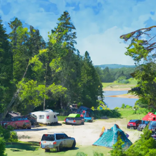 Lake Elmore State Park
|


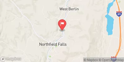
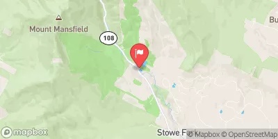
 Curtis Pond
 Wrightsville Detention Reservoir @ Wrightsville Vt
 Justa Road Calais