Adamant Pond Reservoir Report
Nearby: Curtis Pond Kingsbury
Last Updated: February 22, 2026
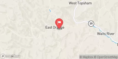
Adamant Pond, also known as Upper Sodom Pond, is a private water resource located in Calais, Vermont.
Summary
Managed by the Vermont Department of Environmental Conservation (DEC), this recreational dam was completed in 1870 and stands at a height of 10 feet, with a storage capacity of 230 acre-feet. The dam, primarily made of concrete, serves as a popular spot for outdoor enthusiasts looking to enjoy the 50-acre surface area for various recreational activities.
Despite its historical significance and recreational value, Adamant Pond poses a significant hazard potential with a poor condition assessment as of June 2017. The dam's inspection frequency is set at every 3 years, with the last inspection conducted in July 2017. With its location on Beaver Meadow Brook and a drainage area of 2.31 square miles, the dam's structural integrity and maintenance are crucial for ensuring the safety and sustainability of the surrounding environment and community.
As water resource and climate enthusiasts, it is important to recognize the importance of monitoring and managing dams like Adamant Pond to mitigate potential risks and ensure responsible stewardship of our natural resources. With ongoing regulatory oversight and enforcement by the state of Vermont, efforts to improve the condition and safety of the dam will be vital in preserving the ecological balance and recreational opportunities that this cherished water resource provides for generations to come.
°F
°F
mph
Wind
%
Humidity
15-Day Weather Outlook
Year Completed |
1870 |
Dam Length |
119 |
Dam Height |
10 |
River Or Stream |
BEAVER MEADOW BROOK |
Primary Dam Type |
Concrete |
Surface Area |
50 |
Hydraulic Height |
10 |
Drainage Area |
2.31 |
Nid Storage |
230 |
Structural Height |
10 |
Hazard Potential |
Significant |
Foundations |
Rock, Soil |
Nid Height |
10 |
Seasonal Comparison
5-Day Hourly Forecast Detail
Nearby Streamflow Levels
Dam Data Reference
Condition Assessment
SatisfactoryNo existing or potential dam safety deficiencies are recognized. Acceptable performance is expected under all loading conditions (static, hydrologic, seismic) in accordance with the minimum applicable state or federal regulatory criteria or tolerable risk guidelines.
Fair
No existing dam safety deficiencies are recognized for normal operating conditions. Rare or extreme hydrologic and/or seismic events may result in a dam safety deficiency. Risk may be in the range to take further action. Note: Rare or extreme event is defined by the regulatory agency based on their minimum
Poor A dam safety deficiency is recognized for normal operating conditions which may realistically occur. Remedial action is necessary. POOR may also be used when uncertainties exist as to critical analysis parameters which identify a potential dam safety deficiency. Investigations and studies are necessary.
Unsatisfactory
A dam safety deficiency is recognized that requires immediate or emergency remedial action for problem resolution.
Not Rated
The dam has not been inspected, is not under state or federal jurisdiction, or has been inspected but, for whatever reason, has not been rated.
Not Available
Dams for which the condition assessment is restricted to approved government users.
Hazard Potential Classification
HighDams assigned the high hazard potential classification are those where failure or mis-operation will probably cause loss of human life.
Significant
Dams assigned the significant hazard potential classification are those dams where failure or mis-operation results in no probable loss of human life but can cause economic loss, environment damage, disruption of lifeline facilities, or impact other concerns. Significant hazard potential classification dams are often located in predominantly rural or agricultural areas but could be in areas with population and significant infrastructure.
Low
Dams assigned the low hazard potential classification are those where failure or mis-operation results in no probable loss of human life and low economic and/or environmental losses. Losses are principally limited to the owner's property.
Undetermined
Dams for which a downstream hazard potential has not been designated or is not provided.
Not Available
Dams for which the downstream hazard potential is restricted to approved government users.
Area Campgrounds
| Location | Reservations | Toilets |
|---|---|---|
 New Discovery State Park
|
||
 Stillwater State Park
|
||
 Big Deer State Park
|

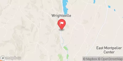

 Adamant Pond
 Wrightsville Detention Reservoir @ Wrightsville Vt
 Justa Road Calais