


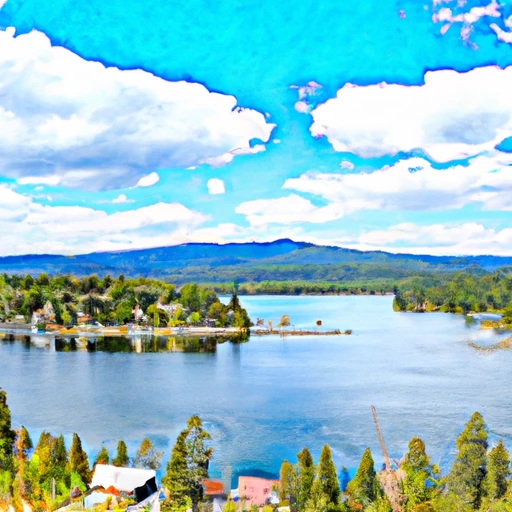
Coeur D Alene Lake At Coeur D Alene Id Reservoir Report
Last Updated: May 3, 2026
°F
°F
mph
Wind
%
Humidity
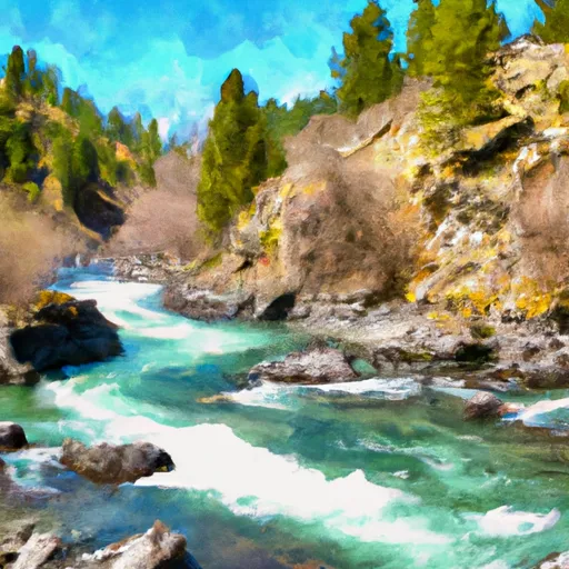
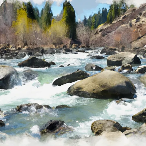
Coeur d'Alene Lake, located in Idaho, has a rich history dating back to the Coeur d'Alene tribe, who named the lake "Schitsu'umsh" meaning "place of the sharp-spirited people." The lake is fed by the Coeur d'Alene River and is a major hydrology source for the region.
Summary
The surface flow of the lake is regulated by the Post Falls Dam. The lake's snowpack is a crucial source of water for the surrounding areas, including agricultural and recreational use. The lake is known for its clean water, making it a popular destination for boating, fishing, and swimming. The Coeur d'Alene Resort Golf Course, located on the lake's shore, is also a popular attraction. Today, the lake remains an essential source of water and a beloved recreational destination for locals and tourists alike.
Regional Streamflow Levels
15-Day Long Term Forecast
Reservoir Details
| Gage Height, Ft 24hr Change | 0.07% |
| Percent of Normal | 100% |
| Minimum |
20.99 ft
2025-02-16 |
| Maximum |
34.82 ft
2017-03-22 |
| Average | 28 ft |
Seasonal Comparison
Gage Height, Ft Levels
5-Day Hourly Forecast Detail
Dam Data Reference
Condition Assessment
SatisfactoryNo existing or potential dam safety deficiencies are recognized. Acceptable performance is expected under all loading conditions (static, hydrologic, seismic) in accordance with the minimum applicable state or federal regulatory criteria or tolerable risk guidelines.
Fair
No existing dam safety deficiencies are recognized for normal operating conditions. Rare or extreme hydrologic and/or seismic events may result in a dam safety deficiency. Risk may be in the range to take further action. Note: Rare or extreme event is defined by the regulatory agency based on their minimum
Poor A dam safety deficiency is recognized for normal operating conditions which may realistically occur. Remedial action is necessary. POOR may also be used when uncertainties exist as to critical analysis parameters which identify a potential dam safety deficiency. Investigations and studies are necessary.
Unsatisfactory
A dam safety deficiency is recognized that requires immediate or emergency remedial action for problem resolution.
Not Rated
The dam has not been inspected, is not under state or federal jurisdiction, or has been inspected but, for whatever reason, has not been rated.
Not Available
Dams for which the condition assessment is restricted to approved government users.
Hazard Potential Classification
HighDams assigned the high hazard potential classification are those where failure or mis-operation will probably cause loss of human life.
Significant
Dams assigned the significant hazard potential classification are those dams where failure or mis-operation results in no probable loss of human life but can cause economic loss, environment damage, disruption of lifeline facilities, or impact other concerns. Significant hazard potential classification dams are often located in predominantly rural or agricultural areas but could be in areas with population and significant infrastructure.
Low
Dams assigned the low hazard potential classification are those where failure or mis-operation results in no probable loss of human life and low economic and/or environmental losses. Losses are principally limited to the owner's property.
Undetermined
Dams for which a downstream hazard potential has not been designated or is not provided.
Not Available
Dams for which the downstream hazard potential is restricted to approved government users.
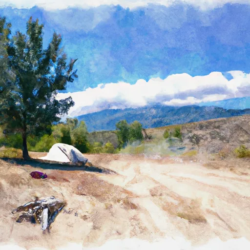
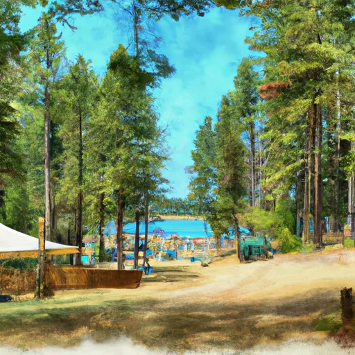
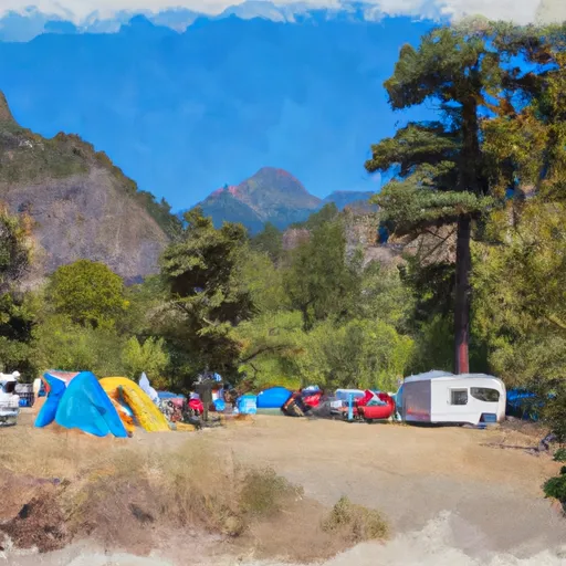
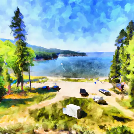
Area Campgrounds
| Location | Reservations | Toilets |
|---|---|---|
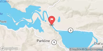
 Mica Bay Boater Park
|
||
 Beauty Creek Campground
|
||
 Beauty Creek
|
||
 Camp Coeur d’Alene
|
||
 Mokins Bay Campground
|
||
 Mokins Bay
|
 Coeur D Alene Lake At Coeur D Alene Id
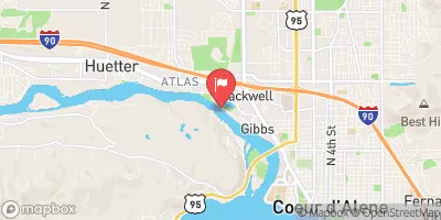
 Blackwell Island Recreation Site
 East Fernan Boat Ramp
 Mineral Ridge Scenic Area and Trail
 Blue Creek Bay Recreation Site
 Mineral Ridge Boat Launch
River Runs
-
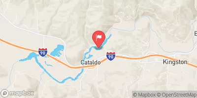
 Cataldo Mission To Coeur D'Alene Lake
-
 Coeur D"Alene River, Sec. 8, T49N, R2E To Honey Mountain, Sec. 32, T53N, R1W
-
 Confluence North Fork Coeur D'Alene River To Cataldo Mission
-
 Boundary Proposed Addition Cabinet Mtns Wilderness, Sec. To Cabinet Gorge Reservoir
-
 Little North Fork Clearwater River
-
 Lost Lake Creek