Kessler Dam dam

Kessler Dam
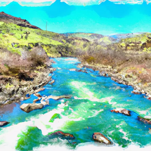
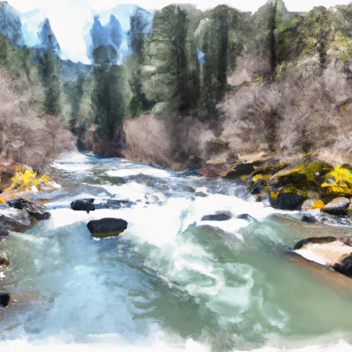
Kessler Dam, located in Garfield, Washington, is a privately owned earth dam completed in 1967 primarily for irrigation purposes along Tr-Bear Creek. With a hydraulic height of 15 feet and a structural height of 15 feet, the dam has a storage capacity of 50 acre-feet, with a normal storage level of 30 acre-feet. The dam spans 100 feet in length and covers a surface area of 30 acres, serving as a vital water resource for the surrounding area.
Maintained and regulated by the Washington Department of Ecology, Kessler Dam has a low hazard potential and is currently rated as "Not Rated" in terms of condition assessment. Although the dam has not been inspected recently, it is equipped with emergency action plans to mitigate potential risks. The dam's spillway type, outlet gates, and associated structures are not specified in the data, but it is clear that the dam plays a crucial role in water management and agricultural irrigation in the region.
As a key infrastructure in the water resource system of Garfield, Washington, Kessler Dam stands as a testament to private ownership and responsible water management practices. With its construction dating back to the 1960s, the dam continues to support the local community by providing water for irrigation while adhering to state regulations and inspection protocols. As climate change impacts water resources, the importance of structures like Kessler Dam in ensuring water availability and sustainability cannot be understated.
Plan around the weather
Same NOAA / yr.no feed Snoflo's iOS app uses. Watch the precipitation column on the meteogram -- rain on the basin upstream typically lifts inflow 24-72 hours later.
Next 5 days, hour by hour
Temperature line with weather symbols on top, snow + rain accumulation as columns, humidity as a dotted line.
5-day forecast table
Every 3 hours, broken out across temperature, snow, rain, humidity, and wind. Each cell is colour-coded relative to the column min/max.
| Time | Condition | Temp (°F) | Snow (in) | Rain (in) | Humidity (%) | Wind (mps) | Wind dir |
|---|---|---|---|---|---|---|---|
| Loading detailed forecast… | |||||||
15-day temperature & precipitation
Daily temperatures, snow, and rain projected over the next two weeks.
Nearby streamflow gauges
USGS streamgauges around Kessler Dam -- inflows here typically show up in storage 24-72 hours later.
| Streamgauge | Discharge | View |
|---|---|---|
| Grande Ronde River At Troy | 553 cfs | → |
| Asotin Creek Below Confluence Near Asotin | 54 cfs | → |
| Snake River Near Anatone | 17,500 cfs | → |
| Mill Creek Near Walla Walla | 31 cfs | → |
| Minam River Near Minam | 166 cfs | → |
| Snake River Bl Mcduff Rapids At China Gardens | 18,300 cfs | → |


About Kessler Dam
Where does the data for Kessler Dam come from?
Structural and regulatory data come from the U.S. Army Corps of Engineers' National Inventory of Dams (NID). Weather forecast comes from NOAA / yr.no -- the same feed Snoflo's iOS app uses.
How often is the report updated?
NID structural data refreshes annually as the Corps publishes updated assessments. The weather forecast refreshes throughout the day.
What does the Low hazard rating mean?
The Corps of Engineers' hazard potential classification grades probable consequences if the dam fails: High = probable loss of human life; Significant = no probable loss of human life but possible economic loss / environmental damage; Low = no probable loss of human life, only minor economic / environmental losses. See the Dam Data Reference card below for the full definitions.
What's "% of normal"?
The current storage value compared to the historical average storage on this calendar day. 100% = right on average; values above 100% mean above-normal storage (wet year); values below mean below-normal (dry year or drought).
Can I get alerts when storage crosses a threshold?
Yes -- alerts are managed in the Snoflo iOS app. Favorite this dam, set a threshold, and you'll get a push the moment conditions cross.
Dam data reference
Condition Assessment
- Satisfactory
- No existing or potential dam safety deficiencies are recognized. Acceptable performance is expected under all loading conditions (static, hydrologic, seismic) in accordance with the minimum applicable state or federal regulatory criteria or tolerable risk guidelines.
- Fair
- No existing dam safety deficiencies are recognized for normal operating conditions. Rare or extreme hydrologic and/or seismic events may result in a dam safety deficiency. Risk may be in the range to take further action.
- Poor
- A dam safety deficiency is recognized for normal operating conditions which may realistically occur. Remedial action is necessary. POOR may also be used when uncertainties exist as to critical analysis parameters which identify a potential dam safety deficiency.
- Unsatisfactory
- A dam safety deficiency is recognized that requires immediate or emergency remedial action for problem resolution.
- Not Rated
- The dam has not been inspected, is not under state or federal jurisdiction, or has been inspected but, for whatever reason, has not been rated.
Hazard Potential Classification
- High
- Dams assigned the high hazard potential classification are those where failure or mis-operation will probably cause loss of human life.
- Significant
- Dams assigned the significant hazard potential classification are those dams where failure or mis-operation results in no probable loss of human life but can cause economic loss, environmental damage, disruption of lifeline facilities, or impact other concerns. Significant hazard potential classification dams are often located in predominantly rural or agricultural areas but could be in areas with population and significant infrastructure.
- Low
- Dams assigned the low hazard potential classification are those where failure or mis-operation results in no probable loss of human life and low economic and/or environmental losses. Losses are principally limited to the owner's property.
- Undetermined
- Dams for which a downstream hazard potential has not been designated or is not provided.