


Lake Gogebic Near Bergland Reservoir Report
Last Updated: May 1, 2026
°F
°F
mph
Wind
%
Humidity
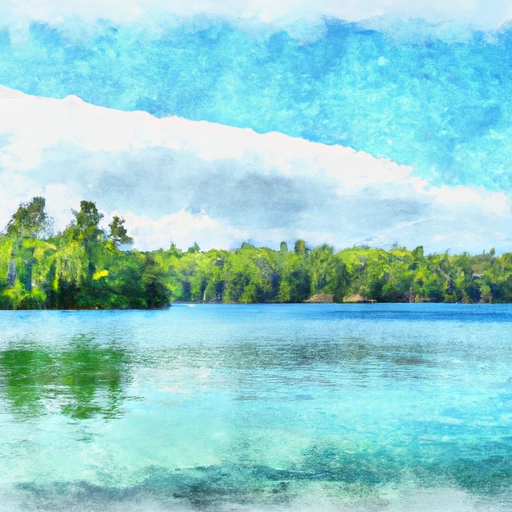
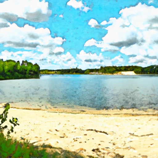
Lake Gogebic is a 13,380-acre lake located near Bergland in Michigan.
Summary
The lake's history dates back to the pre-settlement era, where it was known as "Mooz" by the Chippewa Indians. The lake's hydrology is mainly fed by two rivers, the Ontonagon and Baltimore Rivers, which provide a significant surface flow into the lake. The lake also receives snowpack providers from the surrounding areas, which contribute to its water levels. The lake has been used for agricultural and recreational purposes, such as fishing, boating, and swimming. The lake is home to various fish species, including walleye, northern pike, and smallmouth bass. Overall, Lake Gogebic is a crucial resource for the Bergland community and the state of Michigan.
Regional Streamflow Levels

15-Day Long Term Forecast
Reservoir Details
| Gage Height, Ft 24hr Change | -2.19% |
| Percent of Normal | 107% |
| Minimum |
0.99 ft
2015-03-13 |
| Maximum |
4.96 ft
2019-04-25 |
| Average | 3 ft |
| Dam_Height | 8 |
| Hydraulic_Height | 8 |
| Drainage_Area | 17 |
| Year_Completed | 1906 |
| Nid_Storage | 276000 |
| Hazard_Potential | Low |
| Structural_Height | 8 |
| River_Or_Stream | West Branch Ontonagon River |
| Surface_Area | 14080 |
| Dam_Length | 179 |
| Primary_Dam_Type | Other |
| Nid_Height | 8 |
Seasonal Comparison
Temperature, Water, °C Levels
Gage Height, Ft Levels
5-Day Hourly Forecast Detail
Dam Data Reference
Condition Assessment
SatisfactoryNo existing or potential dam safety deficiencies are recognized. Acceptable performance is expected under all loading conditions (static, hydrologic, seismic) in accordance with the minimum applicable state or federal regulatory criteria or tolerable risk guidelines.
Fair
No existing dam safety deficiencies are recognized for normal operating conditions. Rare or extreme hydrologic and/or seismic events may result in a dam safety deficiency. Risk may be in the range to take further action. Note: Rare or extreme event is defined by the regulatory agency based on their minimum
Poor A dam safety deficiency is recognized for normal operating conditions which may realistically occur. Remedial action is necessary. POOR may also be used when uncertainties exist as to critical analysis parameters which identify a potential dam safety deficiency. Investigations and studies are necessary.
Unsatisfactory
A dam safety deficiency is recognized that requires immediate or emergency remedial action for problem resolution.
Not Rated
The dam has not been inspected, is not under state or federal jurisdiction, or has been inspected but, for whatever reason, has not been rated.
Not Available
Dams for which the condition assessment is restricted to approved government users.
Hazard Potential Classification
HighDams assigned the high hazard potential classification are those where failure or mis-operation will probably cause loss of human life.
Significant
Dams assigned the significant hazard potential classification are those dams where failure or mis-operation results in no probable loss of human life but can cause economic loss, environment damage, disruption of lifeline facilities, or impact other concerns. Significant hazard potential classification dams are often located in predominantly rural or agricultural areas but could be in areas with population and significant infrastructure.
Low
Dams assigned the low hazard potential classification are those where failure or mis-operation results in no probable loss of human life and low economic and/or environmental losses. Losses are principally limited to the owner's property.
Undetermined
Dams for which a downstream hazard potential has not been designated or is not provided.
Not Available
Dams for which the downstream hazard potential is restricted to approved government users.
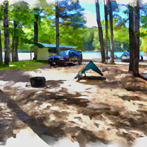
Area Campgrounds
 Bergland Town Park
 Ontonagon County Park
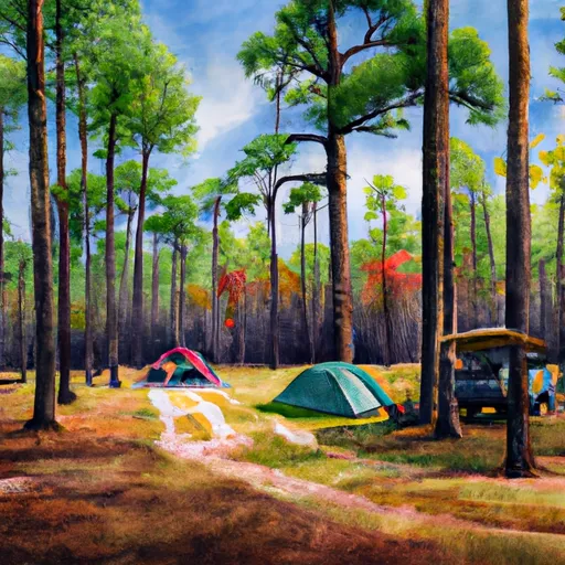
 Lake Gogebic State Park
 Lake Gogebic County Park
 Lost Creek Outpost Campground
 White Pine Extension Outpost
 Lake Gogebic Near Bergland
 Cisco Lake Near Watersmeet
 Lac Vieux Desert Near Land O'Lakes
 Railroad Street Bergland
River Runs
-
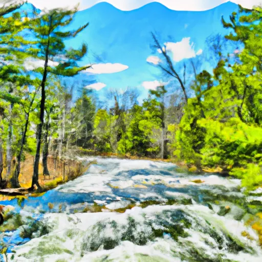 West Branch, Mi State Highway 28 To Cascade Falls
-
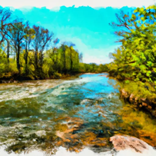 South Branch,Confluence Of Cisco Branch And Tenmile Creek To Confluence With West Branch
-
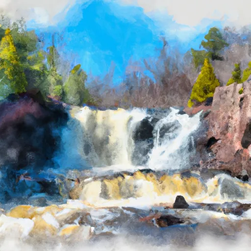 Minnewawa Falls To Lake Superior
-
 From Wagner Lake In Sec 13, T49N, R31W To Eastern Boundary Of The Ottawa Nf In Sec 12, T48N, R35@
-
 Net River Mainstem, Confluence With East/West Branches To Confluence With The Mainstem Paint River
-
 West Branch Net River, From Its Source In Sec 35, T48N, R34W To Confluence With Mainstem Net River In Sec 24, T46N, R34W
 Lake of the Clouds
 Rockland Pond
 Sunday Lake
 Heron Lake
 Henry Lake