


Carollo Dam Reservoir Report
Last Updated: May 3, 2026
°F
°F
mph
Wind
%
Humidity
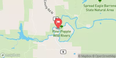
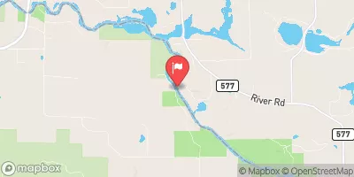
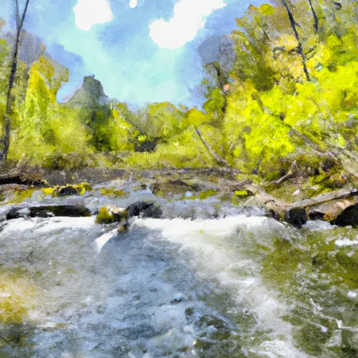
Carollo Dam, located in Loretto, Michigan, is a private-owned structure on Harding Creek primarily built for recreational purposes.
Summary
The dam stands at 8 feet high with a storage capacity of 50 acre-feet and a surface area of 10 acres. Despite its low hazard potential, the dam is subject to regular state inspection, regulation, and enforcement by the Michigan Department of Environment, Great Lakes, and Energy (DEGLE).
The condition assessment of Carollo Dam conducted in November 2020 deemed it satisfactory, with a low risk of failure. Although the dam does not have a spillway or locks, it is equipped with outlet gates and is monitored for emergency preparedness. With a risk assessment rating of "High (2)," the dam has measures in place to manage potential risks and ensure public safety. The dam's location in Dickinson County, Michigan, makes it a valuable asset for water resource and climate enthusiasts to explore and appreciate.
Overall, Carollo Dam serves as a vital structure for recreational activities while also playing a crucial role in water resource management in the region. Its maintenance and regular inspections demonstrate a commitment to safety and environmental protection, making it an important feature for both the local community and visitors interested in water infrastructure and climate resilience.
Regional Streamflow Levels
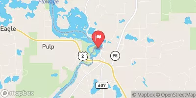 Menominee River At Twin Falls Near Iron Mt
|
3420cfs |
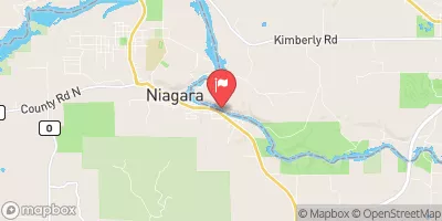 Menominee River At Niagara
|
5210cfs |
 Menominee River Near Florence
|
3970cfs |
 Brule River Near Commonwealth
|
1040cfs |
 Pine River Below Pine R Powerplant Nr Florence
|
848cfs |
 Menominee River Near Vulcan
|
6150cfs |
15-Day Long Term Forecast
Dam Height |
8 |
River Or Stream |
Harding Creek |
Primary Dam Type |
Earth |
Surface Area |
10 |
Hydraulic Height |
8 |
Nid Storage |
50 |
Structural Height |
8 |
Hazard Potential |
Low |
Nid Height |
8 |
Seasonal Comparison
5-Day Hourly Forecast Detail
Dam Data Reference
Condition Assessment
SatisfactoryNo existing or potential dam safety deficiencies are recognized. Acceptable performance is expected under all loading conditions (static, hydrologic, seismic) in accordance with the minimum applicable state or federal regulatory criteria or tolerable risk guidelines.
Fair
No existing dam safety deficiencies are recognized for normal operating conditions. Rare or extreme hydrologic and/or seismic events may result in a dam safety deficiency. Risk may be in the range to take further action. Note: Rare or extreme event is defined by the regulatory agency based on their minimum
Poor A dam safety deficiency is recognized for normal operating conditions which may realistically occur. Remedial action is necessary. POOR may also be used when uncertainties exist as to critical analysis parameters which identify a potential dam safety deficiency. Investigations and studies are necessary.
Unsatisfactory
A dam safety deficiency is recognized that requires immediate or emergency remedial action for problem resolution.
Not Rated
The dam has not been inspected, is not under state or federal jurisdiction, or has been inspected but, for whatever reason, has not been rated.
Not Available
Dams for which the condition assessment is restricted to approved government users.
Hazard Potential Classification
HighDams assigned the high hazard potential classification are those where failure or mis-operation will probably cause loss of human life.
Significant
Dams assigned the significant hazard potential classification are those dams where failure or mis-operation results in no probable loss of human life but can cause economic loss, environment damage, disruption of lifeline facilities, or impact other concerns. Significant hazard potential classification dams are often located in predominantly rural or agricultural areas but could be in areas with population and significant infrastructure.
Low
Dams assigned the low hazard potential classification are those where failure or mis-operation results in no probable loss of human life and low economic and/or environmental losses. Losses are principally limited to the owner's property.
Undetermined
Dams for which a downstream hazard potential has not been designated or is not provided.
Not Available
Dams for which the downstream hazard potential is restricted to approved government users.
Area Campgrounds
 Summer Breeze Campground
 River Bends Campground
 Gene's Pond State Forest Campground
 Glidden Lake State Forest Campground
 New Prospect - Kettle Moraine State Forest
 Lake Ellen Camp
 Greenwood Reservoir Near Greenwood
 Schweitzer Reservoir Near Palmer
 Lake Antoine Bike Path Dickinson County
River Runs
-
 Brule Lake In Ne1/4 Sec 15, T41N, R13E To Forest Boundary In Se1/4 Sec 31, T41N, R17E
-
 Mainstem, Easternforest Boundary In Sec 1, T44N, R35W To City Of Crystal Falls
-
 Forest Road 2156 To Eastern Forest Boundary
-
 Forest Road 2398 To Eastern Forest Boundary
-
 Forest Road 2133 To Forest Road 2156
-
 South Branch--Origin In Sec 25, T38N, R14E To Confluence With Main Branch
 Lake Antoine
 Peavy Pond
 Gene Pond
 Fortune Lakes
 Chicagon Lake