Units 1 And 2 Ash And Clear Water Dam

Units 1 And 2 Ash And Clear Water
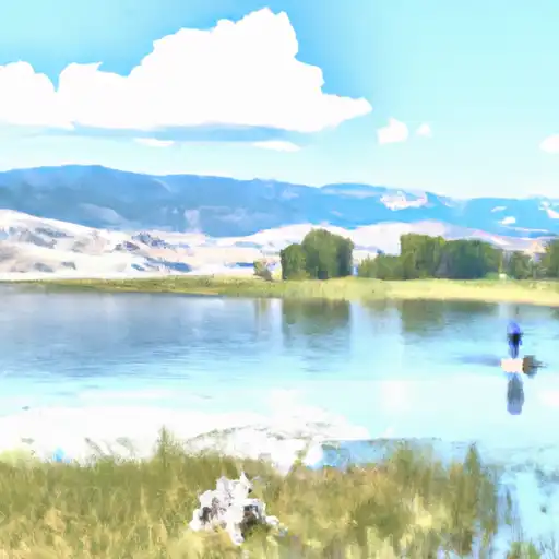
Units 1 and 2 Ash and Clear Water, also known as Refiling 9418r Ash Pond No.1, is a public utility structure located in Lincoln, Wyoming, along HWY. 189. This earth dam, designed by Gary Van Riessen and completed in 1994, serves the primary purpose of debris control on the Hams Fork-Offstream river. With a height of 71 feet and a length of 6100 feet, it has a normal storage capacity of 4057 acre-feet and covers a surface area of 206 acres. Despite being classified as low hazard potential, the dam is in fair condition as of the last inspection in August 2021.
The structure is situated in Congressional District 00 of Wyoming, represented by Liz Cheney (R), and falls under the regulatory oversight of the State Engineer's Office (SEO). It is subject to state permitting, inspection, and enforcement, ensuring compliance with safety standards and regulations. With a risk assessment rating of High (2), the dam poses some level of risk that is likely being managed through appropriate risk management measures. The absence of a spillway and the presence of two other controlled outlet gates indicate a unique design for managing water flow.
Overall, Units 1 and 2 Ash and Clear Water is an essential component of water resource management in Wyoming, safeguarding against debris and contributing to the overall protection of the surrounding environment. Climate and water resource enthusiasts will find this structure intriguing due to its design features, purpose, and regulatory framework, emphasizing the importance of responsible infrastructure development in maintaining a sustainable water supply and mitigating potential hazards.
Plan around the weather
Same NOAA / yr.no feed Snoflo's iOS app uses. Watch the precipitation column on the meteogram -- rain on the basin upstream typically lifts inflow 24-72 hours later.
Next 5 days, hour by hour
Temperature line with weather symbols on top, snow + rain accumulation as columns, humidity as a dotted line.
5-day forecast table
Every 3 hours, broken out across temperature, snow, rain, humidity, and wind. Each cell is colour-coded relative to the column min/max.
| Time | Condition | Temp (°F) | Snow (in) | Rain (in) | Humidity (%) | Wind (mps) | Wind dir |
|---|---|---|---|---|---|---|---|
| Loading detailed forecast… | |||||||
15-day temperature & precipitation
Daily temperatures, snow, and rain projected over the next two weeks.
Nearby streamflow gauges
USGS streamgauges around Units 1 And 2 Ash And Clear Water -- inflows here typically show up in storage 24-72 hours later.
| Streamgauge | Discharge | View |
|---|---|---|
| Bear River Below Pixley Dam | 0 cfs | → |
| Fontenelle C Nr Herschler Ranch | 33 cfs | → |
| Hams Fork Below Pole Creek | 35 cfs | → |
| Bear River Below Reservoir | 70 cfs | → |
| Bear River Above Reservoir | 58 cfs | → |
| Bear River Below Smiths Fork | 109 cfs | → |


About Units 1 And 2 Ash And Clear Water
Where does the data for Units 1 And 2 Ash And Clear Water come from?
Structural and regulatory data come from the U.S. Army Corps of Engineers' National Inventory of Dams (NID). Weather forecast comes from NOAA / yr.no -- the same feed Snoflo's iOS app uses.
How often is the report updated?
NID structural data refreshes annually as the Corps publishes updated assessments. The weather forecast refreshes throughout the day.
What does the Low hazard rating mean?
The Corps of Engineers' hazard potential classification grades probable consequences if the dam fails: High = probable loss of human life; Significant = no probable loss of human life but possible economic loss / environmental damage; Low = no probable loss of human life, only minor economic / environmental losses. See the Dam Data Reference card below for the full definitions.
What's "% of normal"?
The current storage value compared to the historical average storage on this calendar day. 100% = right on average; values above 100% mean above-normal storage (wet year); values below mean below-normal (dry year or drought).
Can I get alerts when storage crosses a threshold?
Yes -- alerts are managed in the Snoflo iOS app. Favorite this dam, set a threshold, and you'll get a push the moment conditions cross.
Dam data reference
Condition Assessment
- Satisfactory
- No existing or potential dam safety deficiencies are recognized. Acceptable performance is expected under all loading conditions (static, hydrologic, seismic) in accordance with the minimum applicable state or federal regulatory criteria or tolerable risk guidelines.
- Fair
- No existing dam safety deficiencies are recognized for normal operating conditions. Rare or extreme hydrologic and/or seismic events may result in a dam safety deficiency. Risk may be in the range to take further action.
- Poor
- A dam safety deficiency is recognized for normal operating conditions which may realistically occur. Remedial action is necessary. POOR may also be used when uncertainties exist as to critical analysis parameters which identify a potential dam safety deficiency.
- Unsatisfactory
- A dam safety deficiency is recognized that requires immediate or emergency remedial action for problem resolution.
- Not Rated
- The dam has not been inspected, is not under state or federal jurisdiction, or has been inspected but, for whatever reason, has not been rated.
Hazard Potential Classification
- High
- Dams assigned the high hazard potential classification are those where failure or mis-operation will probably cause loss of human life.
- Significant
- Dams assigned the significant hazard potential classification are those dams where failure or mis-operation results in no probable loss of human life but can cause economic loss, environmental damage, disruption of lifeline facilities, or impact other concerns. Significant hazard potential classification dams are often located in predominantly rural or agricultural areas but could be in areas with population and significant infrastructure.
- Low
- Dams assigned the low hazard potential classification are those where failure or mis-operation results in no probable loss of human life and low economic and/or environmental losses. Losses are principally limited to the owner's property.
- Undetermined
- Dams for which a downstream hazard potential has not been designated or is not provided.