Blacktail Mountain Ski Area Ski Report
Last Updated: May 7, 2026
Leave a Rating°F
°F
mph
Wind
%
Humidity
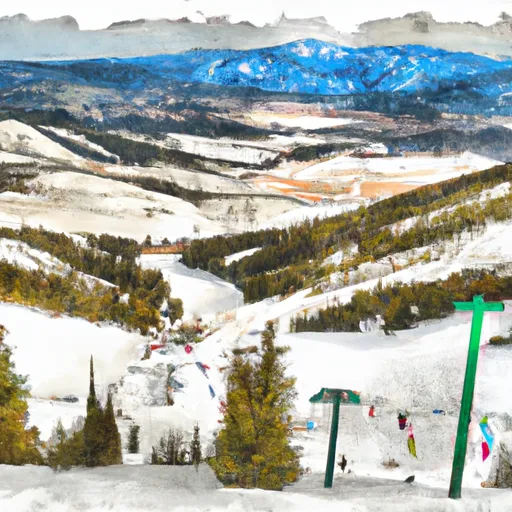
Blacktail Mountain Ski Area is a cozy resort in Montana, offering 1000 acres of skiable terrain for all levels.
Summary
No new snow to report today, with snowpack levels sitting at 0.0". Snowpack levels for this time of year average around 10 inches, but can be as high as 67 inches. Weather today, sunny, with a high near 61. south southwest wind 3 to 8 mph. winds could gust as high as 20 mph.
15-Day Snow Forecast
Snowfall Accumulations
5-Day Hourly Forecast Detail
Seasonal Comparison
Year over year snow water equivalent
Snow Water Equivalent (SWE) shows how much water the snow holds. This is ideal for year-to-year tracking of real snowfall and water resources. Measurements from Blacktail Mtn.
Regional Snowpack Depth
Snow levels measured from Blacktail Mtn
Snowpack depth measures how much snow has accumulated in the area. This is a key indicator of powder quality, trail coverage, and how epic your runs are going to be this season at Blacktail Mountain Ski Area.
Historical Air Temperature
Temperature fluctuations at Blacktail Mountain Ski Area
Recent air temperature fluctuations at Blacktail Mountain Ski Area impact snow quality and stability, from powder to slush.
About this Location
Blacktail Mountain Ski Area is located in the Flathead National Forest in northwestern Montana. The ski resort is situated in the Salish Mountains, a subrange of the Rocky Mountains. The highest point at Blacktail Mountain Ski Area is 6,780 feet, offering skiers and snowboarders breathtaking views of Flathead Lake and the surrounding mountains. The ski area has a vertical drop of 1,440 feet and offers a variety of terrain for all skill levels, including groomed runs, glades, and steep chutes.
The resort's best trails are the groomed runs, namely the aptly named Easy Street and the more difficult trails on the North Face. Few people know that the area was once a cattle ranch and logging operation. Beginner skiers should check out the Magic Carpet area, which offers a gentle slope for learning. The best après ski bar at Blacktail Mountain is the Base Lodge, offering draft beers, hot toddies, and a cozy atmosphere.
Blacktail Mountain Ski Area FAQ
Where does our Blacktail Mountain Ski Area snow data come from?
This snow report combines on-mountain observations, regional SNOTEL sensors, and weather model data specific to Blacktail Mountain Ski Area and the surrounding region.
How much snow did Blacktail Mountain Ski Area receive over the past day?
The ski area received 0" of new snowfall since yesterday.
What's the weather like at Blacktail Mountain Ski Area today?
Weather today, sunny, with a high near 61. south southwest wind 3 to 8 mph. winds could gust as high as 20 mph.
What are some ski resorts near Blacktail Mountain Ski Area?
Whitefish Mountain Resort
Montana Snowbowl
Turner Mountain
Teton Pass Ski Area
Lookout Pass

 Lake County
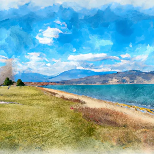 West Shore State Park
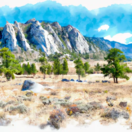 Lone Pine State Park
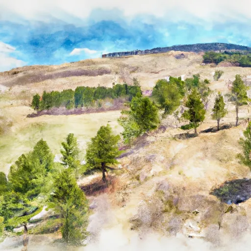 Wayfarers State Park
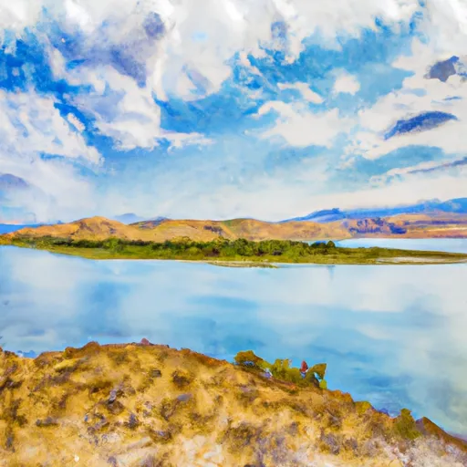 Wild Horse Island State Park
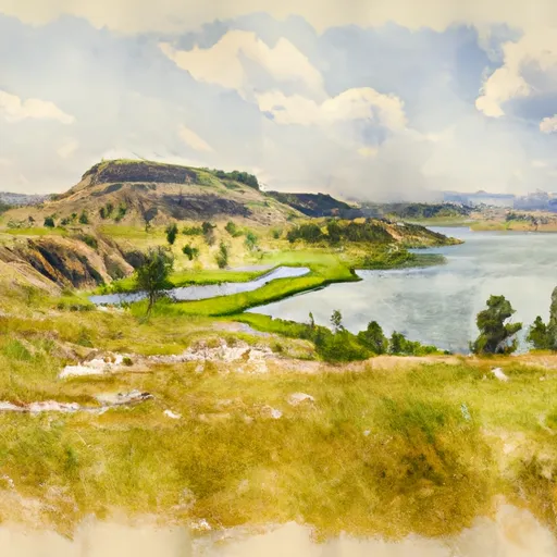 Big Arm State Park
 Continue with Snoflo Premium