
MONTANA SNOW REPORT
Last Updated: March 28, 2026
Snowpack levels across the state are currently 76% of normal. The deepest snowpack in Montana was last observed at Moss Peak with a snowpack depth of 107”, about 107% of normal when compared to it's 100" average depth for this time of year.
Montana Snowpack Map
Explore real-time snowpack depths across Montana.
Montana Ski Area Forecast
Next 15 Days
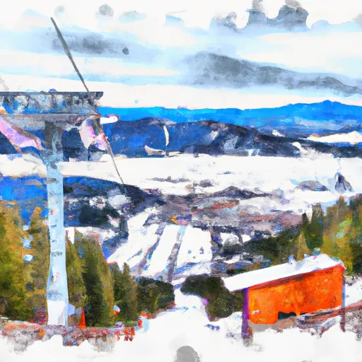
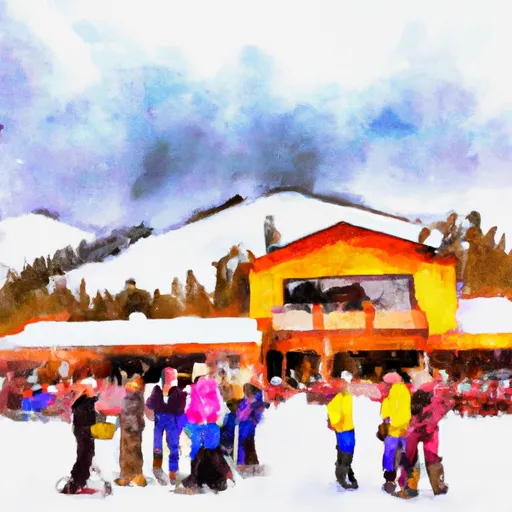
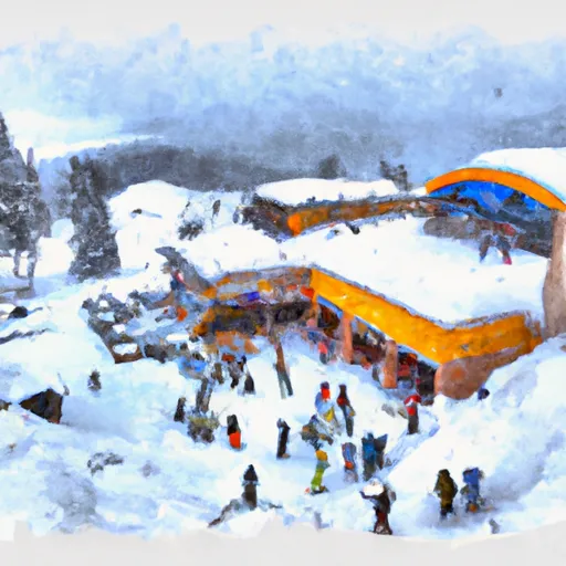
 Bear Paw Ski Bowl
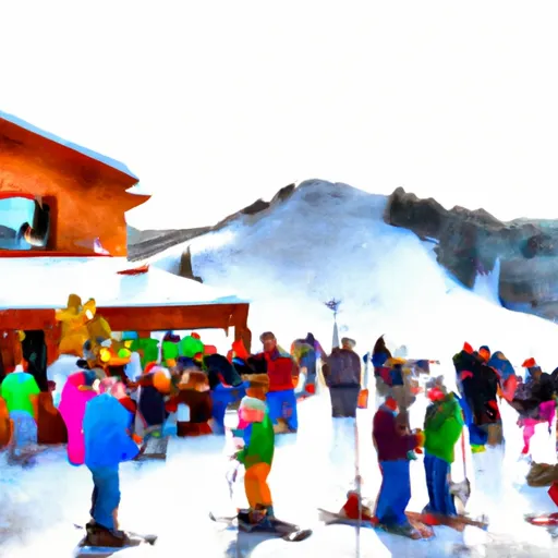
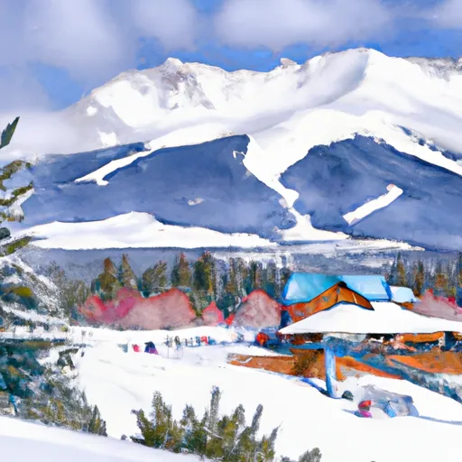
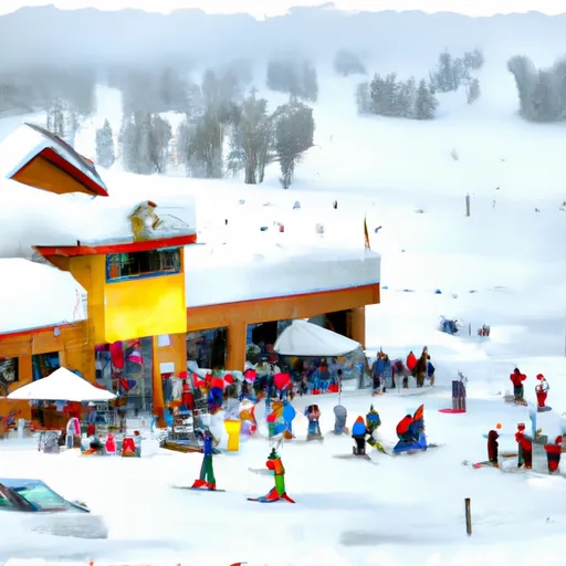
 Big Sky Resort
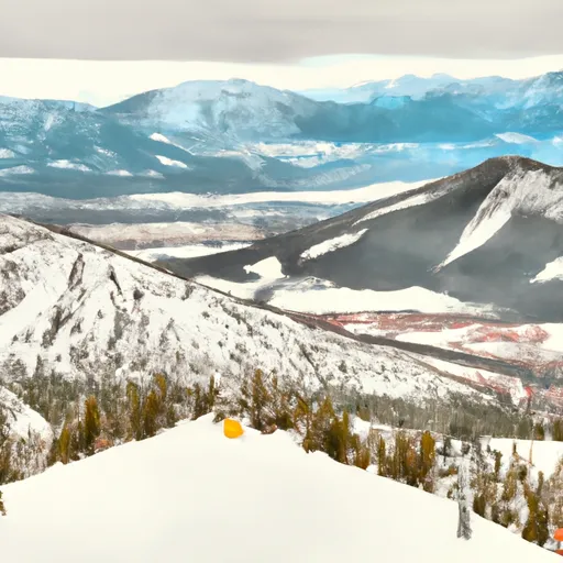
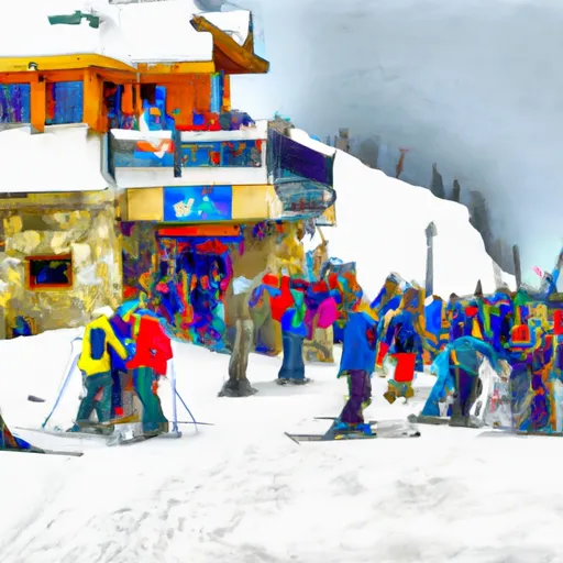
 Blacktail Mountain Ski Area
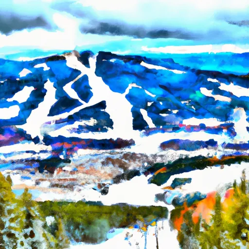
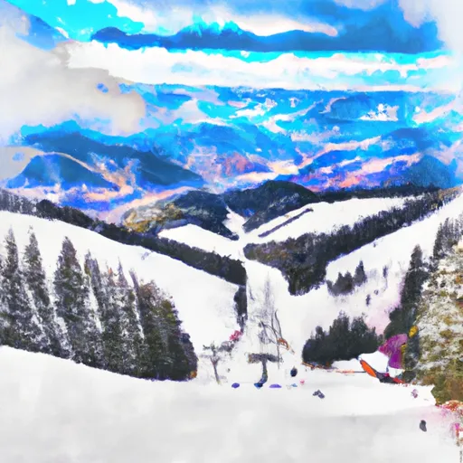
 Bridger Bowl Ski Area
 Discovery Ski Area
 Great Divide Snowsports
 Montana Snowbowl
 Moonlight Basin
 Red Lodge Mountain
 Showdown Ski Area
 Spanish Peaks Resort
 Teton Pass Ski Area
 Turner Mountain
 Whitefish Mountain Resort
 Yellowstone Club
Montana Snow Report FAQs
How often is this report updated?
Daily from SNOTEL and NOAA sources.
What are snowpack levels in Montana like right now?
Snowpack levels across Montana are approximately 76.0% of normal compared to previous years.
Where is it coldest in Montana right now?
Flattop Mtn. is experiencing frigid temperatures of 35°.
Where in Montana will get the most snowfall this week?
Nohrsc Many Glacier is expected to receive up to 15" of more snowfall over the next 5 days.
Where is the most snow in Montana today?
Currently at Moss Peak with 107".