
UTAH SNOW REPORT
Last Updated: December 27, 2025
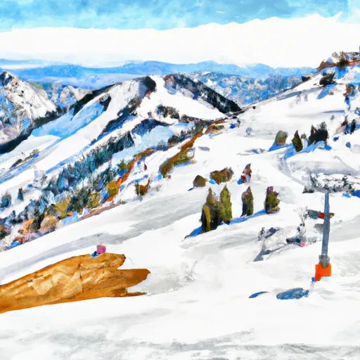
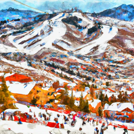
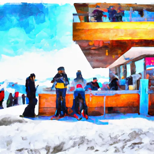
Snowpack levels across the state are currently 45% of normal. The deepest snowpack in Utah was last observed at Nohrsc 11K29 - Upper Joe'S Valley Snow Course with a snowpack depth of 130”, about 198% of normal when compared to it's 66" average depth for this time of year. Utah's snowpack remains lower than average despite recent storms, with areas like King's Cabin reporting a substantial depth of 188 inches while others like Dry Fork linger at a mere 1 inch. The state braces for winter weather advisories and potential closures at North Ogden Divide due to avalanche risks.
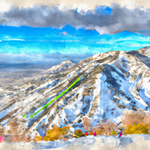
Utah Snowpack Map
Explore real-time snowpack depths across Utah.
Winter Storm Warnings
December 27 2025
SOUTHERN MOUNTAINS
CENTRAL MOUNTAINS
WASATCH MOUNTAINS I-80 NORTH; WASATCH ...
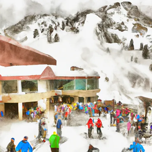
Residents across Utah, particularly in the Southern Mountains, Central Mountains, Eastern Uinta Mountains, and regions including the high Uintas, upper Cottonwoods, and Bear River Range, are advised to prepare for significant winter weather conditions today. The National Weather Service has issued advisories forecasting snow accumulations between 6 to 18 inches, with potential travel disruptions and hazardous driving conditions due to heavy snowfall and gusting winds. Areas above 8000 feet are expected to be hardest hit, and caution is urged for anyone traveling in these regions until the advisories expire later this evening.
Avalanche Conditions
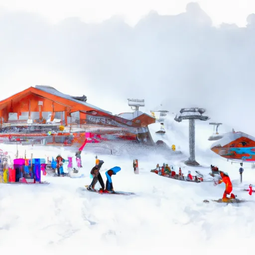
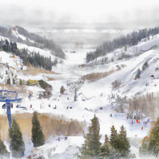
Utah Ski Area Forecast
Next 5 Days
 Alta Ski Area
 Beaver Mountain Ski Area
 Brian Head Resort
 Brighton Ski Resort
 Canyons
 Cherry Peak
 Dc Shoes Mountain Lab
 Deer Valley Resort
 Park City Mountain Resort
 Powder Mountain
 Snowbasin
 Snowbird Ski And Summer Resort
 Solitude Mountain Resort
 Sundance
Utah Snow Report FAQs
How often is this report updated?
Daily from SNOTEL and NOAA sources.
What are snowpack levels in Utah like right now?
Snowpack levels across Utah are approximately 45.0% of normal compared to previous years.
Where is it coldest in Utah right now?
Nohrsc 10J23 - Buck Pasture is experiencing frigid temperatures of 18°.
Where in Utah will get the most snowfall this week?
Pine Creek is expected to receive up to 6" of more snowfall over the next 5 days.
Where is the most snow in Utah today?
Currently at Nohrsc 11K29 - Upper Joe'S Valley Snow Course with 130".