UTAH SNOW REPORT
Last Updated: March 28, 2026
Snowpack levels across the state are currently 32% of normal. The deepest snowpack in Utah was last observed at Nohrsc 11K29 - Upper Joe'S Valley Snow Course with a snowpack depth of 130”, about 139% of normal when compared to it's 94" average depth for this time of year.
Utah Snowpack Map
Explore real-time snowpack depths across Utah.
Utah Snow Report FAQs
How often is this report updated?
Daily from SNOTEL and NOAA sources.
What are snowpack levels in Utah like right now?
Snowpack levels across Utah are approximately 32.0% of normal compared to previous years.
Where is it coldest in Utah right now?
Nohrsc 13H05 - George Creek is experiencing frigid temperatures of 44°.
Where is the most snow in Utah today?
Currently at Nohrsc 11K29 - Upper Joe'S Valley Snow Course with 130".

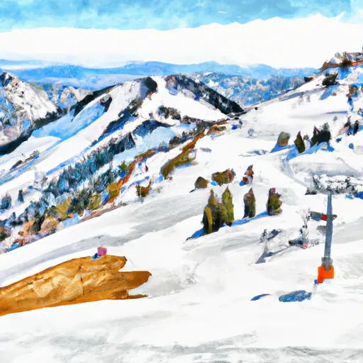 Alta Ski Area
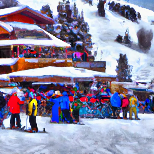 Beaver Mountain Ski Area
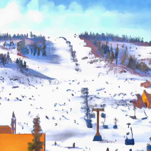 Brian Head Resort
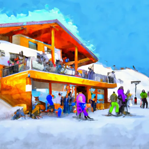 Brighton Ski Resort
 Canyons
 Cherry Peak
 Dc Shoes Mountain Lab
 Deer Valley Resort
 Park City Mountain Resort
 Powder Mountain
 Snowbasin
 Snowbird Ski And Summer Resort
 Solitude Mountain Resort
 Sundance