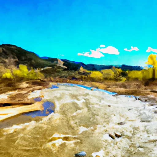
South Section Line Sec 34, T1n, R83w To Confluence With Decker Creek River Run
Community Reviews
Been here? Share the conditions.
Reviews, ratings & photos are added in the free Snoflo iOS app — rate a spot, tag the conditions, and your visit is verified by location. Add or manage your reviews from the app.
South Section Line Sec 34, T1n, R83w To Confluence With Decker Creek
Some notable rapids and obstacles on this section include Pinball, Upper and Lower Falls, and Sledgehammer. Pinball is a technical rapid with several rocks and tight turns, while Upper and Lower Falls are steep drops that require precise navigation. Sledgehammer is a powerful hydraulic that can swamp rafts and kayaks if not approached with caution.
There are specific regulations that apply to this section of the river, including a permit requirement for commercial guiding operations and a prohibition on camping within 200 feet of the riverbank. It is also important to note that this section of the river is subject to seasonal closures, so it is important to check with local authorities before planning a trip.
Plan your run down to the hour
Same weather feed Snoflo's iOS app uses -- updated continuously from NOAA / yr.no. Watch the precipitation column on the meteogram; rain ahead of a run typically lifts flows 12-48 hours later depending on the basin.
Next 5 days, hour by hour
Temperature line with weather symbols on top, snow + rain accumulation as columns, humidity as a dotted line.
5-day forecast table
Every 3 hours, broken out across temperature, snow, rain, humidity, and wind. Each cell is colour-coded relative to the column min/max.
| Time | Condition | Temp (°F) | Snow (in) | Rain (in) | Humidity (%) | Wind (mps) | Wind dir |
|---|---|---|---|---|---|---|---|
| Loading detailed forecast… | |||||||
15-day temperature & precipitation
Daily temperatures, snow, and rain projected over the next two weeks -- the upstream story that drives next week's flows.
Regional streamflow levels
USGS streamgauges around South Section Line Sec 34, T1n, R83w To Confluence With Decker Creek -- useful for spotting upstream pulses and gauging which tributary is contributing what.
| Streamgauge | Discharge | View |
|---|---|---|
| Colorado River Near Kremmling | 996 cfs | → |
| Piney River Near State Bridge | 8 cfs | → |
| Muddy Crk Blw Wolford Mtn Reser. Nr Kremmling | 373 cfs | → |
| Muddy Creek Above Antelope Creek Nr. Kremmling | 3 cfs | → |
| Blue River Below Green Mountain Reservoir | 300 cfs | → |
| Yampa River Below Stagecoach Reservoir | 30 cfs | → |
Plan a longer trip
The closest boat launches, other paddle runs, and campgrounds so a day on the water can grow into a full weekend.
Boat launches
- Two Bridges Boat Ramp
- Radium Rec Site Boat Ramp
- State Bridge Boat Ramp
- State Bridge River Access
- Catamount Bridge Boat Ramp
- Confluence Rec Site Boat Ramp
Other river runs
- State Bridge To Two Bridges
- Pumphouse
- Colorado River Segment 5
- Colorado River Segment 6
- State Bridge To Burns
Campgrounds
- Lynx Pass
- Rock Creek Recreation Area
- Cell Tower
- Lynx Pass Campground
- Blacktail Creek
- Blacktail Creek Campground
Whitewater safety
- Check the flow before you run
- Use the linked-gauge card and Regional Flow panel above. Class ratings change with flow -- a Class III at low water can become Class IV+ at high water.
- Know your skill ceiling
- Pick runs comfortably below your ceiling. Cold-water and big-water runs raise the consequences of any mistake.
- Wear the right gear
- Helmet, PFD, drysuit / wetsuit when water is below 60°F. Throw bag, knife, and whistle on your person, not in the boat.
- Scout, set safety, and run with a team
- Scout new rapids on foot, set safety with throw bags above the consequence pool, and run with at least one other competent paddler.
- Respect the river
- Strainers, undercuts, low-head dams, and wood can kill at any class rating. When in doubt, portage.
Set push alerts in the Snoflo app
Save South Section Line Sec 34, T1n, R83w To Confluence With Decker Creek as a favorite, set a discharge threshold (e.g. "alert me when flow hits 600 cfs"), and the iOS app pushes the moment the linked gauge crosses.
About South Section Line Sec 34, T1n, R83w To Confluence With Decker Creek
What's the optimal flow for South Section Line Sec 34, T1n, R83w To Confluence With Decker Creek?
The optimal flow depends on the section and the craft. Check the Run Details panel for the linked gauge and current status.
How fresh is the cfs reading on this page?
The linked USGS streamgauge reports continuously (every 15 minutes); Snoflo refreshes throughout the day. Hover the streamflow sparkline to read individual datapoints.
What's the whitewater class?
See the Run Details panel for the class rating Snoflo tracks for this run. Class ratings change with flow -- a Class III at low water can become Class IV in high water.
Where do I put in / take out?
Tap Directions in the hero above to open driving directions to the put-in. For shuttle planning, check the Nearby Boat Launches panel and the river run operator's site.
Can I get alerts when flows hit the optimal range?
Yes -- alerts are managed in the Snoflo iOS app. Favorite this run, set a discharge threshold, and you'll get a push the moment the gauge crosses.
Other runs near here
Snoflo-tracked paddle runs within driving distance of South Section Line Sec 34, T1n, R83w To Confluence With Decker Creek.