Summary
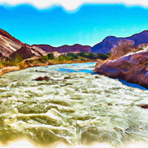
With its challenging rapids, including the infamous "Yarmony Rapid," this river run is suitable for intermediate to advanced paddlers. The best time of year to float this section of water is from May to September, with recommended CFS levels ranging from 1,000 to 2,000. Paddlers should be aware of several river obstacles, including tight turns and large boulders, which require careful navigation. Overall, this river run provides a thrilling whitewater experience for those looking to tackle some of Colorado's most challenging rapids.
°F
°F
mph
Wind
%
Humidity
15-Day Weather Outlook
River Run Details
| Last Updated | 2023-06-13 |
| River Levels | 552 cfs (4.29 ft) |
| Percent of Normal | 99% |
| Optimal Range | 700-4000 cfs |
| Status | Too Low |
| Class Level | I to II+ |
| Elevation | 7,356 ft |
| Run Length | 4.8 Mi |
| Gradient | 18 FPM |
| Streamflow Discharge | 490 cfs |
| Gauge Height | 3.6 ft |
| Reporting Streamgage | USGS 09058000 |
5-Day Hourly Forecast Detail
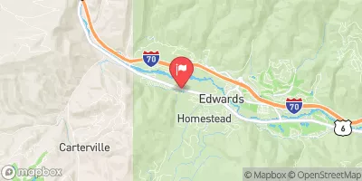
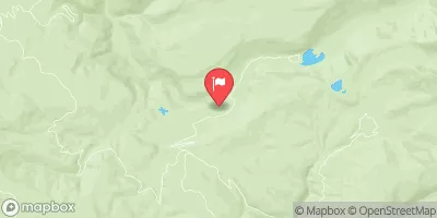
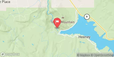
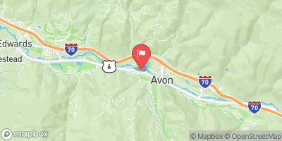
Nearby Streamflow Levels
Area Campgrounds
| Location | Reservations | Toilets |
|---|---|---|
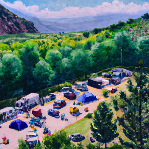 Cable Campsite
|
||
 Beaver Island Campsite
|
||
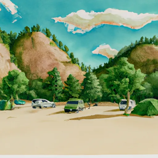 Willow Campsite
|
||
 Ponderosa Campsite
|
||
 Piney Campsite
|
||
 Lester's Ledge Campsite
|


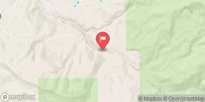
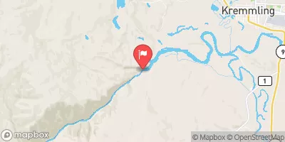
 Two Bridges Boat Ramp
 State Bridge Boat Ramp
 State Bridge River Access
 Catamount Bridge Boat Ramp
 Radium Rec Site Boat Ramp
 Wolcott Boat Ramp
 State Bridge to Two Bridges
 Colorado River Segment 6
 State Bridge to Burns
 South Section Line Sec 34, T1N, R83W To Confluence With Decker Creek
 Burns to Dotsero
 Pumphouse