Summary
It services the Willamette River and is located at a latitude of 44.34614944 and a longitude of -123.72153473. The ramp is suitable for small boats, canoes, and kayaks. There are no restrictions on the type of craft that can be launched from this ramp, but it is important to note that the river can be swift and have a strong current, especially during the rainy season. Boaters are advised to be cautious and prepared before launching from this ramp.
°F
°F
mph
Wind
%
Humidity

 Missouri Bend
 Alsea River
 Lobster Creek
 Fall Creek - Salem
 Drift Creek
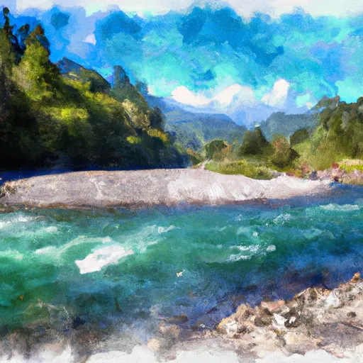 Head Of Tide To Confluence Of North And South Forks