Summary
Situated near Yellowstone National Park, this campground offers a range of amenities to make your camping experience comfortable. The campground provides basic facilities such as pit toilets, picnic tables, and fire rings, ensuring that campers have everything they need for an enjoyable stay. There is also a nearby water source for convenience.
Reservations are not accepted at Tom Miner Campground, making it a first-come, first-served camping area. It is advised to arrive early, especially during the peak season, as the campground can fill up quickly. The best time to visit is during the summer months, from June to September, when the weather is pleasant and outdoor activities are in full swing. However, be prepared for chilly nights even during the summer, as temperatures can drop significantly.
One of the highlights of camping at Tom Miner Campground is its proximity to Yellowstone National Park. This provides campers with easy access to the park's stunning natural beauty and wildlife. Be sure to keep a safe distance from any wildlife encountered and follow the recommended safety guidelines. Additionally, the campground is located in bear country, so it is crucial to practice proper food storage and bear safety measures. Overall, Tom Miner Campground offers a serene and scenic camping experience with plenty of opportunities for outdoor exploration and adventure.
°F
°F
mph
Wind
%
Humidity
15-Day Weather Outlook
Nearby Campgrounds
| Location | Reservations |
|---|---|
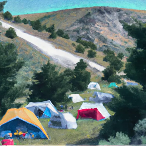 Tom Miner Campground
|
|
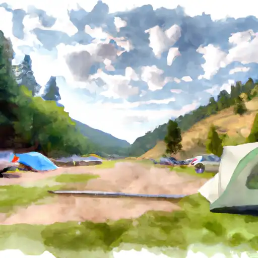 Tom Miner
|
|
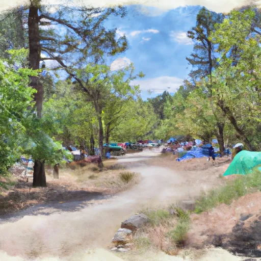 Tom Minor Campground
|
|
 WF2
WF2
|
|
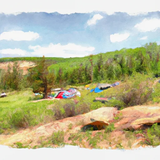 Upper Dailey Creek
|
|
 WE7
WE7
|
5-Day Hourly Forecast Detail
Nearby Streamflow Levels
Camping Essential Practices
Take all trash, food scraps, and gear back with you to keep campsites clean and protect wildlife.
Respect Wildlife
Observe animals from a distance, store food securely, and never feed wildlife to maintain natural behavior and safety.
Know Before You Go
Check weather, fire restrictions, trail conditions, and permit requirements to ensure a safe and well-planned trip.
Minimize Campfire Impact
Use established fire rings, keep fires small, fully extinguish them, or opt for a camp stove when fires are restricted.
Leave What You Find
Preserve natural and cultural features by avoiding removal of plants, rocks, artifacts, or other elements of the environment.
Related Links
Nearby Snowpack Depths
|
CARROT BASIN
|
17" |
|
CARROT BASIN
|
17" |
|
BEAVER CREEK
|
0" |
|
NOHRSC BEAVER CREEK
|
1" |
|
NOHRSC SHOWER FALLS
|
10" |
|
SHOWER FALLS
|
10" |

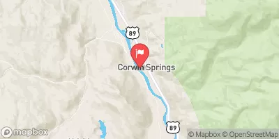
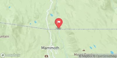
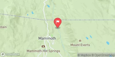
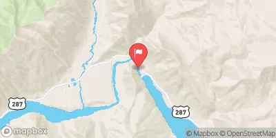
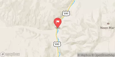
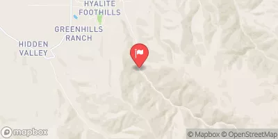
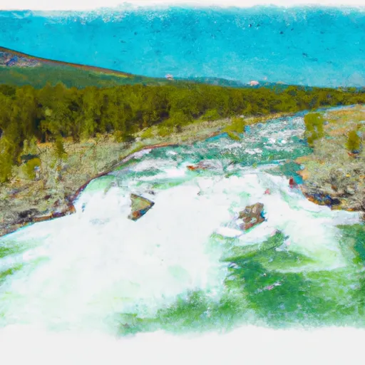 Gallatin Canyon, Sec. 19, T4S, R4E To Yellowstone National Park, Sec. 27, T9S, R5E
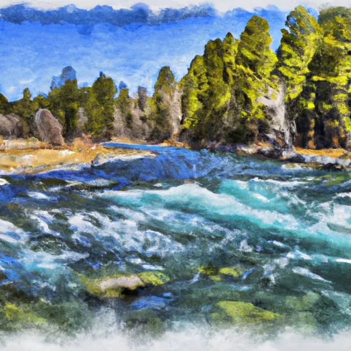 Gallatin Forest Boundary, Sec. 32, T7S, R7E To Yellowstone National Park, Sec. 23, T9S, R8E
 Yankee Jim Canyon (Joe Brown to Miner)