Make an Announcement

Communicate warnings, disperse advice, and share.


YANKEE JIM CANYON (JOE BROWN TO MINER)

Whitewater River Run


Montana Yellowstone River

Yankee Jim Canyon (Joe Brown To Miner)

Class III TO III+

STREAMFLOW: 13,000 CFS

Runnable
72°, Slight Chance Showers Then Chance T-Storms

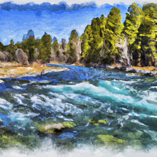
The Yankee Jim Canyon Joe Brown to Miner River run in Montana on the Yellowstone River is a Class II-III run with several challenging rapids, including Joe Brown and Yankee Jim. The best time to float this section is from mid-June to early July with CFS recommendations of 7,000-15,000. It is important to note that there are several river obstacles in this section, including several low bridges and a diversion dam that must be portaged. Overall, this is a unique and exciting stretch of the Yellowstone River that is perfect for intermediate boaters looking for a challenge.

Weather today, A slight chance of showers between 9am and noon, then a chance of showers and thunderstorms after noon. Mostly sunny, with a high near 72. South southeast wind 5 to 9 mph becoming northwest in the afternoon. Chance of precipitation is 40%.

Status Runnable
Class Level III to III+
Elevation 5,094 ft
Run Length 5.0 Mi
Gradient 11 FPM
Streamflow Discharge 13000 cfs
Gauge Height 6.9 ft
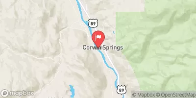
Reporting Streamgage Yellowstone River At Corwin Springs Mt
USGS 06191500

Nearby Streamflow Levels

Gauge Streamflow Stage
Hyalite C At Hyalite R S Nr Bozeman Mt
USGS 06050000
277 cfs 3.3 ft
Boundary Creek Nr Bechler Ranger Station Y.N.P. Wy
USGS 13046680
83 cfs ft
Snake River Ab Jackson Lake At Flagg Ranch Wy
USGS 13010065
4,330 cfs 6.3 ft
Gallatin River Near Gallatin Gateway Mt
USGS 06043500
4,250 cfs 4.6 ft
Missouri River At Toston Mt
USGS 06054500
17,700 cfs 9.0 ft
Henrys Fork Nr Ashton Id
USGS 13046000
2,120 cfs 3.9 ft
Falls River Ab Yellowstone Canal Nr Squirrel Id
USGS 13046995
2,580 cfs 7.7 ft
East Gallatin R Bl Bridger C Nr Bozeman Mt
USGS 06048700
74 cfs ft
Falls River Nr Squirrel Id
USGS 13047500
2,140 cfs 2.8 ft
Yellowstone River Near Livingston Mt
USGS 06192500
16,300 cfs 6.4 ft
Snotel Site Snowpack 24hr Change

Popular Destinations

Campground Campsites Reservations Toilets Showers Elevation
Chisholm 10 6,721 ft
Hood Creek 18 6,729 ft
Hyalite Below Dam Camping 6 6,659 ft
Norris - Yellowstone National Park 100 7,508 ft
Tom Miner 16 7,117 ft
Dailey Lake - FAS None 5,249 ft
Indian Creek - Yellowstone National Park 75 7,307 ft
Langohr 12 6,137 ft
Sunny Brook Springs FAS None 5,436 ft
Canyon 14 5,080 ft
Mammoth - Yellowstone National Park 85 5,988 ft
Madison - Yellowstone National Park 275 6,853 ft
Carbella None 4,984 ft
Ski Area Snowpack Air Temperature 5 Day Forecast
River Run Streamflow Length Class

Log Your Visit

When was your last visit to Yankee Jim Canyon (Joe Brown to Miner)?

Add a Photo

How was it? How were conditions?

Rate the paddle


Submit

Leave A Review

Yankee Jim Canyon (Joe Brown To Miner)

Submit

Upload an Image

Yankee Jim Canyon (Joe Brown To Miner)
Login

Need an Account?

Forgot Your Password?

Delete User Account

Welcome to Snoflo


Continue with a free account

Already Have an Account?


Snoflo Premium

Your first week's free. Cancel anytime

Have a Promo Code?


Already Have an Account?

Signup for Basic Access


Welcome to Snoflo


Continue with a free account

Add Snoflo Premium


Already Have an Account?


Please Verify Your Account

Favorite Limit Reached
Signup for a Free Account

Already Have an Account?