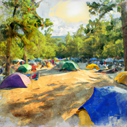
Watsadlers campground
Community Reviews
Been here? Share the conditions.
Reviews, ratings & photos are added in the free Snoflo iOS app — rate a spot, tag the conditions, and your visit is verified by location. Add or manage your reviews from the app.
Watsadlers
The campground offers various amenities to enhance the camping experience. Visitors can enjoy spacious and well-maintained campsites, clean restroom facilities, and picnic areas. Additionally, there are hiking trails for nature enthusiasts to explore the beautiful surroundings. It is important to note that reservations are required at Watsadlers Camping Area. Therefore, it is advisable to make a reservation in advance to secure a spot.
The best time to visit Watsadlers Camping Area is during the spring and autumn seasons when the weather is mild and pleasant. It is recommended to check the weather forecast before planning a trip to ensure enjoyable outdoor activities. While visiting, campers should be cautious of wildlife in the area, particularly snakes and insects. It is advisable to keep food securely stored to avoid attracting unwanted visitors. Overall, Watsadlers Camping Area offers a tranquil camping experience with its excellent amenities, but visitors should take necessary precautions to fully enjoy their stay.
What's on-site at Watsadlers
Key facilities Snoflo tracks for this campground. Confirm with the operator before booking -- amenities can change seasonally.
Plan your trip down to the hour
Same weather feed Snoflo's iOS app uses -- updated continuously from NOAA / yr.no.
Next 5 days, hour by hour
Temperature line with weather symbols on top, snow + rain accumulation as columns, humidity as a dotted line.
5-day forecast table
Every 3 hours, broken out across temperature, snow, rain, humidity, and wind. Each cell is colour-coded relative to the column min/max so trends jump out at a glance.
| Time | Condition | Temp (°F) | Snow (in) | Rain (in) | Humidity (%) | Wind (mps) | Wind dir |
|---|---|---|---|---|---|---|---|
| Loading detailed forecast… | |||||||
15-day temperature & precipitation
Daily temperatures, snow, and rain projected over the next two weeks. Hover any point for the full breakdown.
Other campgrounds in the area
Snoflo-tracked campsites within driving distance of Watsadlers, with reservations status.
| Campground | Reservations | Toilets | View |
|---|---|---|---|
| Crescent Group Campground | ✗ | ✗ | → |
| Big Water Campground | ✗ | ✗ | → |
| Hart State Park | ✗ | ✗ | → |
| Miltown | ✓ | ✗ | → |
| Sadlers Creek State Park | ✓ | ✗ | → |
Nearby streamflow
USGS streamgauges within reach of Watsadlers -- pulled live from the National Water Information System.
| Streamgauge | Discharge | View |
|---|---|---|
| Beaverdam Creek Ab Elberton Ga | 60 cfs | → |
| Rocky River Nr Starr | 28 cfs | → |
| Broad River Above Carlton | 579 cfs | → |
| South Fork Broad River At Carlton | 87 cfs | → |
| Broad River Near Bell | 391 cfs | → |
| Little River Near Mt. Carmel | 43 cfs | → |
Nearby snow depths
NRCS SNOTEL stations within reach of Watsadlers -- relevant when planning a shoulder-season or alpine trip.
| SNOTEL station | Snowpack | 24h Snowfall | View |
|---|---|---|---|
| Anderson | 0.0 in | 0.0 in | → |
| Antreville | 0.0 in | 0.0 in | → |
| Carnesville 7.3 Sw | 0.0 in | 0.0 in | → |
| Fountain Inn 2 Sw | 0.0 in | 0.0 in | → |
Plan a longer trip
The closest parks, lakes, boat launches, and paddle runs so a camping night can grow into a full weekend.
Parks
- Hart State Outdoor Recreation Area
- Sadlers Creek State Park
- Richard B Russell State Park
- Bea Thompson Park
- Carolina Wren Park
- Generator Park
Boat launches
Fishing spots
- Lightwood Log Creek
- Lake Hartwell
- Richard B Russell Lake
- Reservoir Number One
- Parsons Mountain Lake
- Presbyterian Lake
Points of interest
Paddle runs
- Confluence Of Cedar Creek To 1/4 Mile Below The Nf Boundary And Fh 110, Cobbs Bridge Road
- South Of Cedar Creek Rifle Range To Confluence With Chauga River
- 1/4 Mile Below Fs 745 And Cassidy Bridge Hunt Camp To Confluence Of Cedar Creek
- Confluence Of Brasstown Creek And Little Brasstown Creek Just South Of Brasstown Falls Road (Fs 751) To Confluence Of Mill Branch, Brasstown Creek And Boatwright Creek Near Boatwright Road (Fs 753)
- Crpssing Of Land Bridge Road, Sc 196 To 1/4 Mile Below Fs 745 And Cassidy Bridge Hunt Camp
- Headwaters Just East Of Hwy 107 To Crossing Of Norton Field Road (Fs 715a)
Camping essentials & Leave No Trace
- Pack it in, pack it out
- Take all trash, food scraps, and gear back with you to keep campsites clean and protect wildlife.
- Respect wildlife
- Observe animals from a distance, store food securely, and never feed wildlife to maintain natural behavior and safety.
- Know before you go
- Check weather, fire restrictions, trail conditions, and permit requirements to ensure a safe and well-planned trip.
- Minimize campfire impact
- Use established fire rings, keep fires small, fully extinguish them, or opt for a camp stove when fires are restricted.
- Leave what you find
- Preserve natural and cultural features by avoiding removal of plants, rocks, artifacts, or other elements of the environment.
Set push alerts in the Snoflo app
Save Watsadlers as a favorite, set a custom threshold (precipitation, snowpack, freezing temperatures), and the iOS app will push the moment conditions cross.
About Watsadlers
Can I make reservations at Watsadlers?
Yes -- this campground accepts reservations. Snoflo recommends booking early for peak season; check the operator (Recreation.gov / state park system / private operator) for the booking window and cancellation policy.
How fresh is the weather data on this page?
The hourly forecast updates throughout the day from the NOAA / yr.no public feeds. Streamflow data is pulled live from USGS streamgauges and snowpack from the NRCS SNOTEL network.
What's the best time of year to visit?
Use the 15-day temperature & precipitation outlook on this page to plan -- pick a window with comfortable temperatures and low precipitation. For longer trips, the 5-day hourly meteogram shows snow + rain accumulation hour-by-hour.
How do I get to Watsadlers?
Tap Directions in the hero above to open driving directions in Google Maps, or Open in map to center the Snoflo interactive map on the campground.
Can I get alerts when conditions change?
Yes -- alerts are managed through the Snoflo iOS app. Favorite this campground, set a threshold (temperature, snowpack, precipitation), and you'll get a push the moment it crosses.
Other campgrounds near here
Snoflo-tracked campgrounds within driving distance of Watsadlers.