2026-02-24T17:00:00-07:00
* WHAT...West winds 35 to 50 mph with gusts up to 80 mph possible. * WHERE...The Northern Front Range Foothills, the Mosquito Range, and the Front Range Mountains including, Rocky Mountain National Park and the Indian Peaks. * WHEN...From Tuesday morning through late Tuesday afternoon. * IMPACTS...Gusty winds will blow around unsecured objects and a few power outages may result. Travel could be difficult, especially for high profile vehicles.
Summary
Standing at an impressive elevation of 14,155 feet, it is one of the renowned Fourteeners of Colorado. The mountain is part of the Mosquito Range and offers a challenging but rewarding hiking and mountaineering experience to outdoor enthusiasts. It is surrounded by other notable peaks such as Mount Lincoln, Mount Cameron, and Mount Bross.
During the winter season, Mount Democrat receives a significant amount of snowfall due to its high elevation. The snowpack range can vary depending on the year, with depths often exceeding several feet. This makes the mountain an attractive destination for winter sports enthusiasts, including backcountry skiers and snowshoers.
The mountain's runoff feeds into several creeks and rivers, including the North Fork of the South Platte River and the Mosquito Creek. These waterways benefit from the melting snow during spring and summer, providing important resources for wildlife and outdoor recreation activities such as fishing and rafting.
As for the name and lore surrounding Mount Democrat, it is believed to have been named by prospectors in the 19th century. The name supposedly refers to the mountain's steep and challenging terrain, which was seen as a metaphor for the uphill battle faced by the Democratic Party during that time. However, it is important to note that the accuracy of this legend may vary, as historical records can often be contradictory.
In conclusion, Mount Democrat is a majestic peak in the Rocky Mountains, offering breathtaking views and thrilling mountaineering opportunities. Its impressive elevation, snowpack range, and contribution to local waterways make it a significant feature of the surrounding landscape. Whether you're an avid hiker, a winter adventurer, or someone interested in the history and lore of the region, Mount Democrat is a must-visit destination for anyone exploring the Rockies.
°F
°F
mph
Wind
%
Humidity
15-Day Weather Outlook
5-Day Hourly Forecast Detail
Regional Streamflow Levels
73
Cubic Feet Per Second
21
Cubic Feet Per Second
8
Cubic Feet Per Second
93
Cubic Feet Per Second
Area Campgrounds
| Location | Reservations | Toilets |
|---|---|---|
 Kite Lake Campground
|
||
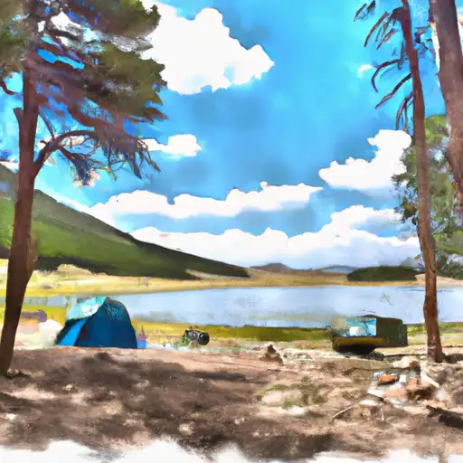 Kite Lake
|
||
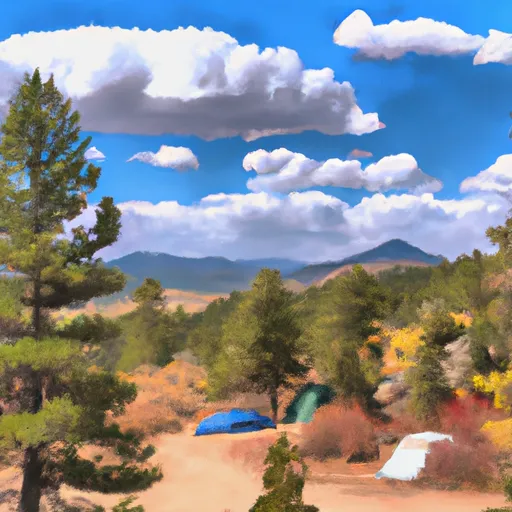 Fourmile
|
||
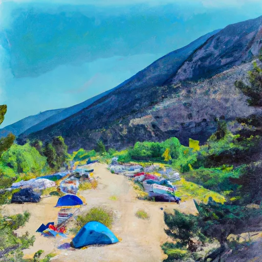 Camp Hale East Fork Group Campground
|
||
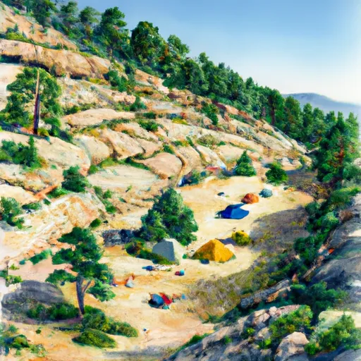 Horseshoe
|
||
 Selkirk Campground
|
