Summary
With an elevation of 13,827 feet (4,214 meters), it stands as one of Colorado's notable fourteeners, attracting mountaineers from around the world. The mountain's immense size and challenging terrain make it a thrilling and rewarding climb for experienced hikers and climbers.
During the winter season, the snowpack on Rio Grande Pyramid can vary greatly. The mountain receives significant amounts of snowfall, creating a deep snowpack that often persists well into spring. The range of snowpack can be influenced by various factors, such as winter weather patterns and elevation. Mountaineers attempting to summit Rio Grande Pyramid during the winter months should be prepared for potentially hazardous conditions and utilize appropriate equipment and knowledge.
The mountain's name originates from the nearby Rio Grande River, which originates in the San Juan Mountains and flows through the Rio Grande Pyramid's region. The Rio Grande River and its tributaries, such as the Conejos River and Weminuche Creek, receive runoff from the mountain, providing a vital water source to the surrounding areas.
While there are no specific historical legends or lore tied to Rio Grande Pyramid, its majestic presence and challenging nature have likely inspired awe and admiration among those who have encountered it throughout history.
°F
°F
mph
Wind
%
Humidity
15-Day Weather Outlook
5-Day Hourly Forecast Detail
Regional Streamflow Levels
26
Cubic Feet Per Second
113
Cubic Feet Per Second
29
Cubic Feet Per Second
113
Cubic Feet Per Second
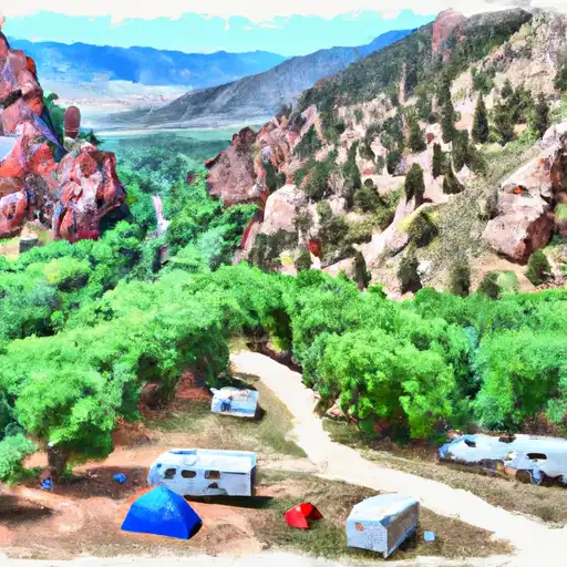
Area Campgrounds
| Location | Reservations | Toilets |
|---|---|---|
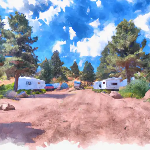 Lost Trail
|
||
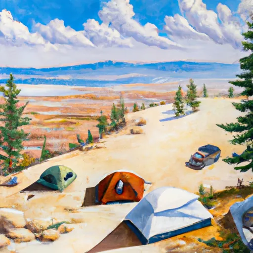 Thirtymile
|
||
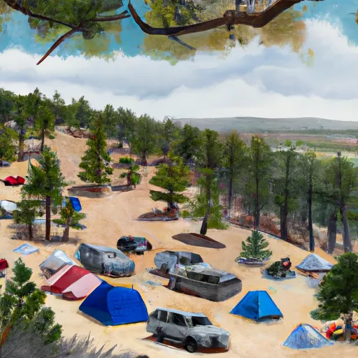 Thirty Mile Campground
|
||
 River Hill Campground
|
||
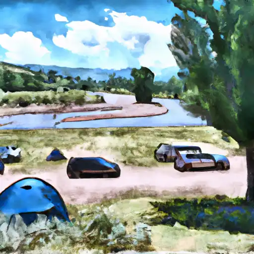 River Hill
|
||
 Road Canyon
|
