Summary
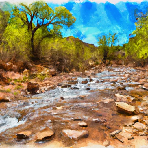
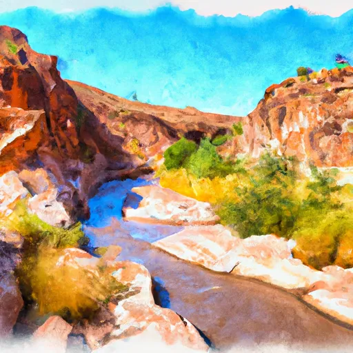
The ideal streamflow range for the Larry Creek is between 75 and 150 cfs, which provides Class III to IV rapids. The segment mileage of the run is approximately 6 miles, with specific river rapids and obstacles including "Muncher," "Corkscrew," and "Larry's Revenge." These rapids provide thrilling challenges for experienced whitewater enthusiasts.
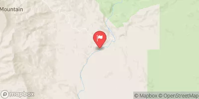
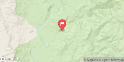
It's important to note that the Larry Creek is located within the Tonto National Forest, which has specific regulations for visitors. Visitors need to obtain a permit to access the river and must adhere to the Tonto National Forest's rules and regulations, such as respecting the environment and packing out all trash.
Overall, the Larry Creek provides a thrilling and challenging whitewater experience for experienced rafters and kayakers. It's essential to check the streamflow range before heading out and follow the specific regulations set forth by the Tonto National Forest.
°F
°F
mph
Wind
%
Humidity
15-Day Weather Outlook
River Run Details
| Last Updated | 2025-06-28 |
| River Levels | 3 cfs (2.52 ft) |
| Percent of Normal | 0% |
| Status | |
| Class Level | iii |
| Elevation | ft |
| Streamflow Discharge | cfs |
| Gauge Height | ft |
| Reporting Streamgage | USGS 09512800 |


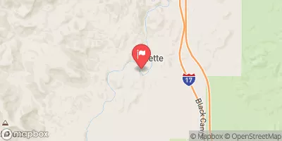
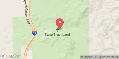
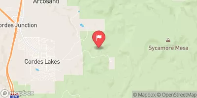
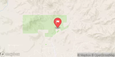
 Larry Creek
 Lousy Canyon
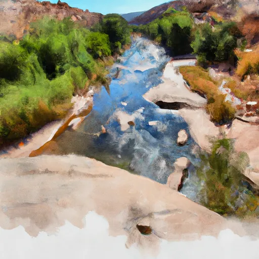 Lousy Canyon Tributary
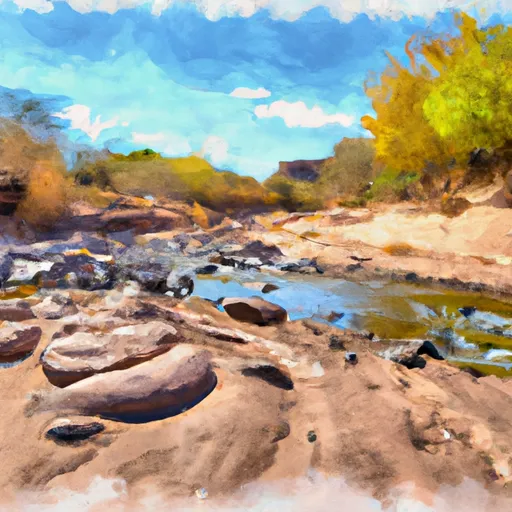 Tank Creek
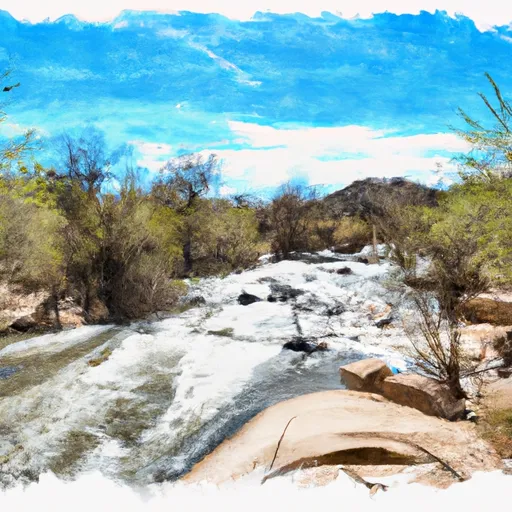 Agua Fria River
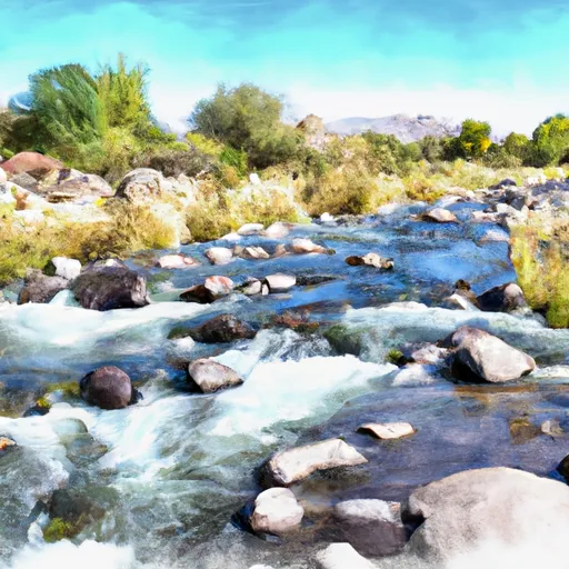 Bishop Creek