Summary
The ideal streamflow range for the river run is between 800 and 2,000 cubic feet per second (cfs). The river is rated as a Class III-IV, which means it has moderate to difficult rapids with irregular waves and obstacles.
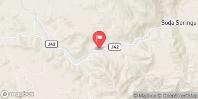
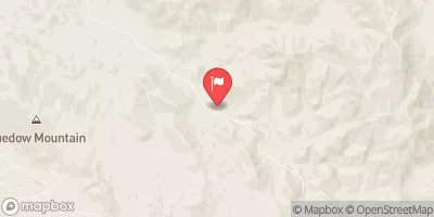
The segment mileage of the Whitewater River Run wilderness boundary is approximately 19 miles. During this river run, rafters will encounter several different rapids and obstacles, including the Meatgrinder, the S-Turn, and the Narrows. These rapids range from Class III to IV, depending on the water flow.
To ensure the safety of all visitors, specific regulations are in place for the Whitewater River Run. All visitors must obtain a permit from the Bureau of Land Management. In addition, a maximum of 15 people are allowed per group. Visitors must also adhere to the Leave No Trace principles while on the river.
Overall, the Whitewater River Run Wilderness Boundary offers a thrilling white water rafting experience for those who are up for the challenge. It is important to note that water flow and weather conditions can change rapidly, so it is important to check the current conditions before embarking on the river run.
°F
°F
mph
Wind
%
Humidity
15-Day Weather Outlook
River Run Details
| Last Updated | 2026-02-05 |
| River Levels | 128 cfs (8.2 ft) |
| Percent of Normal | 122% |
| Status | |
| Class Level | iii-iv |
| Elevation | ft |
| Run Length | 8.0 Mi |
| Streamflow Discharge | cfs |
| Gauge Height | ft |
| Reporting Streamgage | USGS 11206820 |
5-Day Hourly Forecast Detail
Nearby Streamflow Levels
Area Campgrounds
River Runs
-
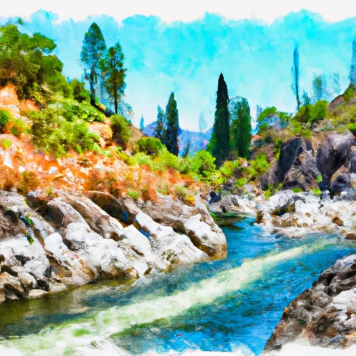 Wilderness Boundary (Boundary Extend 0.25 Mile On Each Side Of River) To Boundary Of Sequoia & Kings Canyon National Park
-
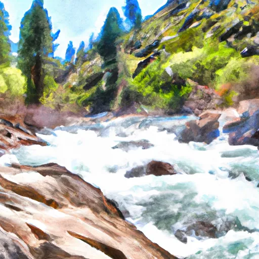 Wilderness Boundary Just Below Tokopah Falls (Boundary Extend 0.25 Mile On Each Side Of River) To Confluence With The Middle Fork Kaweah River
-
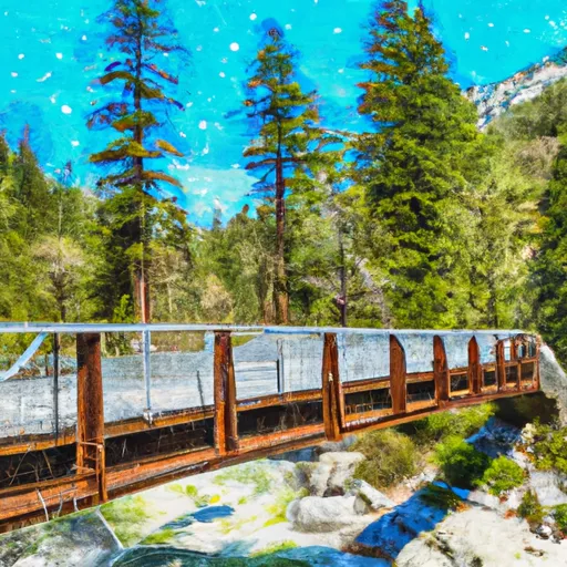 Atwell Mill Trail Bridge At ~5,800 Ft (Boundary Extends 0.25 Mile On Each Side Of The River.) To Boundary Of Sequoia & Kings Canyon National Park
-
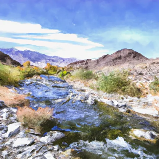 Confluence Of Lone Pine And Hamilton (Deer) Creeks (Boundary Extend 0.25 Mile On Each Side Of River) To Wildernes Boundary
-
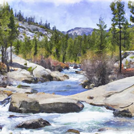 Lake 10,559 (Boundary Extend 0.25 Mile On Each Side Of River) To Wilderness Boundary Just Below Tokopah Falls
-
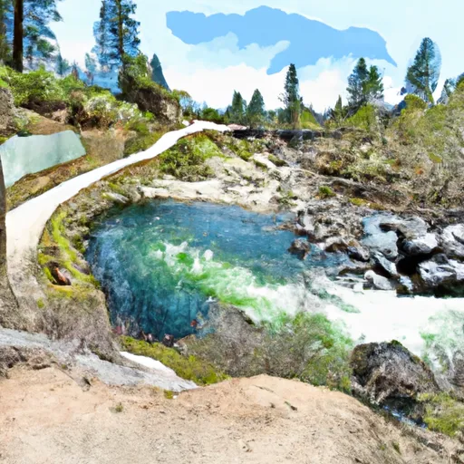 8,000 Ft Contour Line (Boundary Extend 0.25 Mile On Each Side Of River) To The Atwell Mill Trail Bridge At ~ 5,800 Ft


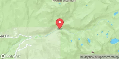
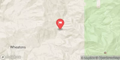
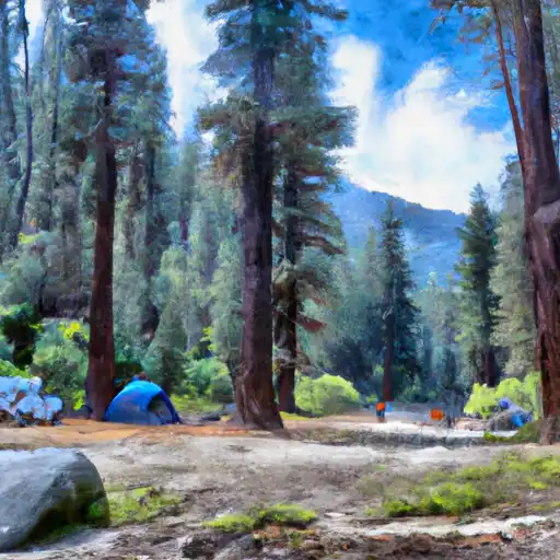 Buckeye Flat - Sequoia National Park
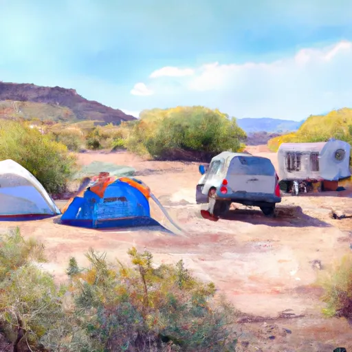 Buckeye Flat
 Potwisha
 Potwisha - Sequoia National Park
 Quaking Aspin Camp Ground
 Lodgepole - Sequoia National Park