Summary
The ideal streamflow range for this segment is between 400-1,500 cfs. The class rating for this stretch is class III-IV, with rapids such as "Dragon's Teeth," "Staircase," and "Cherry Creek," providing exciting challenges for intermediate and advanced paddlers. The segment mileage is approximately 10 miles, with breathtaking scenery throughout the run.
There are specific regulations that visitors must adhere to while in the area. All visitors must obtain a wilderness permit, which can be obtained from the ranger station. There are also restrictions on camping and fires, with designated areas for both. Visitors are not allowed to bring pets, and all equipment must be carried out of the area. It is essential to familiarize oneself with all park regulations to ensure a safe and enjoyable experience.
°F
°F
mph
Wind
%
Humidity
15-Day Weather Outlook
River Run Details
| Last Updated | 2026-02-07 |
| River Levels | 43 cfs (3.39 ft) |
| Percent of Normal | 88% |
| Status | |
| Class Level | iii-iv |
| Elevation | ft |
| Streamflow Discharge | cfs |
| Gauge Height | ft |
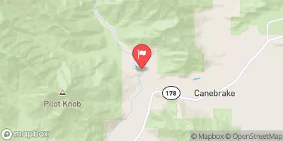
| Reporting Streamgage | USGS 11203580 |


 Grouse Valley Cabin Complex
 Frazier Mill - State Forest
 Hedrick Pond - State Forest
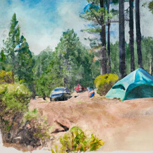 Shake Camp - State Forest
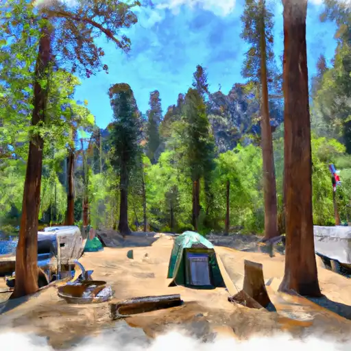 South Fork - Sequoia National Park
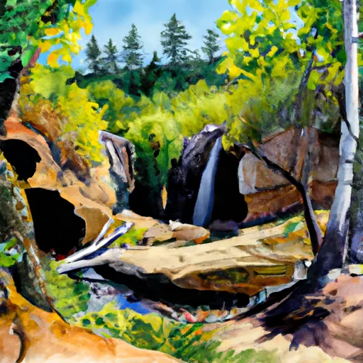 Hidden Falls - State Forest
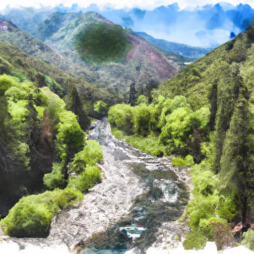 Nf Boundary With Sequoia Np To Nf Boundary
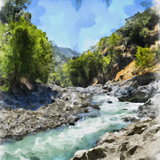 Nf Boundary To Camp Wishon
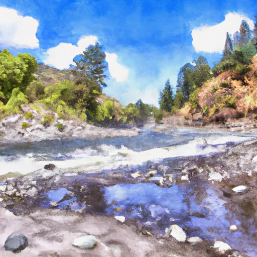 Camp Wishon To Confluence With Middle Fork Tule River
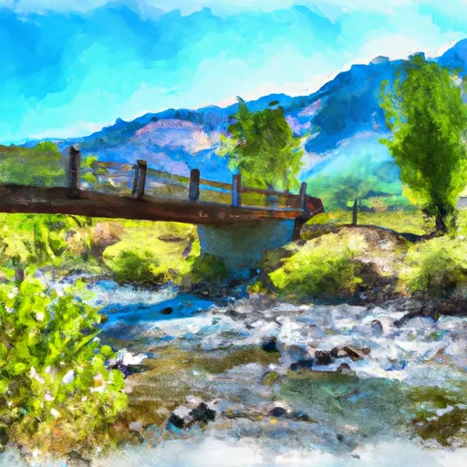 Outlet Of Green Meadows North Of The Windy Gap And Windy Ridges (Boundary Extend 0.25 Mile On Each Side Of River) To Bridge Above South Fork Campground
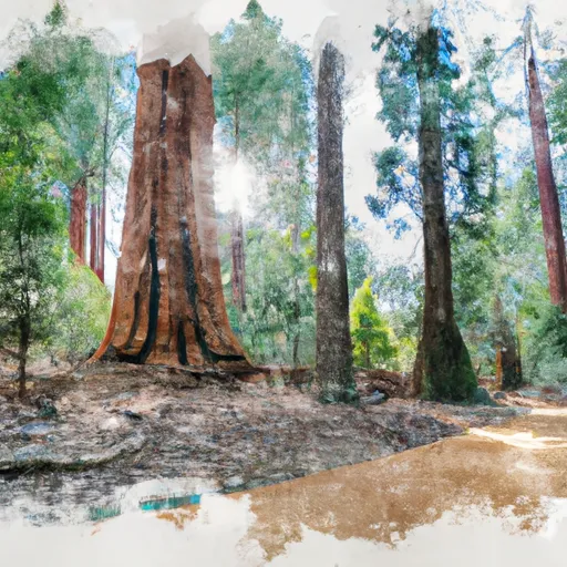 Sequoia National Park
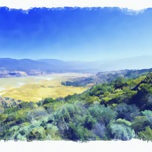 Blue Ridge National Wildlife Refuge
 John Krebs Wilderness (draft boundary)
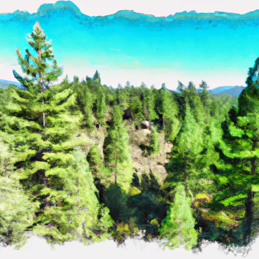 Mountain Home Demonstration State Forest