Outlet Of Green Meadows North Of The Windy Gap And Windy Ridges (Boundary Extend 0.25 Mile On Each Side Of River) To Bridge Above South Fork Campground Paddle Report
Last Updated: 2026-02-07
The Whitewater River Run in California offers a thrilling whitewater experience with class III and IV rapids.
Summary
The ideal streamflow range for this run is between 700 and 1500 cfs, which typically occurs in the spring and early summer months. The segment mileage from the outlet of Green Meadows to the bridge above South Fork Campground is approximately 6 miles.
Some notable rapids and obstacles along the run include "Bouncing Rock," a class III+ rapid with a large boulder in the middle, and "Zapata Falls," a class IV drop with a narrow chute. The run also features tight turns and technical maneuvers that require skilled navigation.
To ensure safety and protect the environment, there are specific regulations in place for the Whitewater River Run. The boundary extends 0.25 miles on each side of the river, and camping is only allowed in designated areas. Additionally, boaters must wear personal flotation devices and respect the natural surroundings by packing out all trash.
Overall, the Whitewater River Run offers a challenging and exciting adventure for experienced whitewater enthusiasts who are properly equipped and prepared.
°F
°F
mph
Wind
%
Humidity
15-Day Weather Outlook
River Run Details
| Last Updated | 2026-02-07 |
| River Levels | 128 cfs (8.2 ft) |
| Percent of Normal | 84% |
| Status | |
| Class Level | iii-iii+ |
| Elevation | ft |
| Run Length | 12.0 Mi |
| Streamflow Discharge | cfs |
| Gauge Height | ft |
| Reporting Streamgage | USGS 11206820 |
5-Day Hourly Forecast Detail
Area Campgrounds
River Runs
-
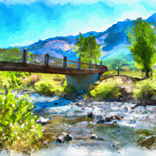 Outlet Of Green Meadows North Of The Windy Gap And Windy Ridges (Boundary Extend 0.25 Mile On Each Side Of River) To Bridge Above South Fork Campground
-
 9,000 Ft Contour Line (Boundary Extend 0.25 Mile On Each Side Of River) To 8,000 Ft Contour Line
-
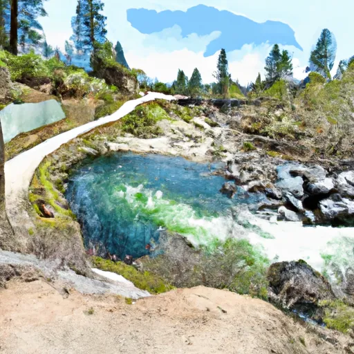 8,000 Ft Contour Line (Boundary Extend 0.25 Mile On Each Side Of River) To The Atwell Mill Trail Bridge At ~ 5,800 Ft
-
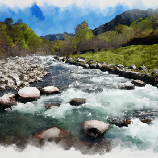 Nf Boundary To Table Meadows Creek
-
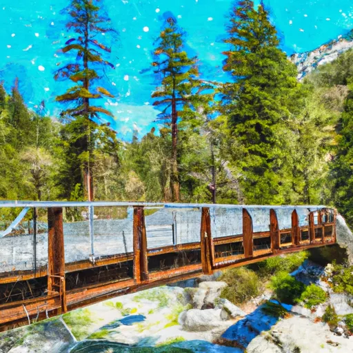 Atwell Mill Trail Bridge At ~5,800 Ft (Boundary Extends 0.25 Mile On Each Side Of The River.) To Boundary Of Sequoia & Kings Canyon National Park
-
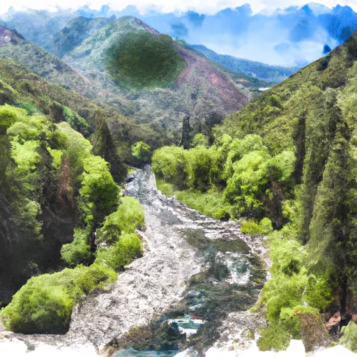 Nf Boundary With Sequoia Np To Nf Boundary


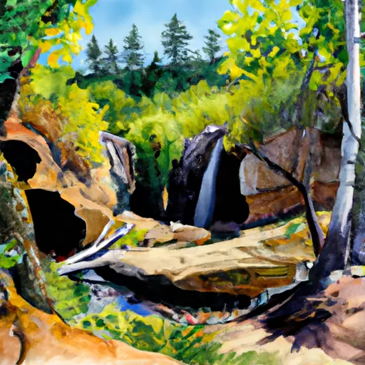 Hidden Falls - State Forest
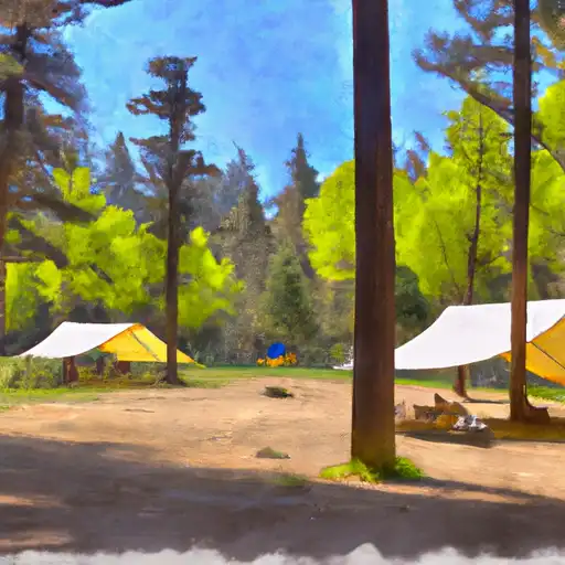 Moses Gulch - State Forest
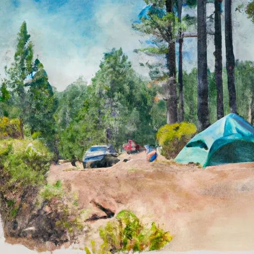 Shake Camp - State Forest
 Cold Springs - Sequoia National Park
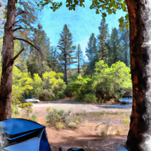 Frazier Mill - State Forest
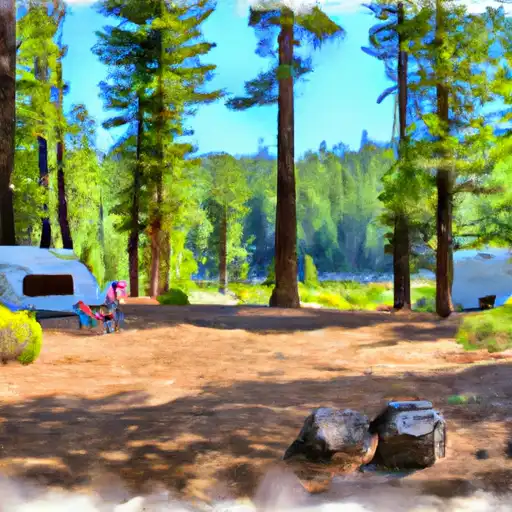 Hedrick Pond - State Forest
 Kings Canyon National Park - Big Stump Entrance
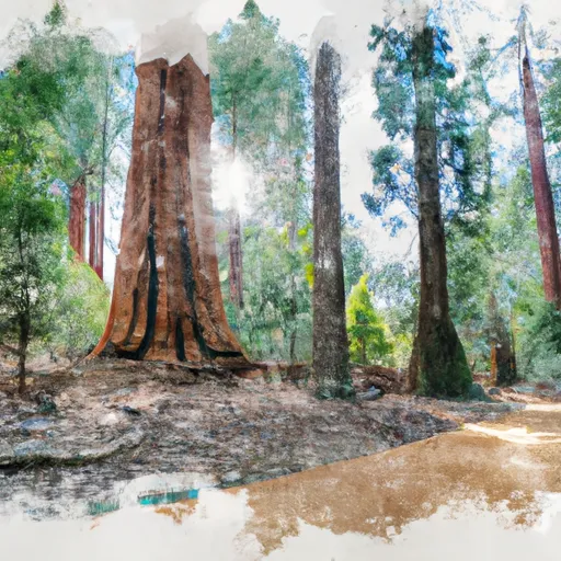 Sequoia National Park
 Mountain Home Demonstration State Forest
 Wilderness Sequoia-Kings Canyon