Summary
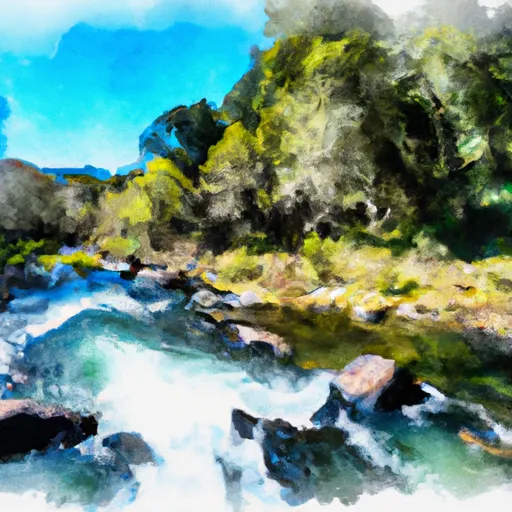
The ideal streamflow range for this run is between 500-1000 cfs. The class rating for this run is Class IV-V, which means it is a challenging and technical run with significant rapids and obstacles.
The segment mileage for this run is approximately 5 miles. Some of the notable rapids and obstacles on this run include the Entrance Rapid, which features a steep drop, tight channel, and boulders. The Corkscrew Rapid is another challenging section with a series of drops and tight turns. The S-Turn Rapid features a long series of drops and a tight, winding channel.
When planning a trip on this run, it is important to note that there are specific regulations in place. The Bureau of Land Management requires all boaters on this section of the river to have a permit, which can be obtained through their website. Additionally, there may be restrictions on the use of motorized vehicles in some areas. It is important to check with the appropriate land management agency before planning a trip.
Overall, the Whitewater River run of Rainey Valley Creek Headwaters to Confluence with Elk Creek is a challenging and exciting adventure for experienced paddlers. It is important to carefully consider streamflow levels, class rating, and specific obstacles before attempting this run.
°F
°F
mph
Wind
%
Humidity
15-Day Weather Outlook
River Run Details
| Last Updated | 2026-02-07 |
| River Levels | 859 cfs (7.1 ft) |
| Percent of Normal | 44% |
| Status | |
| Class Level | iv-v |
| Elevation | ft |
| Streamflow Discharge | cfs |
| Gauge Height | ft |
| Reporting Streamgage | USGS 11519500 |
5-Day Hourly Forecast Detail
Nearby Streamflow Levels
 Scott R Nr Fort Jones Ca
|
490cfs |
 Klamath R Nr Seiad Valley Ca
|
2280cfs |
 Indian C Nr Happy Camp Ca
|
282cfs |
 Salmon R A Somes Bar Ca
|
1150cfs |
 Klamath R A Orleans
|
5210cfs |
 Applegate River Near Copper
|
175cfs |
Area Campgrounds
| Location | Reservations | Toilets |
|---|---|---|
 Big Rock Camp
|
||
 Whisky Camp
|
||
 Ananias Camp
|
||
 Norcross Campground
|
||
 Norcross - horse
|
||
 Lovers Camp - horse
|
River Runs
-
 Rainey Valley Creek Headwaters To Confluence With Elk Creek
-
 Tom'S Valley Creek Headwaters To Confluence With Elk Creek
-
 Granite Creek Headwaters To Confluence With Elk Creek
-
 Burney Valley Creek Headwaters To Confluence With Granite Creek
-
 Elk Creek Headwaters In Marble Mtn. Wilderness To Confluence With Bear Creek
-
 Headwaters In Marble Mtn. Wilderness To Wilderness Boundary


 Canyon Creek River Access
 Gold Granite Lake
 Green Granite Lake
 Calf Lake
 Campbell Lake
 Cliff Lake