Summary
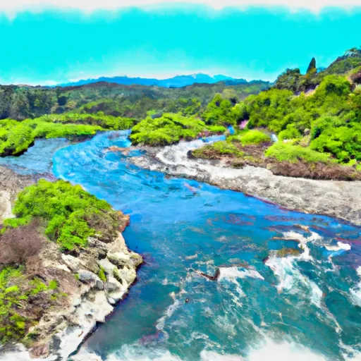
The ideal streamflow range for this run is between 200-500 cfs, although it can be run at higher levels with caution. It is rated as a class III-IV run, with a total segment mileage of approximately 9 miles.
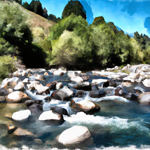
Some of the specific rapids and obstacles on this run include "House Rock," "Boulder Creek," and "The Meatgrinder." It is important to note that this run is considered an advanced run and should only be attempted by experienced paddlers.
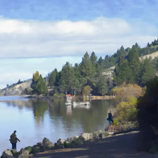
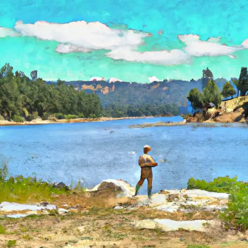
There are specific regulations in place for the Whitewater River run. The Marble Mountain Wilderness requires a permit for overnight camping, and campfires are only allowed in designated areas. Additionally, there are regulations in place for fishing in the river, with specific limits on the size and number of fish that can be caught.
Overall, the Whitewater River run in California offers a challenging and exciting experience for experienced paddlers. It is important to follow all regulations and safety precautions to ensure a safe and enjoyable trip.
°F
°F
mph
Wind
%
Humidity
15-Day Weather Outlook
River Run Details
| Last Updated | 2026-02-07 |
| River Levels | 859 cfs (7.1 ft) |
| Percent of Normal | 44% |
| Status | |
| Class Level | iii-iv |
| Elevation | ft |
| Streamflow Discharge | cfs |
| Gauge Height | ft |
| Reporting Streamgage | USGS 11519500 |
5-Day Hourly Forecast Detail
Nearby Streamflow Levels
 Scott R Nr Fort Jones Ca
|
490cfs |
 Klamath R Nr Seiad Valley Ca
|
2280cfs |
 Indian C Nr Happy Camp Ca
|
282cfs |
 Salmon R A Somes Bar Ca
|
1150cfs |
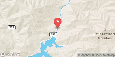 Applegate River Near Copper
|
175cfs |
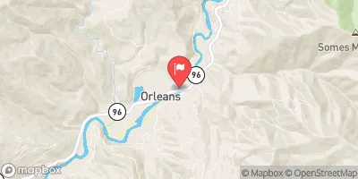 Klamath R A Orleans
|
5210cfs |
Area Campgrounds
| Location | Reservations | Toilets |
|---|---|---|
 Bridge Flat
|
||
 Lovers Camp Campground
|
||
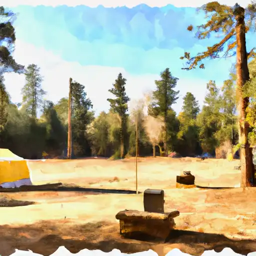 Lovers Camp - horse
|
||
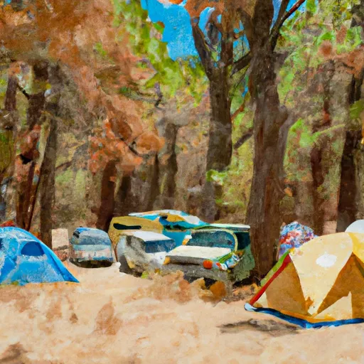 Indian Scotty Campground
|
||
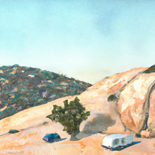 Big Rock Camp
|
||
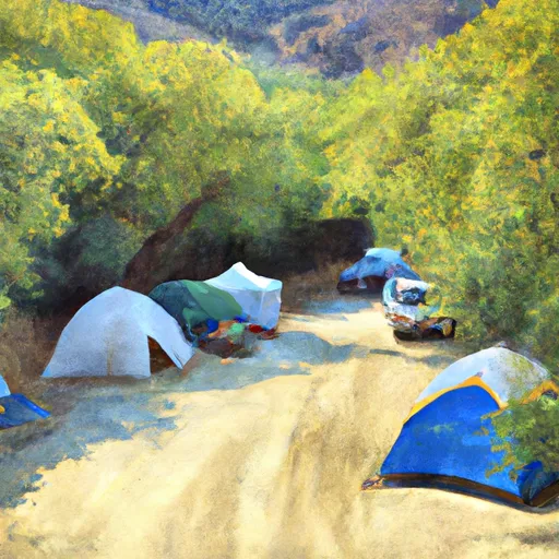 Indian Scotty
|
River Runs
-
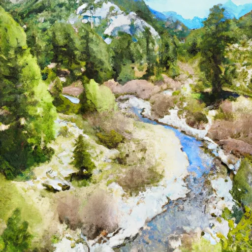 Headwaters In Marble Mtn. Wilderness To Wilderness Boundary
-
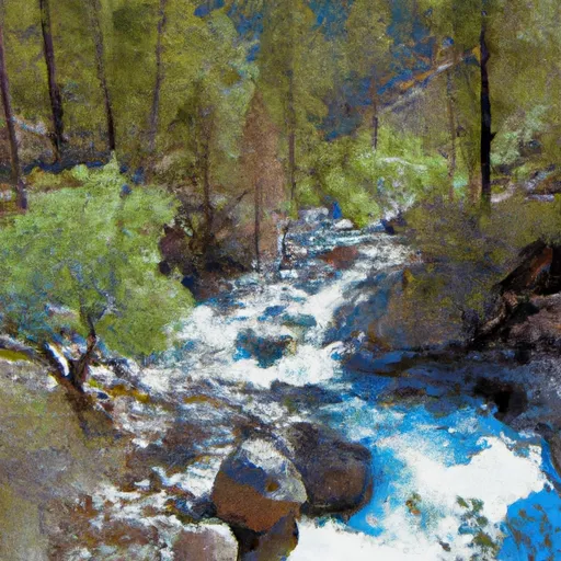 Headwaters In Marble Mtn. Wilderness To Confluence With Fish Creek
-
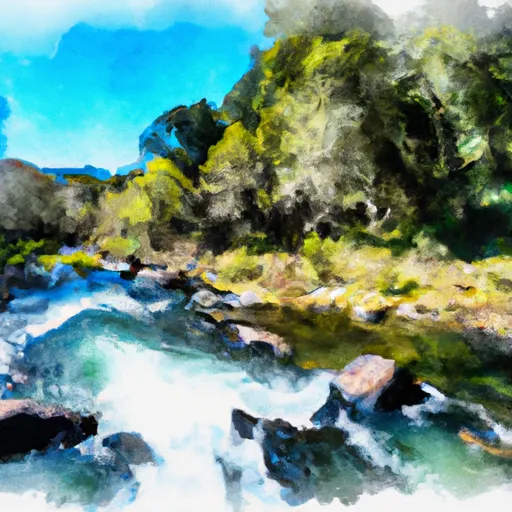 Rainey Valley Creek Headwaters To Confluence With Elk Creek
-
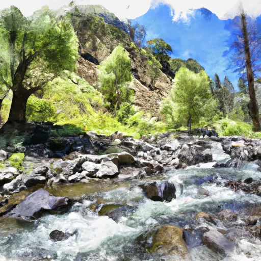 Tom'S Valley Creek Headwaters To Confluence With Elk Creek
-
 Confluence With Fish Creek To Confluence With Rancheria Creek
-
 Granite Creek Headwaters To Confluence With Elk Creek


 Bridge Flat River Access
 Campbell Lake
 Cliff Lake
 Blue Granite Lake
 Gold Granite Lake
 Green Granite Lake