Summary
It is a popular boat ramp that provides access to the Klamath River. This boat ramp is managed by the Bureau of Land Management (BLM) and is open year-round.
The Gold Flat River Access boat ramp is a concrete ramp that is about 12 feet wide. It is suitable for launching small to medium-sized boats and can accommodate multiple boats at once. The ramp is also accompanied by a parking area that can accommodate vehicles with trailers.
The Klamath River is a 257-mile long river that flows through Oregon and California. The Gold Flat River Access boat ramp provides access to a section of the Klamath River that is located in northern California. This section of the river is known for its scenic beauty and is popular among anglers, rafters, and kayakers.
In terms of watercraft, the Gold Flat River Access boat ramp permits a variety of boats, including motorboats, canoes, kayaks, and rafts. However, it is important to note that certain sections of the Klamath River may have specific regulations and restrictions, so it is advisable to check the latest information before heading out.
°F
°F
mph
Wind
%
Humidity
15-Day Weather Outlook
5-Day Hourly Forecast Detail
Area Streamflow Levels
| SCOTT R NR FORT JONES CA | 412cfs |
| KLAMATH R NR SEIAD VALLEY CA | 2080cfs |
| INDIAN C NR HAPPY CAMP CA | 205cfs |
| APPLEGATE RIVER NEAR COPPER | 175cfs |
| SHASTA R NR YREKA CA | 238cfs |
| SHASTA R NR MONTAGUE CA | 219cfs |
River Runs
-
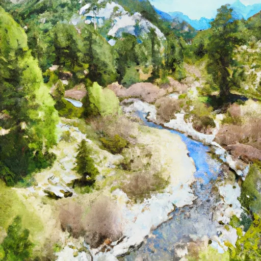 Headwaters In Marble Mtn. Wilderness To Wilderness Boundary
-
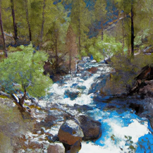 Headwaters In Marble Mtn. Wilderness To Confluence With Fish Creek
-
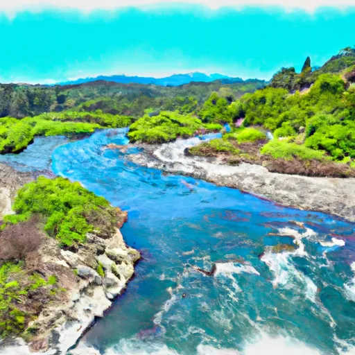 Confluence With Fish Creek To Confluence With Rancheria Creek
-
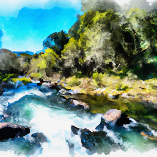 Rainey Valley Creek Headwaters To Confluence With Elk Creek
-
 Tom'S Valley Creek Headwaters To Confluence With Elk Creek
-
 Confluence With Rancheria Creek To Forest Road 46N24X

 Gold Flat River Access