2026-02-21T10:00:00-08:00
* WHAT...Very cold temperatures in the teens to low 20s expected, with isolated areas in the single digits above 7000 feet. * WHERE...West Slope Northern Sierra Nevada and Western Plumas County/Lassen Park. * WHEN...From 10 PM this evening to 10 AM PST Saturday. * IMPACTS...Very cold temperatures can lead to hypothermia and frostbite with prolonged exposure. This will especially impact those without power from the recent storm.
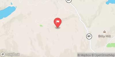
Headwaters Of East Fork Canyon Creek (Sec 13, T21n, R10e) To Confluence With South Fork Canyon Creek Paddle Report
Last Updated: 2026-02-07
The whitewater river run from Headwaters of East Fork Canyon Creek (Sec 13, T21N, R10E) to Confluence with South Fork Canyon Creek in California is a popular destination for experienced paddlers.
Summary
The ideal streamflow range for this segment is between 500-1500 cfs, and the class rating is a challenging Class IV-V. The total segment mileage is approximately 8.5 miles, with rapids and obstacles that include "Steep Chutes," "Box Canyon," "S-Turn Rapid," and "Triple Threat."
It is important to note that this river run is not recommended for beginners, and all paddlers should have experience with Class III-IV rapids. Additionally, there are specific regulations to the area, including a requirement for all boaters to have a valid California Boater Card, a personal flotation device (PFD), and a helmet. Overnight camping is not allowed in the river corridor, and fires are prohibited.
Sources for this information include American Whitewater and the Bureau of Land Management. It is important to check current conditions and flow levels before attempting this run, and as with all outdoor activities, to practice safety and respect for the environment.
°F
°F
mph
Wind
%
Humidity
15-Day Weather Outlook
River Run Details
| Last Updated | 2026-02-07 |
| River Levels | 2740 cfs (7.21 ft) |
| Percent of Normal | 75% |
| Status | |
| Class Level | iv-v |
| Elevation | ft |
| Streamflow Discharge | cfs |
| Gauge Height | ft |
| Reporting Streamgage | USGS 11413000 |
5-Day Hourly Forecast Detail
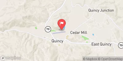
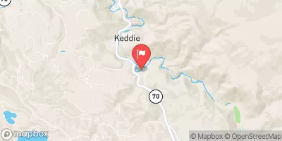
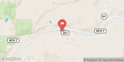
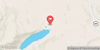
Nearby Streamflow Levels
Area Campgrounds
| Location | Reservations | Toilets |
|---|---|---|
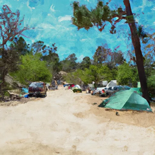 Ross Campground
|
||
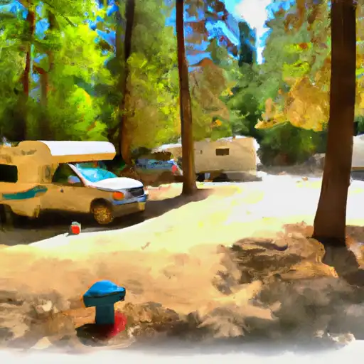 Plumas - Eureka State Park
|
||
 Lakes Basin Group Campground
|
||
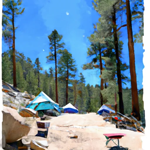 Lakes Basin Campground
|
||
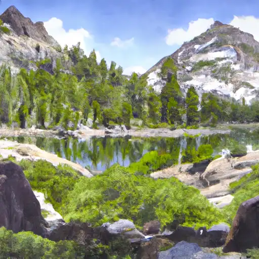 Lakes Basin .
|
||
 Little Beaver Campground
|
River Runs
-
 Headwaters Of East Fork Canyon Creek (Sec 13, T21N, R10E) To Confluence With South Fork Canyon Creek
-
 Headwaters Of North Fork Canyon Creek (Sec 6, T21N, R11E) To Confluence With East Fork Canyon Creek
-
 Headwaters At West Branch Canyon Creek (Sec 26, T22N, R10E) To Confluence With Canyon Creek
-
 Headwaters To State Park
-
 Little Jamison Creek Headwaters To State Park
-
 East Branch Nelson Creek Headwaters To Confluence With Nelson Creek


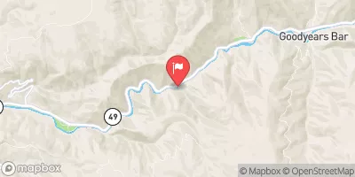
 Salmon Lake Road 1500, Sierra City