Summary
The ideal streamflow range for this run is between 500 and 1500 cubic feet per second (cfs).
This run is rated as a class III-IV, which means it has moderate to difficult rapids with high waves, narrow passages, and rocks that require precise maneuvering. The segment mileage of this run is approximately 6 miles.
Some of the specific rapids and obstacles to look out for include "Toilet Bowl," "Pin Ball," "Two-Hole," and "The Funnel." These rapids offer an exhilarating and challenging experience for seasoned whitewater rafters and kayakers.
There are specific regulations that must be followed when accessing and using this area. A permit is required to access the Bluff Lake put-in, and it is recommended to check the weather and water levels before embarking on the run. Additionally, it is important to follow Leave No Trace principles and to respect the natural environment and wildlife in the area.
Overall, the Whitewater River Run from Bluff Lake to Confluence with Bear Creek offers a thrilling and exciting whitewater experience for those who are up for the challenge. It is important to be prepared and follow regulations to ensure a safe and enjoyable trip.
°F
°F
mph
Wind
%
Humidity
15-Day Weather Outlook
River Run Details
| Last Updated | 2026-02-07 |
| River Levels | 69 cfs (7.58 ft) |
| Percent of Normal | 121% |
| Status | |
| Class Level | iii-iv |
| Elevation | ft |
| Streamflow Discharge | cfs |
| Gauge Height | ft |
| Reporting Streamgage | USGS 11051499 |
5-Day Hourly Forecast Detail
Nearby Streamflow Levels
Area Campgrounds
| Location | Reservations | Toilets |
|---|---|---|
 Yellow Post #29
|
||
 Yellow Post #28
|
||
 Bluff Mesa Group Campground
|
||
 Yellow Post #27
|
||
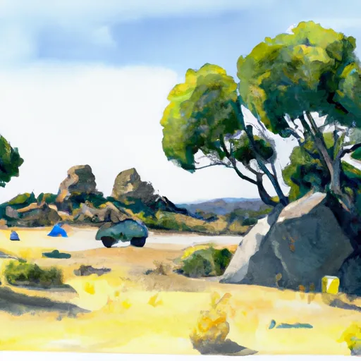 Yellow Post #30
|
||
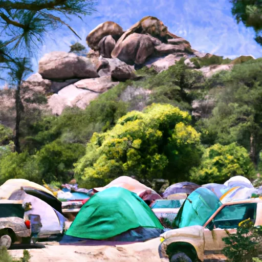 Boulder Group Campground
|


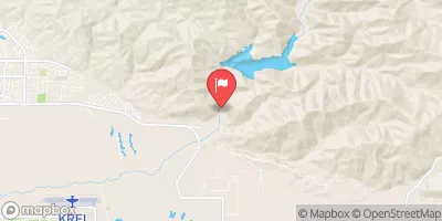
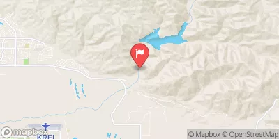
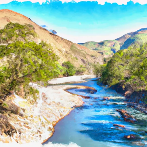 Bluff Lake To Confluence With Bear Creek
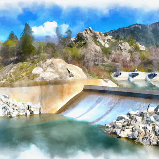 Big Bear Dam To Private Land In Sec 19, T1N, R1W
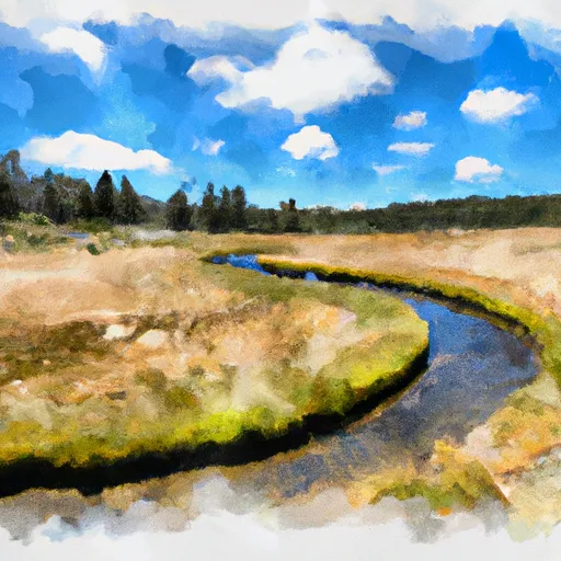 Big Meadows To Filaree Flat
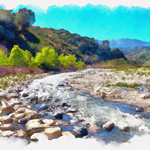 Filaree Flat To Confluence With Bear Creek
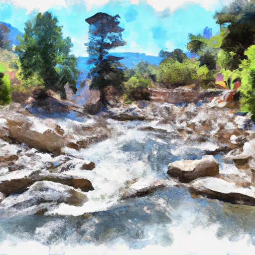 Nfsr 3N16 To Confluence With Deep Creek
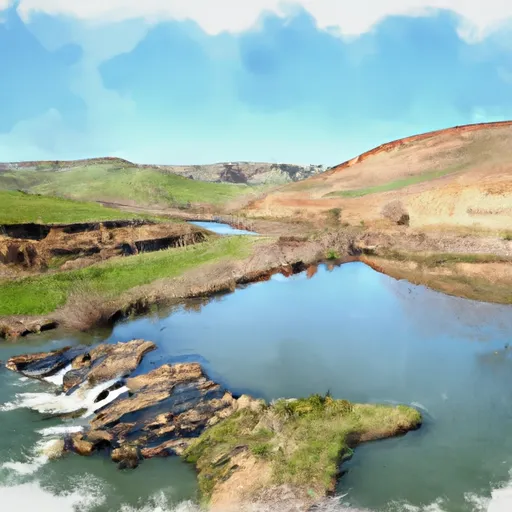 Hitchcock Ranch Impoundment To Nfsr 3N16
 Dana Point Park
 Meadows Edge Park
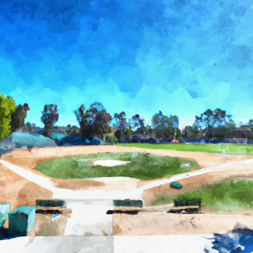 Arrowbear Park Ball Field
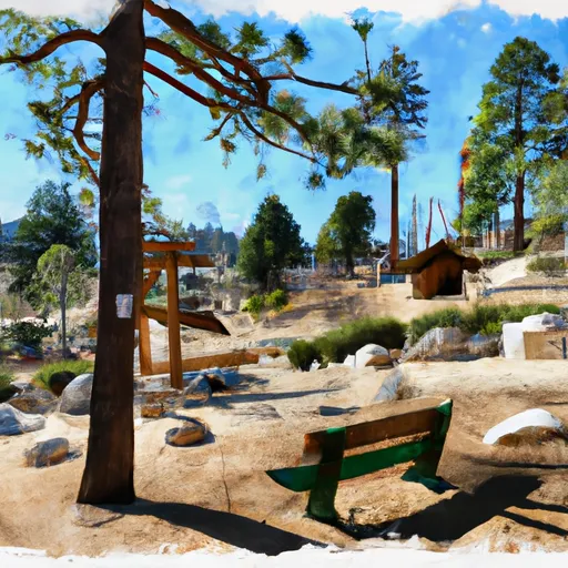 Big Bear City Park
 Sugarloaf Park
 Holcomb Creek
 Arrowbear Lake
 Green Valley Lake
 Santa Ana River
 Santa Ana River - South Fork