2026-02-20T07:00:00-08:00
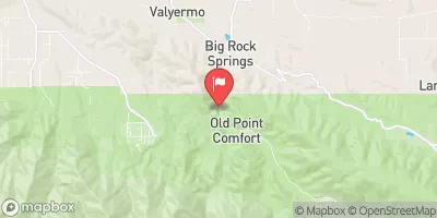
* WHAT...Heavy snow possible. Total snow accumulations of up to 4 inches between 3500 and 4500 feet, 6 to 12 inches for 4500 to 6000 feet, and 1 to 2 feet above 6000 feet. Wind gusts of up to 60 to 70 mph possible this afternoon through late tonight, and again late Wednesday night into Thursday morning. * WHERE...Eastern San Gabriel Mountains and Northern Ventura County Mountains. * WHEN...Until 7 AM PST Friday. * IMPACTS...Roads, especially bridges and overpasses, will likely become slick and hazardous. Travel could become treacherous. Visibilities may drop below one-quarter mile due to falling and blowing snow. Damaging winds could blow down trees and power lines.
Mainstream - Confluence With Cooper Canyon To Confluence Wit South Fork Little Rock Creek Paddle Report
Last Updated: 2026-02-07
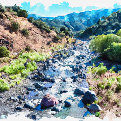
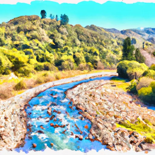
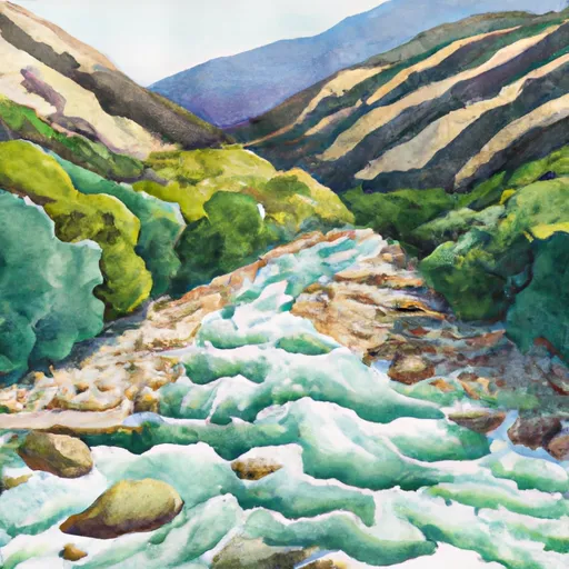
The whitewater river run from Mainstream to Confluence with Cooper Canyon and then to Confluence with South Fork Little Rock Creek in California is a popular destination for outdoor enthusiasts.
Summary
The ideal streamflow range for this run is between 200-400 cfs, which typically occurs during the spring snowmelt or after heavy rainfall.
This section of the river has been given a Class III-IV rating, making it best suited for intermediate to advanced paddlers. The total segment mileage for this run is approximately 8.5 miles. Along the route, paddlers will encounter several notable rapids and obstacles, including Pinball, Squeeze, and S-Turn, which require technical maneuvering and careful navigation.
Specific regulations to the area include the requirement for all paddlers to wear personal flotation devices and helmets while on the river. Additionally, camping and fires are only permitted in designated areas, and visitors are expected to follow Leave No Trace principles and pack out all trash. Local outfitters offer guided tours and equipment rentals, and it is recommended that paddlers have experience and proper gear before attempting this challenging whitewater run.
°F
°F
mph
Wind
%
Humidity
15-Day Weather Outlook
River Run Details
| Last Updated | 2026-02-07 |
| River Levels | 54 cfs (1.85 ft) |
| Percent of Normal | 210% |
| Status | |
| Class Level | iii-iv |
| Elevation | ft |
| Streamflow Discharge | cfs |
| Gauge Height | ft |
| Reporting Streamgage | USGS 10263500 |
5-Day Hourly Forecast Detail
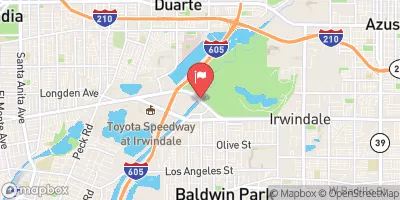
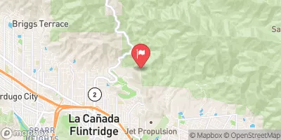
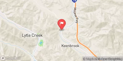
Nearby Streamflow Levels
Area Campgrounds
| Location | Reservations | Toilets |
|---|---|---|
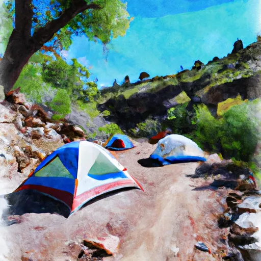 Cooper Canyon Trail Camp
|
||
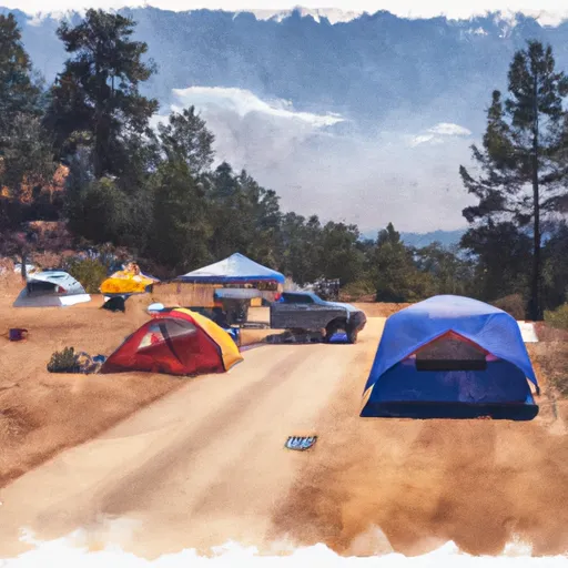 Deer Flat Group Campground
|
||
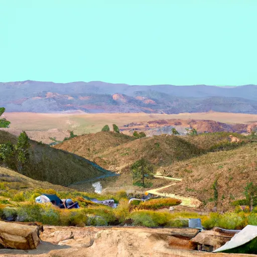 Deer Spring
|
||
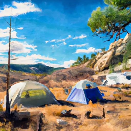 Little Jimmy Campground
|
||
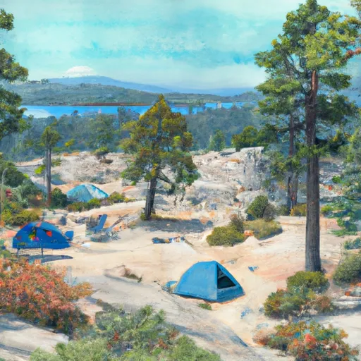 Little Jimmy
|
||
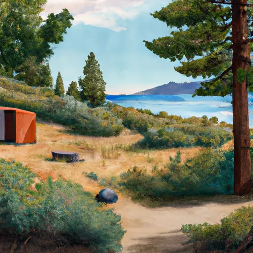 Crystal Lake Rec Area
|
River Runs
-
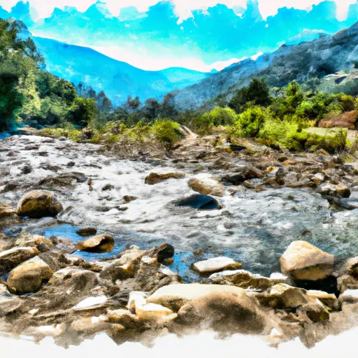 Mainstream - Confluence With Cooper Canyon To Confluence Wit South Fork Little Rock Creek
-
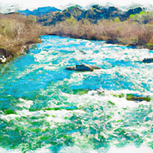 Cooper Canyon- Near State Highway 2 (Sw 1/4, Ne 1/4, Sec 16, T3N, R10W To Confluence With Little Rock Creek
-
 Mainstream - Headwaters To Confluence With Cooper Canyon
-
 Mainstream - Confluence With South Fork Little Rock Creek To Little Rock Creek Reservoir
-
 North Fork - Confluence Of Soldier And Coldbrook Creeks (Se1/4,Sw1/4, Sec) 5, T2N,,R9W To Conflluence With West Fork Of San Gabriel (Sw 1/4,Sw1/4, Sec 17, T2N, R8W)
-
 Gaging Station Below Spillway Of Cogswell Dam (Ne 1/4, Se 1/4, Sec 19, T2N, R10W) To Confluence With Nf San Gabriel River (Sw 1/4.Sw 1/4, Sec 15, T2N, R9W)




 Devils Punchbowl Park
 Wilderness San Gabriel
 Pearblossom Park
 Everett Martin Park