Summary
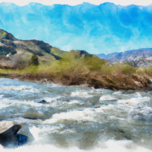
The ideal streamflow range for this section of the river is between 500-1500 cfs, providing a thrilling ride through Class III-IV rapids. The segment mileage is approximately 9 miles, taking around 4-6 hours to complete.
One of the most notable rapids on this run is the infamous "Meatgrinder," a Class IV drop that requires precise maneuvering. Other obstacles include "Cresta" and "Outback," both Class III rapids that offer fun waves and holes to play in.
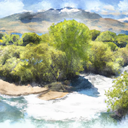
There are specific regulations in place for this area, including a required permit for commercial outfitters and restrictions on certain sections of the river during spawning season for salmon and steelhead. It is important for all visitors to follow Leave No Trace principles and pack out all trash to preserve the natural beauty of the area.
°F
°F
mph
Wind
%
Humidity
15-Day Weather Outlook
River Run Details
| Last Updated | 2026-02-07 |
| River Levels | 299 cfs (1.43 ft) |
| Percent of Normal | 44% |
| Status | |
| Class Level | iii-iv |
| Elevation | ft |
| Streamflow Discharge | cfs |
| Gauge Height | ft |
| Reporting Streamgage | USGS 11390000 |
5-Day Hourly Forecast Detail
Nearby Streamflow Levels
 Butte C Nr Chico Ca
|
612cfs |
 N Yuba R Bl Goodyears Bar Ca
|
480cfs |
 Spanish C A Quincy Ca
|
108cfs |
 Deer C Nr Vina Ca
|
490cfs |
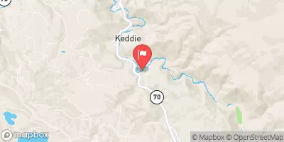 Spanish C Ab Blackhawk C At Keddie Ca
|
202cfs |
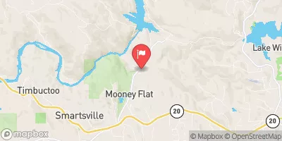 Deer C Nr Smartville Ca
|
301cfs |
Area Campgrounds
| Location | Reservations | Toilets |
|---|---|---|
 Limesaddle - Lake Oroville State Rec Area
|
||
 Rogers Cow Camp (Family )
|
||
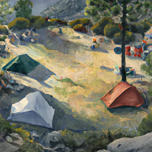 Rogers Cow Camp
|
||
 Milsap Bar
|
||
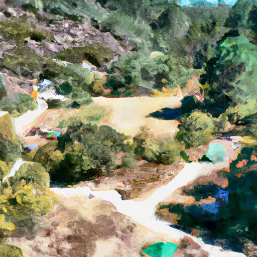 Milsap Bar Campground
|
||
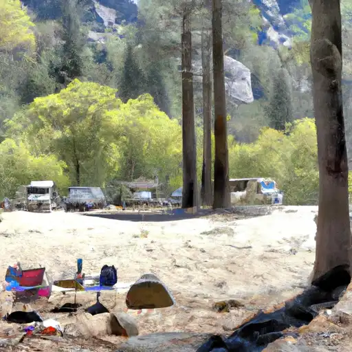 Feather Falls
|


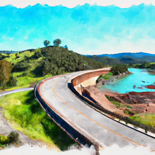 Highway 70 Crossing To Lake Oroville
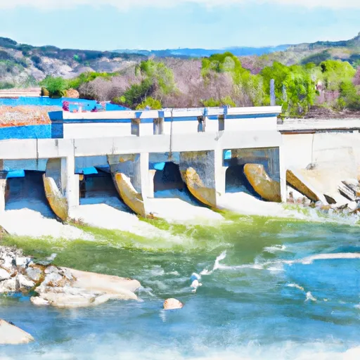 Poe Dam To Highway 70 Crossing
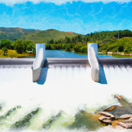 Cresta Dam To Poe Reservoir (Camp Creek)
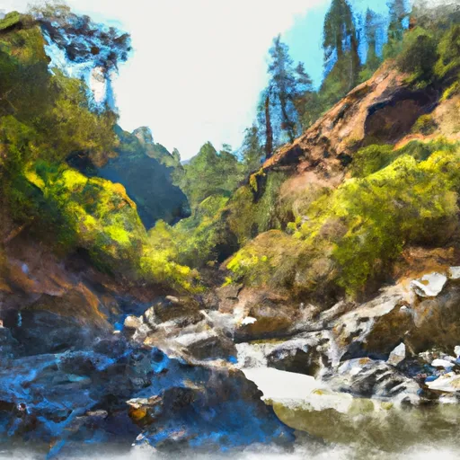 Bear Gulch To Confluence With Middle Fork Feather Wsr
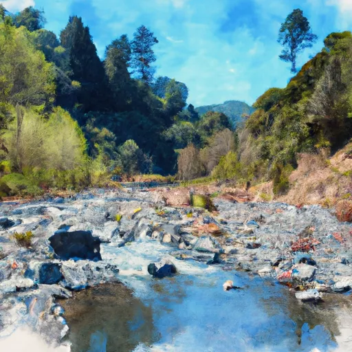 Headwaters To Bear Gulch
 Nelsons Crossing To Confluence With Middle Fork Feather Wsr
 Moore Road Park
 Aquatic Park
 Paradise Community Park
 National Wild and Scenic River Feather, California