Summary
The ideal streamflow range for this run is between 500 and 1,200 cfs, providing Class III and IV rapids. The segment mileage for this section is approximately 9 miles, with plenty of obstacles and rapids to keep adrenaline pumping.
Some of the notable rapids on this run include the "Yagi Rapid," "Devil's Elbow Rapid," and "The Chute." There are also several challenging drops and boulder gardens along the way. Paddlers should be prepared for technical maneuvers, including tight turns and narrow channels.
Specific regulations to the area include a limit of 25 people per group, with all participants required to wear a life jacket. The use of alcohol and drugs is strictly prohibited, and all trash must be carried out. Additionally, visitors should be aware of potential hazards, such as strainers and undercut rocks.
In summary, the Whitewater River Run from Poe Dam to Highway 70 Crossing offers an exciting and challenging adventure for experienced whitewater paddlers. With specific regulations in place, visitors can enjoy the natural beauty of the area while also ensuring its protection for future generations.
°F
°F
mph
Wind
%
Humidity
15-Day Weather Outlook
River Run Details
| Last Updated | 2026-02-07 |
| River Levels | 299 cfs (1.43 ft) |
| Percent of Normal | 44% |
| Status | |
| Class Level | iii |
| Elevation | ft |
| Streamflow Discharge | cfs |
| Gauge Height | ft |
| Reporting Streamgage | USGS 11390000 |
5-Day Hourly Forecast Detail
Nearby Streamflow Levels
 Butte C Nr Chico Ca
|
612cfs |
 Spanish C A Quincy Ca
|
108cfs |
 Spanish C Ab Blackhawk C At Keddie Ca
|
202cfs |
 Deer C Nr Vina Ca
|
490cfs |
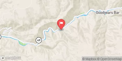 N Yuba R Bl Goodyears Bar Ca
|
480cfs |
 Mill C Nr Los Molinos Ca
|
460cfs |
Area Campgrounds
| Location | Reservations | Toilets |
|---|---|---|
 Rogers Cow Camp (Family )
|
||
 Rogers Cow Camp
|
||
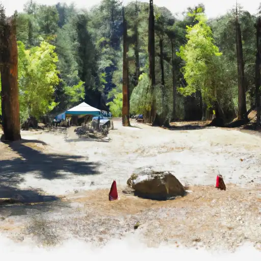 Little North Fork
|
||
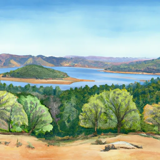 Limesaddle - Lake Oroville State Rec Area
|
||
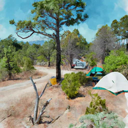 Little North Fork Campground
|
||
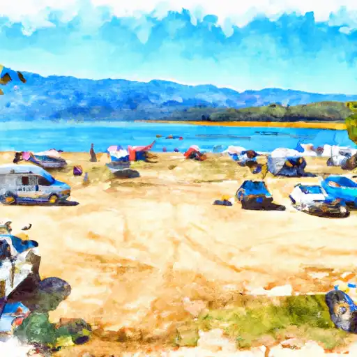 Milsap Bar
|


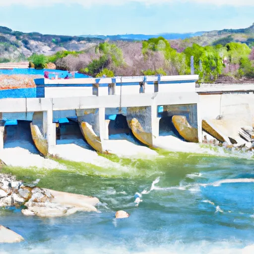 Poe Dam To Highway 70 Crossing
 Cresta Dam To Poe Reservoir (Camp Creek)
 Highway 70 Crossing To Lake Oroville
 Rock Creek Dam To Cresta Reservoir
 Headwaters To Bear Gulch
 Bear Gulch To Confluence With Middle Fork Feather Wsr
 Moore Road Park
 Aquatic Park
 Paradise Community Park