Summary
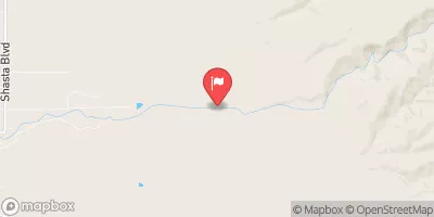
This segment is approximately 5 miles long and is rated as class IV-V. The ideal streamflow range for this run is between 400-800 cfs.
There are a variety of rapids and obstacles on this run, including Tight Squeeze, Deadwood Falls, and Tunnel Chute. Tight Squeeze is a narrow channel that requires precise maneuvering, while Deadwood Falls is a series of drops that require solid boating skills. Tunnel Chute is a unique feature of this run, as it involves paddling through a narrow tunnel and then dropping down a steep chute. It is important to note that this run is very technical and should only be attempted by experienced paddlers.
There are specific regulations in place for this area, including a permit system for private boaters and a seasonal closure from April 1st to July 1st to protect spawning fish. It is also important to practice Leave No Trace principles and to respect the natural surroundings.
°F
°F
mph
Wind
%
Humidity
15-Day Weather Outlook
River Run Details
| Last Updated | 2026-02-07 |
| River Levels | 299 cfs (1.43 ft) |
| Percent of Normal | 44% |
| Status | |
| Class Level | iv-v |
| Elevation | ft |
| Streamflow Discharge | cfs |
| Gauge Height | ft |
| Reporting Streamgage | USGS 11390000 |
5-Day Hourly Forecast Detail
Nearby Streamflow Levels
 Butte C Nr Chico Ca
|
612cfs |
 Spanish C A Quincy Ca
|
108cfs |
 Spanish C Ab Blackhawk C At Keddie Ca
|
202cfs |
 Deer C Nr Vina Ca
|
490cfs |
 N Yuba R Bl Goodyears Bar Ca
|
480cfs |
 Mill C Nr Los Molinos Ca
|
460cfs |
Area Campgrounds
| Location | Reservations | Toilets |
|---|---|---|
 Rogers Cow Camp (Family )
|
||
 Rogers Cow Camp
|
||
 Little North Fork
|
||
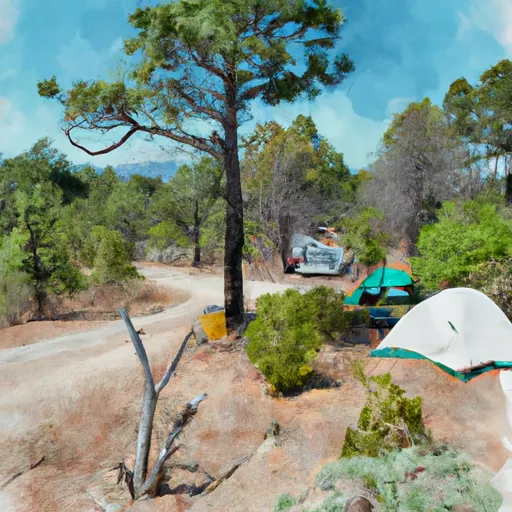 Little North Fork Campground
|
||
 Milsap Bar
|
||
 Milsap Bar Campground
|


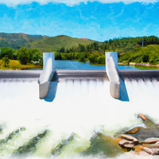 Cresta Dam To Poe Reservoir (Camp Creek)
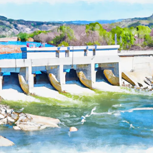 Poe Dam To Highway 70 Crossing
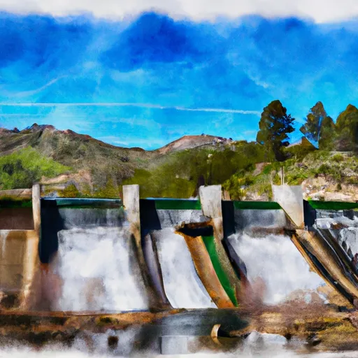 Rock Creek Dam To Cresta Reservoir
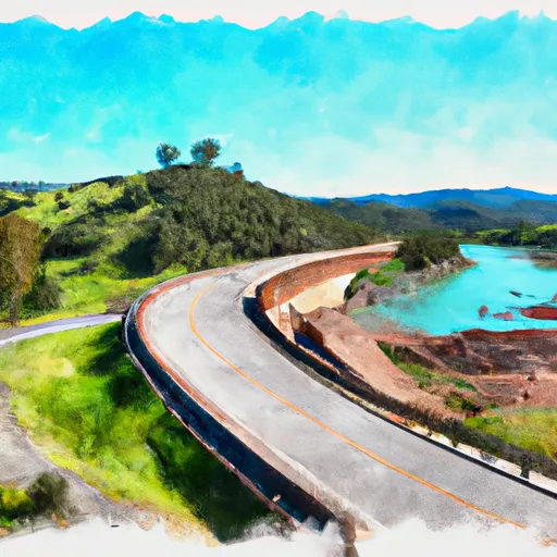 Highway 70 Crossing To Lake Oroville
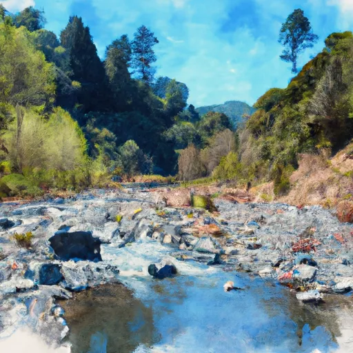 Headwaters To Bear Gulch
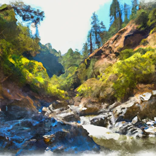 Bear Gulch To Confluence With Middle Fork Feather Wsr
 Moore Road Park
 Aquatic Park
 Paradise Community Park