Summary
Regional Streamflow Levels
15-Day Long Term Forecast
River Run Details
| Last Updated | |
| River Levels | cfs ( ft) |
| Percent of Normal | +100% |
| Status | |
| Class Level | III to III+ |
| Elevation | ft |
| Run Length | 8.0 Mi |
| Gradient | 23 FPM |
| Streamflow Discharge | cfs |
| Gauge Height | ft |
| Reporting Streamgage | USGS |


 Mother Lode River Center
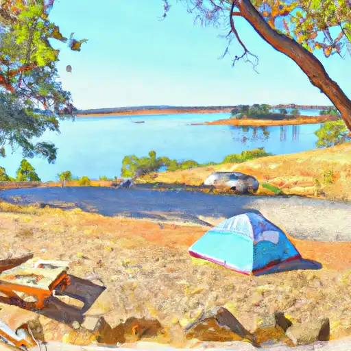 Peninsula - Folsom Lake State Rec Area
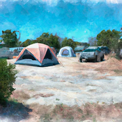 Georgetown Airport Campground
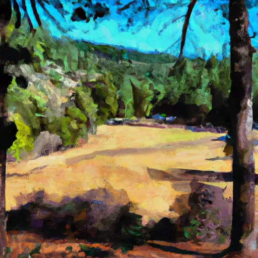 Rucky A Chucky - Auburn State Rec Area
 Folsom Lake Peninsula Campground
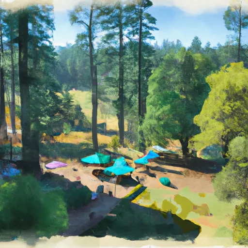 KOA Placerville
 River Trail El Dorado County
 The Gorge
 Coloma to Greenwood - (C to G)
 Chili Bar
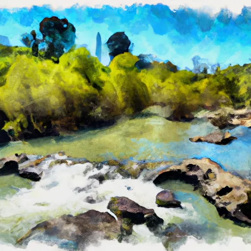 South Fork American River
 Greenwood to Mammoth Bar
 Yankee Jim Road to Ponderosa Way (Shirttail)
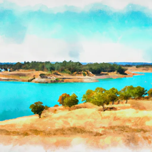 Folsom Lake State Recreation Area
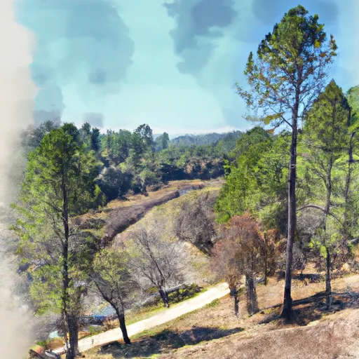 Auburn State Recreation Area
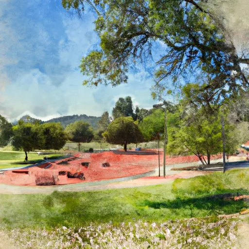 Auburn Recreation Park
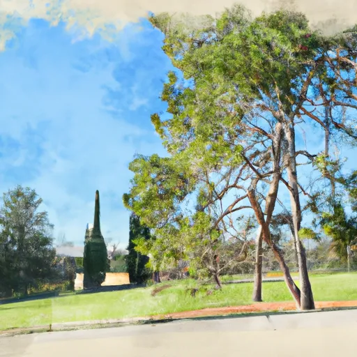 Ashford Park
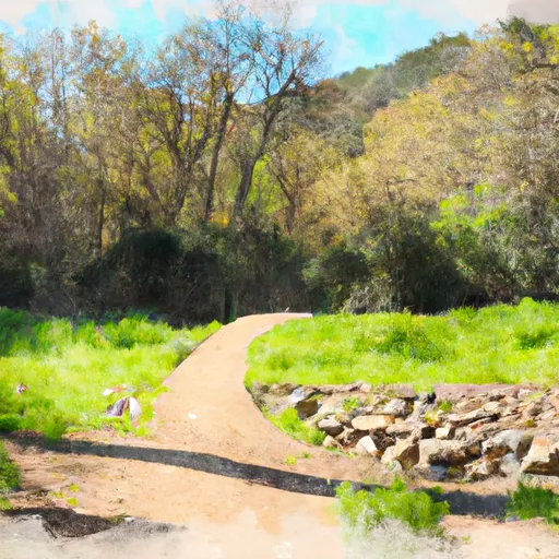 Auburn Ravine Trail Park
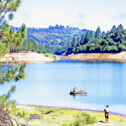 Lake Clementine
 PG&E Rock Creek Lake Fishing Access
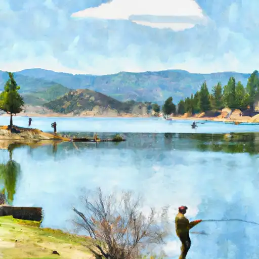 Lake Combie
 Lake of the Pines
 Natoma Lake
 Continue with Snoflo Premium