Make an Announcement

Communicate warnings, disperse advice, and share.


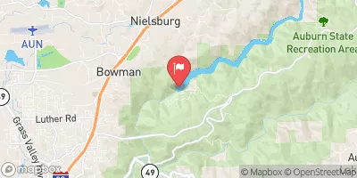
COLOMA TO GREENWOOD - (C TO G)

Whitewater River Run


California American River, South Fork

Coloma To Greenwood - (C To G)

Class II TO III-

STREAMFLOW: 2,630 CFS

Runnable
77°, Sunny Then Slight Chance T-Storms

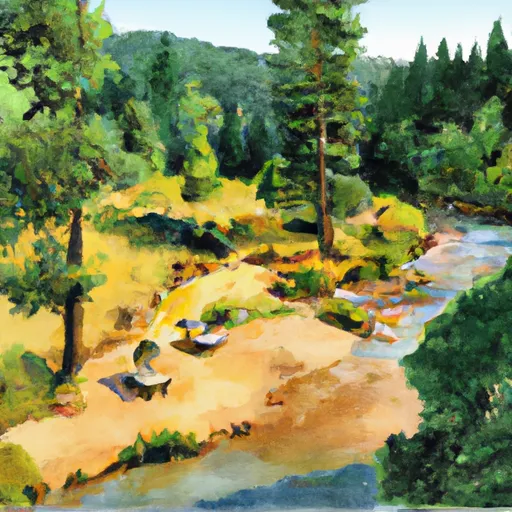
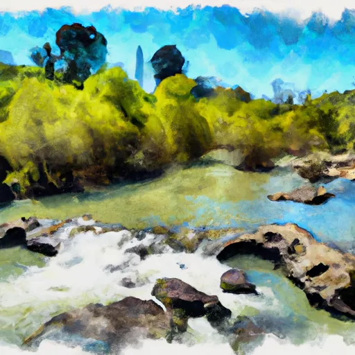
The Coloma to Greenwood C to G river run in California is a class III-IV river run that is best navigated in the spring or early summer months when water levels are highest. This section of the river is known for its technical rapids, including "Troublemaker" and "Satan's Cesspool." Other obstacles include numerous rocks, drops, and narrow channels. The recommended flow for this section of the river is between 800 and 1,200 cubic feet per second (cfs). This run is not recommended for beginners, and a guide is highly recommended for those who are not experienced on this type of river.

Weather today, A 20 percent chance of showers and thunderstorms after 2pm. Sunny, with a high near 77. Calm wind becoming south southwest 5 to 9 mph in the morning.

Status Runnable
Class Level II to III-
Elevation 717 ft
Run Length 5.0 Mi
Gradient 17 FPM
Streamflow Discharge 2630 cfs
Gauge Height 2.8 ft
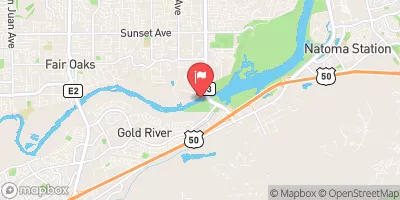
Reporting Streamgage Nf American R A North Fork Dam Ca
USGS 11427000

Nearby Snowpack and Streamflow Levels

Gauge Streamflow Stage
Sutter Slough A Courtland Ca
USGS 11447830
9,400 cfs 10.2 ft
Sacramento R Ab Delta Cross Channel Ca
USGS 11447890
23,700 cfs 8.8 ft
Steamboat Slough Nr Walnut Grove Ca
USGS 11447850
8,900 cfs 8.7 ft
Mokelumne R A Andrus Island Nr Terminous Ca
USGS 11336930
649 cfs 17.8 ft
S Mokelumne R A New Hope Br Nr Walnut Grove Ca
USGS 11336680
1,100 cfs ft
Old R A Quimby Island Nr Bethel Island Ca
USGS 11313434
6,670 cfs 7.2 ft
Sacramento R Bl Georgiana Slough Ca
USGS 11447905
17,500 cfs 8.4 ft
Georgiana Slough Nr Sacramento R
USGS 11447903
7,670 cfs 8.4 ft
N Mokelumne Nr Walnut Grove Ca
USGS 11336685
16,600 cfs 25.6 ft
Little Potato Slough A Terminous Ca
USGS 11336790
7 cfs 19.0 ft
Snotel Site Snowpack 24hr Change
Independence Camp
SNOTEL 539
5" -3"
Independence Lake
SNOTEL 541
115" -2"
Css Lab
SNOTEL 428
53" 0"

Popular Destinations

Campground Campsites Reservations Toilets Showers Elevation
Finnon Lake 14 2,427 ft
Nevada County Fairgrounds None 2,455 ft
Dru Barner 47 3,237 ft
Rucky A Chucky - Auburn State Rec Area 5 723 ft
Big Reservoir 19 4,161 ft
Bear River County Park 23 1,749 ft
Peninsula - Folsom Lake State Rec Area 100 792 ft
Giant Gap 35 3,686 ft
Shirttail 30 3,943 ft
Mineral Bar - Auburn State Rec Area 18 1,167 ft
Ski Area Snowpack Air Temperature 5 Day Forecast
River Run Streamflow Length Class
Coloma to Greenwood - (C to G) 2630.0cfs 5.0 Mi II to III-
Yankee Jim Road to Ponderosa Way (Shirttail) 2630.0cfs 5.0 Mi II to III
Greenwood to Mammoth Bar 2630.0cfs 7.0 Mi II to II+
Sunrise Avenue to Watt Avenue 15500.0cfs 11.0 Mi II- to II
Tunnel Run (Ralston Powerhouse to Greenwood) 2630.0cfs 16.5 Mi IV- to IV
Chili Bar 2630.0cfs 8.0 Mi III to IV
Generation and Giant Gaps (Tadpole to Colfax-Iowa Hill Road) 2630.0cfs 26.8 Mi IV to IV+

Log Your Visit

When was your last visit to Coloma to Greenwood - (C to G)?

Add a Photo

How was it? How were conditions?

Rate the paddle


Submit

Leave A Review

Coloma To Greenwood - (C To G)

Submit

Upload an Image

Coloma To Greenwood - (C To G)
Login

Need an Account?

Forgot Your Password?

Delete User Account

Welcome to Snoflo


Continue with a free account

Already Have an Account?


Snoflo Premium

Your first week's free. Cancel anytime

Have a Promo Code?


Already Have an Account?

Signup for Basic Access


Welcome to Snoflo


Continue with a free account

Add Snoflo Premium


Already Have an Account?


Please Verify Your Account

Favorite Limit Reached
Signup for a Free Account

Already Have an Account?