Summary
The ideal streamflow range for this run is between 1,000-2,500 cfs. This range provides the best balance of speed and control needed to navigate the challenging rapids that range in class from II-IV. The segment mileage for this run is approximately 8 miles.
The specific river rapids/obstacles that you will encounter on this run are numerous, and can be quite challenging. Some of the more notable rapids include Clarno Rapid, which is a class III-IV rapid that requires careful navigation to avoid large holes and rocks. Other notable rapids include the Pumphouse Rapid, which is a fast-moving class II rapid, and the Smith Creek Rapid, a technical class IV rapid that requires precise maneuvering to avoid the numerous rocks and drops.
In terms of specific regulations, it is important to note that this run is not recommended for inexperienced whitewater enthusiasts. Additionally, all boaters are required to wear personal flotation devices (PFDs) at all times while on the river. Finally, it is important to note that all boaters should be aware of the potential for flash flooding and other weather-related hazards, as these can significantly impact the conditions on the river.
°F
°F
mph
Wind
%
Humidity
15-Day Weather Outlook
River Run Details
| Last Updated | 2026-02-07 |
| River Levels | 1710 cfs (4.43 ft) |
| Percent of Normal | 65% |
| Status | |
| Class Level | iii-iv |
| Elevation | ft |
| Streamflow Discharge | cfs |
| Gauge Height | ft |
| Reporting Streamgage | USGS 13127000 |


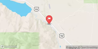
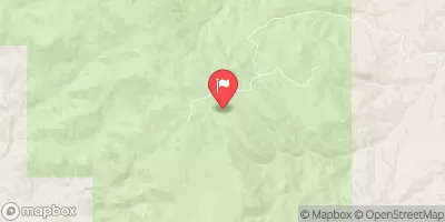
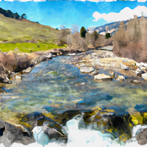 Headwaters To Confluence With West Fork
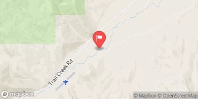
 Confluence Of East And West Forks To Nf Boundary
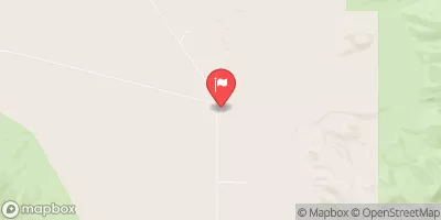
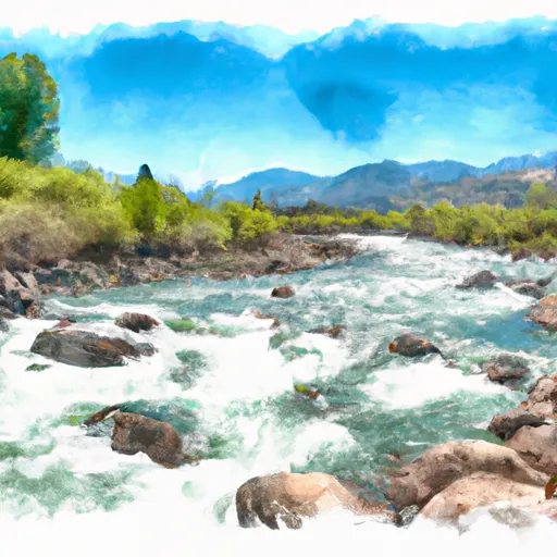 Pahsimeroi River
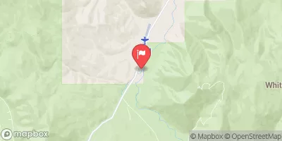
 Mahogany Creek
 Dry Creek