Summary
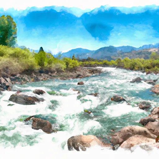
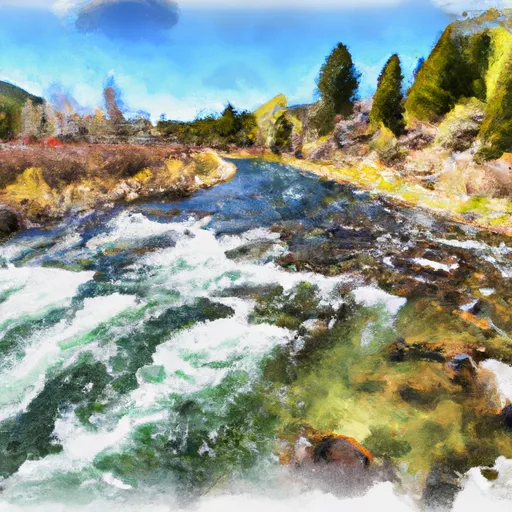
The ideal streamflow range for the Pahsimeroi River is between 500 and 3,000 cubic feet per second (cfs). This range provides enough water flow for an enjoyable and exciting whitewater experience, while remaining safe for even intermediate level rafters.
The Pahsimeroi River has a class rating of III-IV, with some sections reaching class V during high water flows. The segment mileage of the river run is approximately 17 miles long, taking rafters through a variety of exciting rapids and obstacles.
Some specific rapids and obstacles on the Pahsimeroi River include the Class IV+ Boulder Garden, Class V Lower Grouse Creek Falls, and the Class IV Pahsimeroi Wall. These challenging rapids require skilled maneuvering and attention to detail, but with a knowledgeable guide and proper equipment, they can be navigated safely.
Regulations in the area require all boaters to carry proper navigation equipment and personal flotation devices. Additionally, permits are required for commercial outfitters running trips on the Pahsimeroi River. These regulations help ensure the safety of all rafters and preserve the natural beauty of the river and surrounding wilderness.
Overall, the Pahsimeroi River is a thrilling whitewater run that offers challenging rapids and stunning scenery. With proper preparation and guidance, rafters of intermediate to advanced skill levels can safely enjoy the adventure of this Idaho gem.
°F
°F
mph
Wind
%
Humidity
15-Day Weather Outlook
River Run Details
| Last Updated | 2025-06-28 |
| River Levels | 1710 cfs (4.43 ft) |
| Percent of Normal | 57% |
| Status | |
| Class Level | v-iv+ |
| Elevation | ft |
| Streamflow Discharge | cfs |
| Gauge Height | ft |
| Reporting Streamgage | USGS 13127000 |


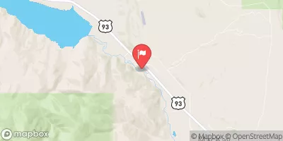
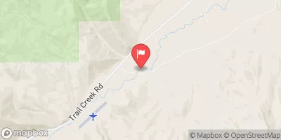
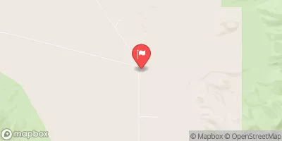
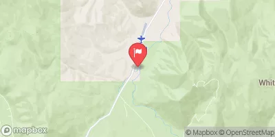
 Pahsimeroi River
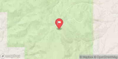
 Confluence Of East And West Forks To Nf Boundary
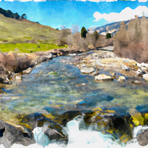 Headwaters To Confluence With West Fork
 Mahogany Creek
 Dry Creek