Summary
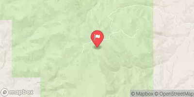
Mahogany Creek is a popular whitewater river run in Idaho that stretches for approximately 5.5 miles from the Mahogany Creek trailhead to the Lochsa River. The ideal streamflow range for this river run is between 2,000 and 6,000 cubic feet per second (cfs), with the peak season being from May to June. Class ratings range from class III to class IV, with some sections of the river featuring technical rapids and obstacles such as boulder gardens, drops, and ledges.
Some of the notable rapids and obstacles on Mahogany Creek include the Entrance Rapid, Z Rapid, the Maze, and the S-Turn. These rapids can be challenging to navigate and require advanced paddling skills and experience. Additionally, boaters should be mindful of the numerous rocks, logs, and other debris in the river.
In terms of regulations, Mahogany Creek is located within the boundaries of the Clearwater National Forest, and boaters are required to obtain a permit before entering the area. Additionally, boaters should be aware of the Leave No Trace principles and practice responsible outdoor ethics, such as packing out all trash and minimizing campfire impacts.
°F
°F
mph
Wind
%
Humidity
15-Day Weather Outlook
River Run Details
| Last Updated | 2025-06-28 |
| River Levels | 1710 cfs (4.43 ft) |
| Percent of Normal | 57% |
| Status | |
| Class Level | iii-iv |
| Elevation | ft |
| Streamflow Discharge | cfs |
| Gauge Height | ft |
| Reporting Streamgage | USGS 13127000 |


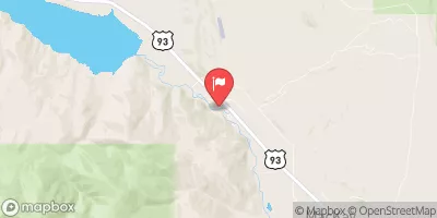
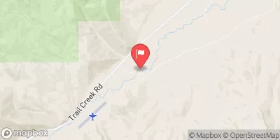
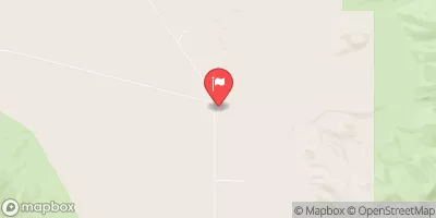
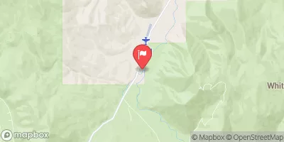

 Mahogany Creek
 Pahsimeroi River
 Confluence Of East And West Forks To Nf Boundary
 Headwaters To Confluence With West Fork
 Dry Creek