Summary
The ideal streamflow range for this run is between 800 and 3,000 cfs. The class rating for this segment of the river ranges from Class III to Class IV, with some Class V rapids in certain areas. The segment mileage is approximately 14 miles, and the run is known for its beautiful scenery and challenging rapids.
Some of the specific rapids and obstacles that can be found on this run include Pistol Creek Rapid, which is a Class IV rapid that features a steep drop and a tight chute. Another notable obstacle is Devil's Tooth Rapid, a Class V rapid that requires advanced skills and experience to navigate safely.
There are specific regulations that must be followed when running this segment of the river. All boaters are required to have a permit, and there are limited permits available each year. Additionally, all boaters must follow the Leave No Trace principles and properly dispose of all waste.
Overall, the Whitewater River Run Wilderness Boundary to Confluence with Middle Fork Salmon River is a challenging and rewarding river run that requires skill and experience to navigate safely. It is important to follow all regulations and take appropriate safety precautions when running this segment of the river.
°F
°F
mph
Wind
%
Humidity
15-Day Weather Outlook
River Run Details
| Last Updated | 2026-02-07 |
| River Levels | 4320 cfs (4.34 ft) |
| Percent of Normal | 110% |
| Status | |
| Class Level | iii-iv |
| Elevation | ft |
| Streamflow Discharge | cfs |
| Gauge Height | ft |
| Reporting Streamgage | USGS 13309220 |
5-Day Hourly Forecast Detail
Nearby Streamflow Levels
Area Campgrounds
| Location | Reservations | Toilets |
|---|---|---|
 Fir Creek
|
||
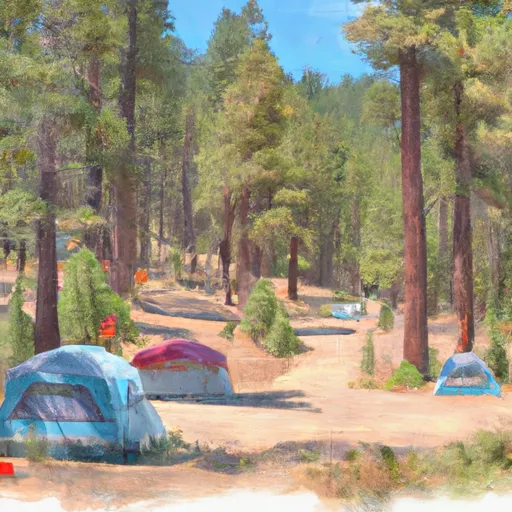 Fir Creek Campground
|
||
 Lola Creek C/G
|
||
 Lola Creek Campground
|
||
 Dagger Falls
|
||
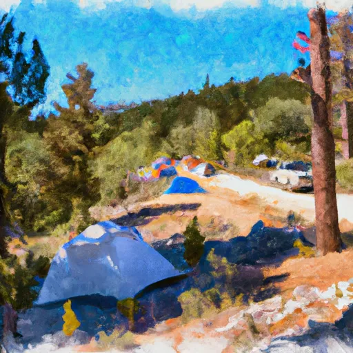 Dagger Falls Campground
|


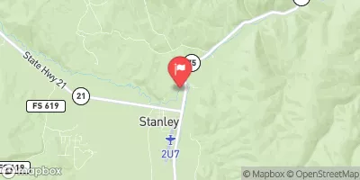
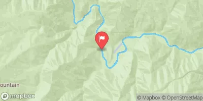
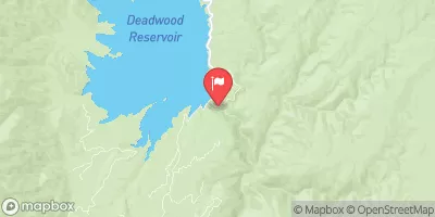
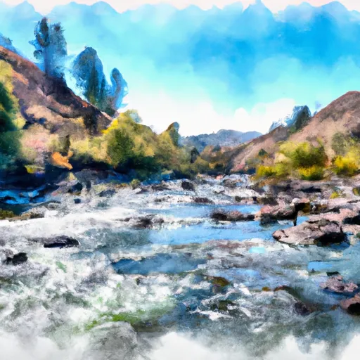 Wilderness Boundary To Confluence With Middle Fork Salmon River
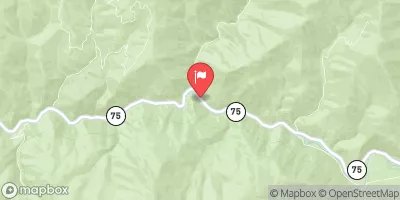
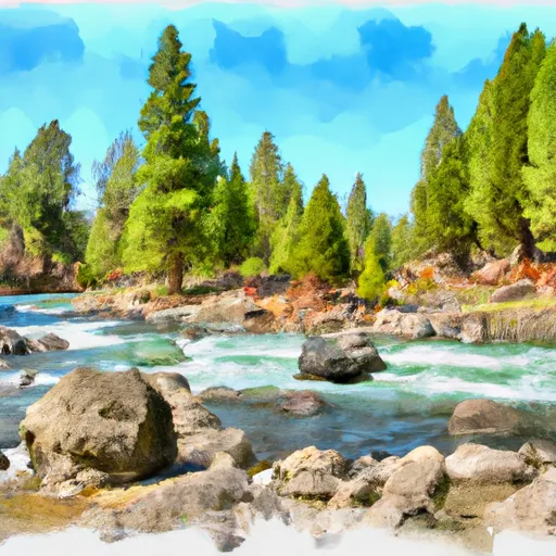 Fir Creek Campground To Boise Nf Boundary
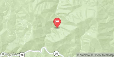
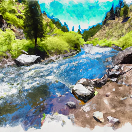 Elk Creek To Fir Creek Campground
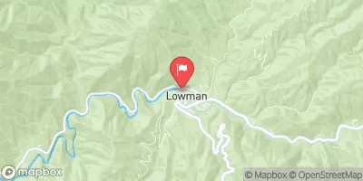
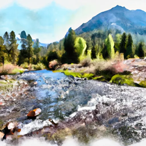 Headwaters To Wilderness Boundary
 Headwaters To 1 Mile Downstream Of Soldier Lake
 Boundary Creek to Cache Bar