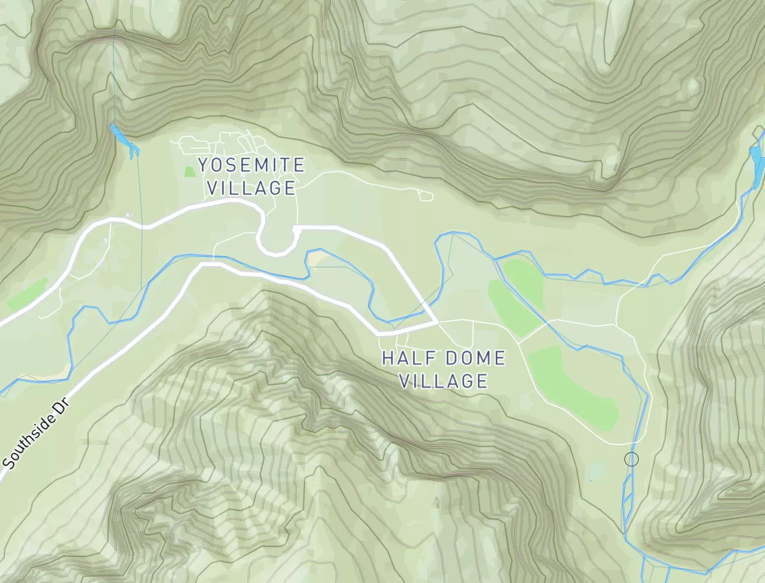
2026-05-06T15:00:00-06:00
* WHAT...Heavy snow. Additional snow accumulations between 4 and 6 inches. * WHERE...The Mountains of Summit County, the Mosquito Range, the Indian Peaks Wilderness, and the Southern Front Range foothills. * WHEN...Until 3 PM MDT this afternoon. * IMPACTS...Heavy snow will accumulate on tree branches and powerlines, possibly causing them to break and lead to power outages. Travel could be very difficult. The hazardous conditions will impact the the Wednesday morning commute.
Summary
This section of the Clear Creek river run is best navigated during late spring and early summer, when water levels are around 500 to 1000 CFS. While this run is not recommended for beginners, it is a favorite among experienced rafters and kayakers looking for a thrilling adventure on the water. Be sure to bring appropriate safety gear and always scout rapids before running them.
Regional Streamflow Levels
15-Day Long Term Forecast
River Run Details
| Last Updated | 2023-06-13 |
| River Levels | 11 cfs (2.36 ft) |
| Percent of Normal | 223% |
| Optimal Range | 150-800 cfs |
| Status | Too High |
| Class Level | IV+ to V |
| Elevation | 5,303 ft |
| Run Length | 3.0 Mi |
| Streamflow Discharge | 23.7 cfs |
| Gauge Height | 2.5 ft |
| Reporting Streamgage | USGS 06711500 |
5-Day Hourly Forecast Detail
Area Campgrounds
| Location | Reservations | Toilets |
|---|---|---|
 Bear Creek Lake Park
|
||
 Clear Creek RV Park
|
||
 Gennessee ropes camp spot
|
||
 Chatfield State Park
|
||
 Idylease Campground
|
||
 Standley Lake
|

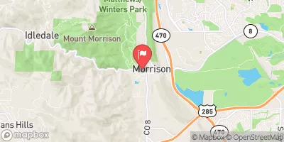
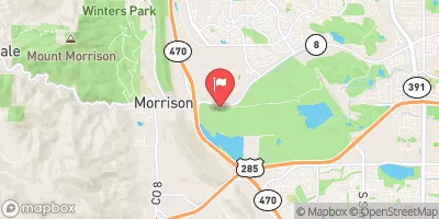
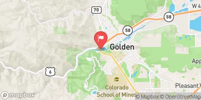
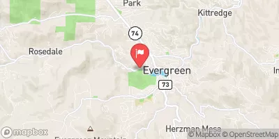


 C-470 Trail Lakewood
 Idledale to Morrison
 Tunnel 1 to Golden Whitewater Park
 Golden Whitewater Park
 Upper Clear Creek
 Foxton
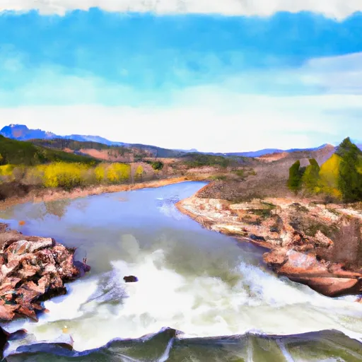 Wigman Club To Strontia Reservoir
 South Dinosaur Park
 Mount Falcon Park
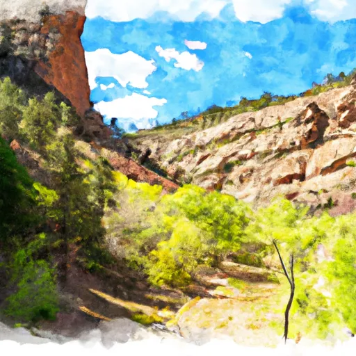 Bear Creek Canyon Park
 North Dinosaur Open Space Park
 Denver Mountain - Stain Gulch Park
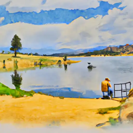 Harriman Lake
 Hine Lake
 Cottonwood Park Lake (Kipling & Jewell)
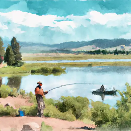 Blue Heron Lake
 Smith Reservoir (Lakewood)
 Continue with Snoflo Premium