Summary
The ideal streamflow range for this run is between 1,000 and 3,000 cubic feet per second (cfs). The river is rated as Class II-III, making it suitable for intermediate to advanced paddlers. The segment mileage for this run is approximately 8 miles.
The river contains several rapids and obstacles, including the Kitchen Sink, a Class III rapid that requires precise maneuvering, and the Ledge Drop, which is a steep drop with a large hydraulic feature at the bottom. Paddlers should also be aware of the fish weir and diversion dam located on the river.
There are specific regulations in place for this area. Paddlers are required to obtain a Montana fishing license if they plan to fish along the river. Additionally, camping is only permitted in designated areas, and all trash must be properly disposed of to protect the ecosystem.
°F
°F
mph
Wind
%
Humidity
15-Day Weather Outlook
River Run Details
| Last Updated | 2026-02-07 |
| River Levels | 14000 cfs (10.91 ft) |
| Percent of Normal | 138% |
| Status | |
| Class Level | ii-iii |
| Elevation | ft |
| Streamflow Discharge | cfs |
| Gauge Height | ft |
| Reporting Streamgage | USGS 12388700 |
5-Day Hourly Forecast Detail
Nearby Streamflow Levels
 Clark Fork Below Missoula Mt
|
3010cfs |
 Bitterroot River Near Missoula Mt
|
1410cfs |
 Clark Fork Above Missoula Mt
|
1660cfs |
 Bitterroot River At Bell Crossing Nr Victor Mt
|
670cfs |
 St. Joe River At Red Ives Ranger Station Id
|
215cfs |
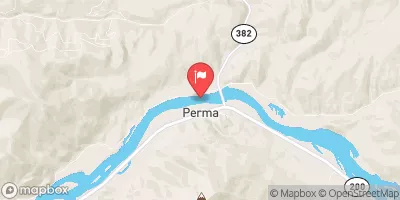 Flathead River At Perma Mt
|
13600cfs |
Area Campgrounds
| Location | Reservations | Toilets |
|---|---|---|
 Lee Creek
|
||
 Lee Creek Campground
|
||
 Forks FAS
|
||
 Clearwater Crossing Campground
|
||
 Earl Tennant
|
||
 West Fork Butte Lookout
|
River Runs
-
 Montana Creek, Sec. 18, T11N, R24W To Fish Creek, Sec. 8, T12N, R24W
-
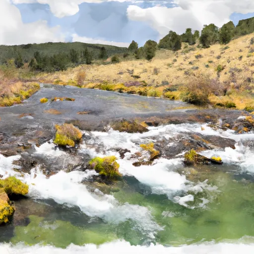 Mainstem Headwaters, Sec. 21, T11N, R25W To Montana Creek, Sec. 18, T12N, R24W
-
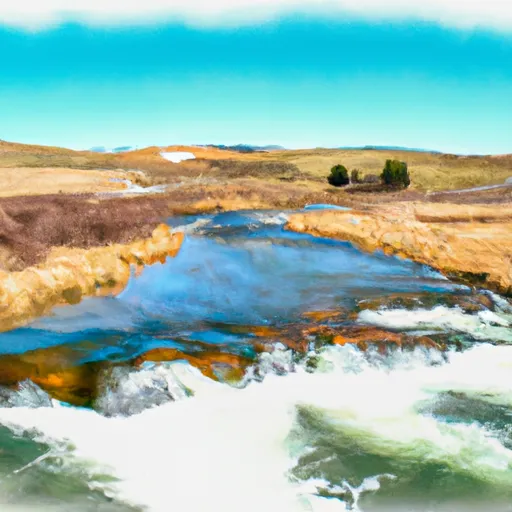 White Creek Headwaters, Sec. 33, T12N, R24W To Mainstem, Sec. 18, T12N, R24W
-
 Irish Creek Headwaters, Sec. 20, T12N, R25W To Mainstem, Sec. 22, T12N, R25W
-
 Pebble Creek Headwaters, Sec. 10, T11N, R25W To Mainstem, Sec. 28, T12N, R25W
-
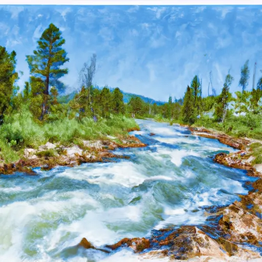 Cedar Log Creek Headwaters, Sec. 14, T12N, R26W To Mainstem, Sec. 19, T13N, R25W

