Summary
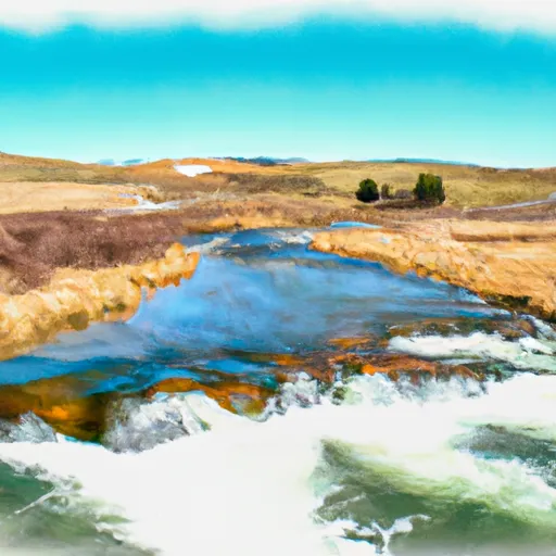
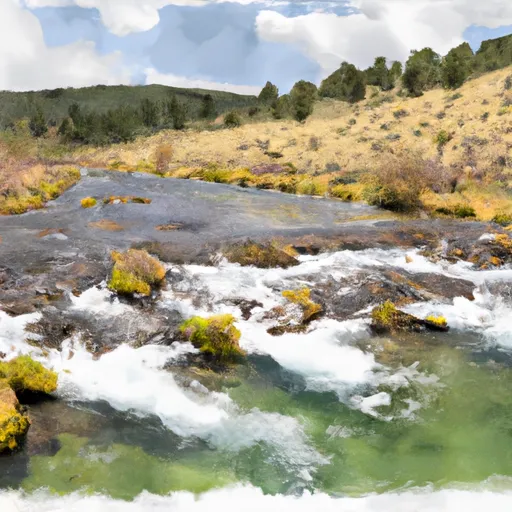
The ideal streamflow range for this run is between 500 and 1500 cfs, and it is rated as a Class III-IV run, making it suitable for intermediate to advanced paddlers.
The segment mileage of this run is approximately 7 miles and includes various rapids and obstacles, such as "Pinball," "S-Turn," and "Widowmaker." The rapids are mostly technical and require precise maneuvering, which adds to the excitement of this run.
It is important to note that the Whitewater River Run is located on private property, and permission must be obtained from the landowners before accessing the river. Additionally, there are no specific regulations to this area, but it is important to practice Leave No Trace principles while enjoying this beautiful natural resource.
°F
°F
mph
Wind
%
Humidity
15-Day Weather Outlook
River Run Details
| Last Updated | 2026-02-07 |
| River Levels | 14000 cfs (10.91 ft) |
| Percent of Normal | 138% |
| Status | |
| Class Level | iii-iv |
| Elevation | ft |
| Streamflow Discharge | cfs |
| Gauge Height | ft |
| Reporting Streamgage | USGS 12388700 |
5-Day Hourly Forecast Detail
Nearby Streamflow Levels
Area Campgrounds
| Location | Reservations | Toilets |
|---|---|---|
 Lee Creek
|
||
 Lee Creek Campground
|
||
 Forks FAS
|
||
 Clearwater Crossing Campground
|
||
 Earl Tennant
|
||
 West Fork Butte Lookout
|
River Runs
-
 White Creek Headwaters, Sec. 33, T12N, R24W To Mainstem, Sec. 18, T12N, R24W
-
 Mainstem Headwaters, Sec. 21, T11N, R25W To Montana Creek, Sec. 18, T12N, R24W
-
 Montana Creek, Sec. 18, T11N, R24W To Fish Creek, Sec. 8, T12N, R24W
-
 Irish Creek Headwaters, Sec. 20, T12N, R25W To Mainstem, Sec. 22, T12N, R25W
-
 Pebble Creek Headwaters, Sec. 10, T11N, R25W To Mainstem, Sec. 28, T12N, R25W
-
 Cedar Log Creek Headwaters, Sec. 14, T12N, R26W To Mainstem, Sec. 19, T13N, R25W


