Summary
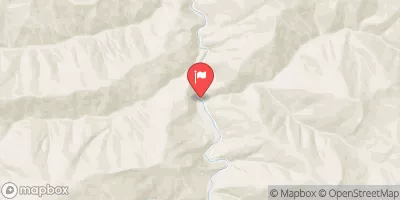
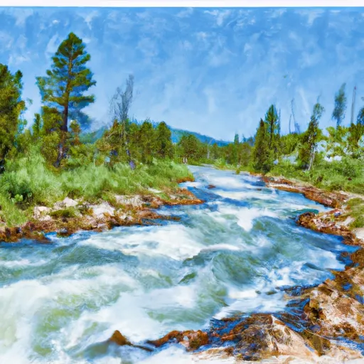
The Cedar Log Creek Headwaters to Mainstem section is approximately 14 miles long and is rated as a Class III-IV run. This section of the river features numerous rapids and obstacles, including "Sleeping Giant," "S-Turn," and "Triple Drop."
The ideal streamflow range for this section of the river is between 1,500 and 3,000 cubic feet per second (cfs). However, it is important to note that the river can be dangerous at high flows and should only be attempted by experienced paddlers.
In terms of regulations, all boaters are required to have a Montana fishing license, and it is recommended to carry a first-aid kit and personal flotation device. It is also important to be aware of private property along the river and to respect the owners' rights.
Overall, the Whitewater River Run in Montana offers a thrilling and challenging whitewater experience for experienced paddlers. It is important to check current water levels and to be aware of any potential hazards before attempting this run.
°F
°F
mph
Wind
%
Humidity
15-Day Weather Outlook
River Run Details
| Last Updated | 2026-02-07 |
| River Levels | 15300 cfs (10.34 ft) |
| Percent of Normal | 117% |
| Status | |
| Class Level | iii-iv |
| Elevation | ft |
| Streamflow Discharge | cfs |
| Gauge Height | ft |
| Reporting Streamgage | USGS 12354500 |
5-Day Hourly Forecast Detail
Nearby Streamflow Levels
 St. Joe River At Red Ives Ranger Station Id
|
215cfs |
 Clark Fork Below Missoula Mt
|
3010cfs |
 Clark Fork At St. Regis Mt
|
4530cfs |
 St. Regis River Near St. Regis
|
548cfs |
 Bitterroot River Near Missoula Mt
|
1410cfs |
 Flathead River At Perma Mt
|
13600cfs |
Area Campgrounds
| Location | Reservations | Toilets |
|---|---|---|
 Clearwater Crossing Campground
|
||
 Forks FAS
|
||
 Big Pine FAS
|
||
 Big Pine Fishing Access
|
River Runs
-
 Cedar Log Creek Headwaters, Sec. 14, T12N, R26W To Mainstem, Sec. 19, T13N, R25W
-
 Middle Fork Indian Creek Headwaters, Sec. 14, T12N, R26W To Mainstem, Sec. 25, T12N, R26W
-
 West Fork Fish Creek Headwaters, Sec. 6, T13N, R26W To Clearwater Crossing Trailhead, Sec. 6, T13N, R25W
-
 Irish Creek Headwaters, Sec. 20, T12N, R25W To Mainstem, Sec. 22, T12N, R25W
-
 Montana Creek, Sec. 18, T11N, R24W To Fish Creek, Sec. 8, T12N, R24W
-
 Mainstem Headwaters, Sec. 21, T11N, R25W To Montana Creek, Sec. 18, T12N, R24W

