Summary
The ideal streamflow range for this run is between 300-800 cfs, which provides a moderate to challenging level of difficulty. The segment mileage for this run is approximately 10 miles, with a class rating of III-IV.
Throughout the run, there are several notable rapids and obstacles, including The Notch, a narrow chute with a large rock in the middle, and The Kitchen Sink, a series of intense waves and hydraulics. It is important for paddlers to be familiar with these obstacles and have proper equipment and skills to navigate them safely.
In terms of regulations, the Whitewater River run is located within the Absaroka-Beartooth Wilderness and is subject to specific rules and restrictions. Visitors must obtain a wilderness permit and follow Leave No Trace principles, including packing out all trash and minimizing impact on the natural environment.
Overall, the Whitewater River run is a challenging and exciting adventure for experienced paddlers, but it is important to approach it with caution and respect for the wilderness environment.
°F
°F
mph
Wind
%
Humidity
15-Day Weather Outlook
River Run Details
| Last Updated | 2026-02-07 |
| River Levels | 203 cfs (1.33 ft) |
| Percent of Normal | 160% |
| Status | |
| Class Level | None |
| Elevation | ft |
| Streamflow Discharge | cfs |
| Gauge Height | ft |
| Reporting Streamgage | USGS 06204050 |
5-Day Hourly Forecast Detail
Nearby Streamflow Levels
Area Campgrounds
| Location | Reservations | Toilets |
|---|---|---|
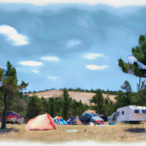 Jimmy Joe Campground
|
||
 East Rosebud Campground
|
||
 Emerald Lake Campground
|
||
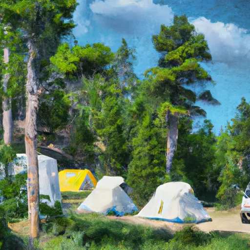 Basin Campground
|


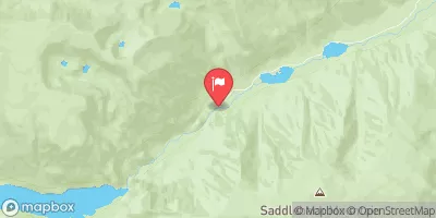
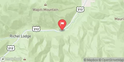
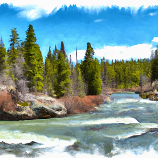 Custer Forest Boundary, Sec. 1, T7S, S16E To Absaroka-Beartooth Wilderness Boundary
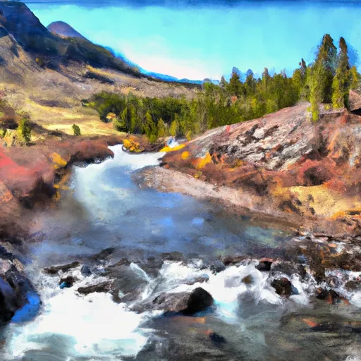 Absaroka-Beartooth Wilderness Boundary To Headwaters, Sec. 25, T8S, R17E
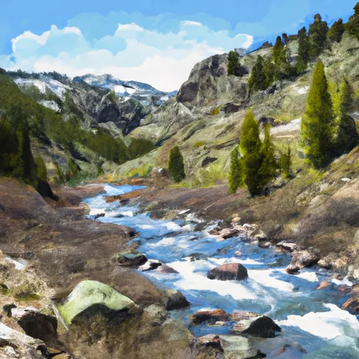 Absaroka-Beartooth Wilderness Boundary To Headwaters, Sec. 29, T7S, R15E
 Emerald Lake Fishing Access
 West Rosebud Lake Fishing Access
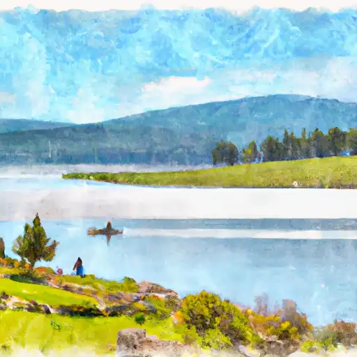 Dude Lake
 Bowback Lake
 Basin Creek Lake