Summary
The ideal streamflow range for this run is between 300-700 cubic feet per second (cfs), which typically occurs during the late spring and early summer months. The Class rating of this run ranges from Class II to III+, providing an exciting experience for intermediate to experienced paddlers.
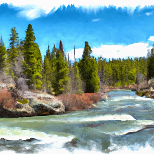
This river run covers a distance of approximately 11 miles, beginning at the Absaroka-Beartooth Wilderness Boundary and ending at the Headwaters in Sec. 29, T7S, R15E. While the entire run is scenic, it is especially beautiful in the upper section, which features steep canyon walls and narrow passages. One notable rapid on the upper section is Double Drop, which requires precise navigation.
There are specific regulations to the area, including permits for overnight use and campfires only in designated areas. Additionally, all visitors are required to follow Leave No Trace principles to protect the natural environment.
°F
°F
mph
Wind
%
Humidity
15-Day Weather Outlook
River Run Details
| Last Updated | 2026-02-07 |
| River Levels | 203 cfs (1.33 ft) |
| Percent of Normal | 160% |
| Status | |
| Class Level | ii |
| Elevation | ft |
| Streamflow Discharge | cfs |
| Gauge Height | ft |
| Reporting Streamgage | USGS 06204050 |
5-Day Hourly Forecast Detail
Nearby Streamflow Levels
Area Campgrounds
| Location | Reservations | Toilets |
|---|---|---|
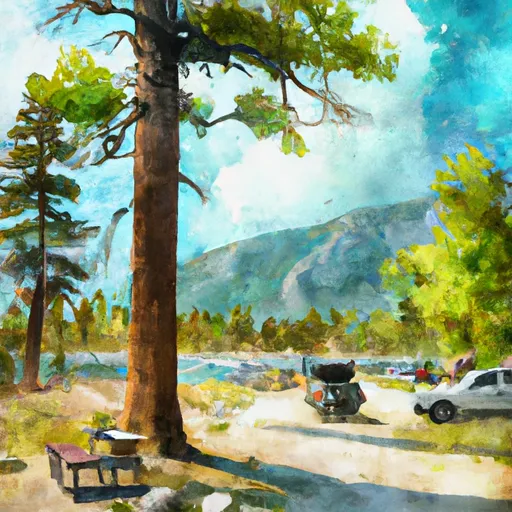 Emerald Lake Campground
|
||
 East Rosebud Campground
|
||
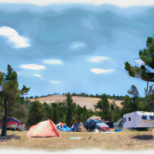 Jimmy Joe Campground
|
||
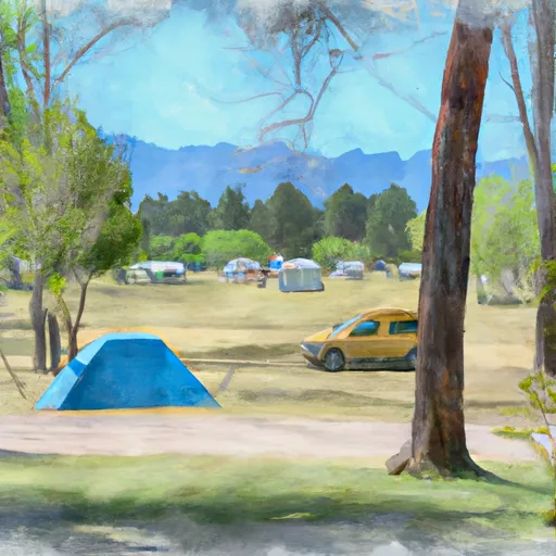 Woodbine Campground
|
||
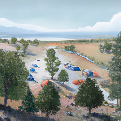 Woodbine
|


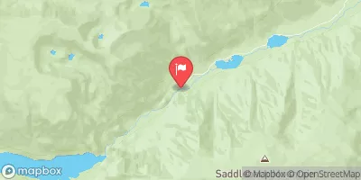
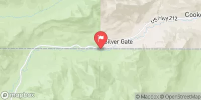
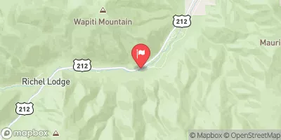
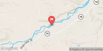
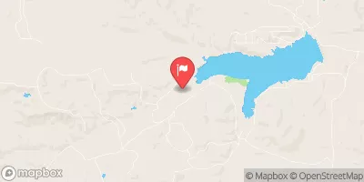
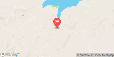
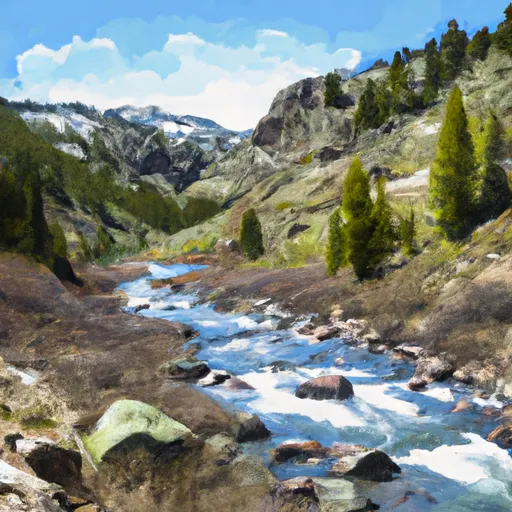 Absaroka-Beartooth Wilderness Boundary To Headwaters, Sec. 29, T7S, R15E
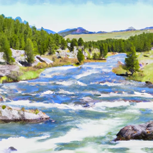 Absaroka-Beartooth Wilderness Boundary To Headwaters, Sec. 9, T9S, R14E
 Custer Forest Boundary, Sec. 1, T7S, S16E To Absaroka-Beartooth Wilderness Boundary
 Arch Lake
 Emerald Lake Fishing Access
 Chrome Lake
 Courthouse Lake
 East Rosebud Creek