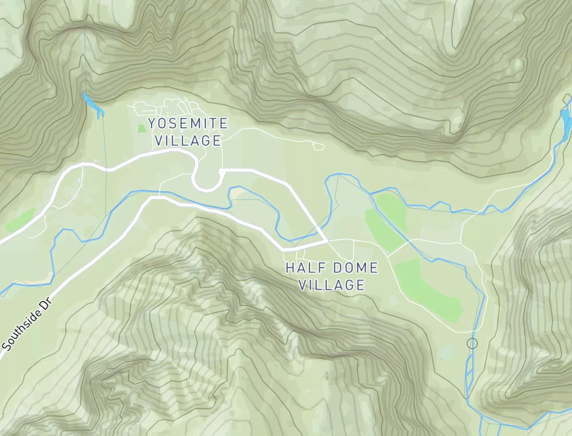
Summary
It is a Class I-II section with occasional Class III rapids. The best time to float is in late spring or early summer when the CFS is around 1,500-2,500. There are a few obstacles such as log jams and shallow sections, but they are easily navigable. The river run is suitable for beginner to intermediate paddlers and offers stunning views of the surrounding wilderness. Overall, it is a great choice for a relaxing day on the water.
Regional Streamflow Levels
15-Day Long Term Forecast
River Run Details
| Last Updated | 2023-06-13 |
| River Levels | 1290 cfs (6.15 ft) |
| Percent of Normal | 47% |
| Optimal Range | 1000-9000 cfs |
| Status | Runnable |
| Class Level | II+ |
| Elevation | 3,586 ft |
| Run Length | 26.0 Mi |
| Gradient | 20 FPM |
| Streamflow Discharge | 5230 cfs |
| Gauge Height | 8.6 ft |
| Reporting Streamgage | USGS 12359800 |
5-Day Hourly Forecast Detail
Area Campgrounds
| Location | Reservations | Toilets |
|---|---|---|
 Ole Creek
|
||
 Devil Creek Campground
|
||
 Devil Creek
|
||
 Zip's Place Cabin
|
||
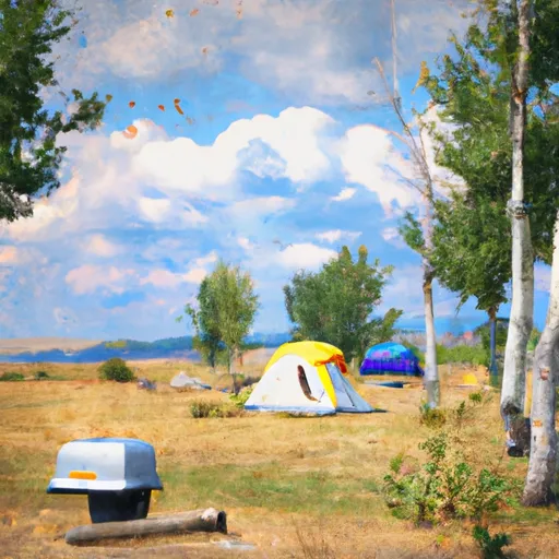 Elk Island Campground
|
||
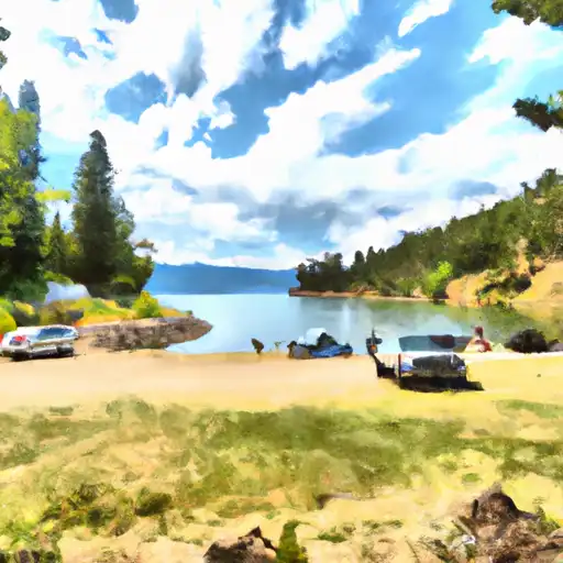 Murray Bay
|

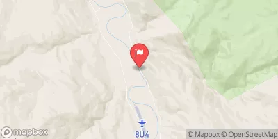
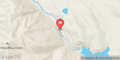
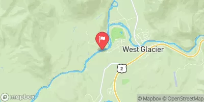
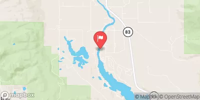

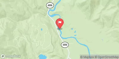

 Essex to Moccasin Creek
 Bear Creek to Essex
 Continue with Snoflo Premium