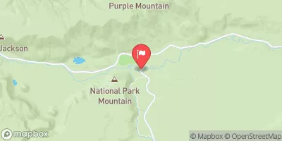
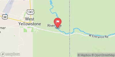
Summary
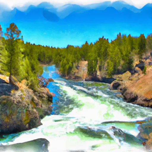
The ideal streamflow range for this river is between 1,000 and 5,000 cubic feet per second (cfs) for optimal conditions. The river is rated as a Class II-IV, with different segments varying in difficulty. The Headwaters section, in the Gallatin Range, is the most challenging section with Class IV rapids. The next segment, from Big Sky to Porcupine, is rated as a Class II-III. The final section, downstream of Osprey Falls, is a Class III.
The total mileage of the river is about 90 miles, with the Headwaters section being 14 miles long and the Big Sky to Porcupine section being 22 miles long. Specific rapids and obstacles on the river include House Rock, Mad Mile, and Kitchen Sink among others. There are specific regulations for the area, including permits required for commercial use, no camping within ¼ mile of the river, and a catch-and-release policy for all cutthroat trout.
Overall, the Whitewater River Run offers a variety of challenges for whitewater enthusiasts, with different segments of varying difficulties. It is important to check the current streamflow levels before embarking on a trip and to follow all regulations to ensure the safety of both the environment and the participants.
°F
°F
mph
Wind
%
Humidity
15-Day Weather Outlook
River Run Details
| Last Updated | 2026-02-07 |
| River Levels | 28 cfs (1.25 ft) |
| Percent of Normal | 111% |
| Status | |
| Class Level | ii-iv |
| Elevation | ft |
| Run Length | 22.0 Mi |
| Streamflow Discharge | cfs |
| Gauge Height | ft |
| Reporting Streamgage | USGS 06190540 |
5-Day Hourly Forecast Detail
Nearby Streamflow Levels
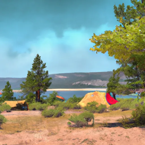
Area Campgrounds
| Location | Reservations | Toilets |
|---|---|---|
 Upper Gardner River
|
||
 1G4
1G4
|
||
 Gardner River
|
||
 1G3
1G3
|
||
 Fawn Lake
|
||
 WB6
WB6
|
River Runs
-
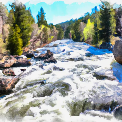 The Headwaters, In The Gallatin Range To Ends Downstream Of Osprey Falls
-
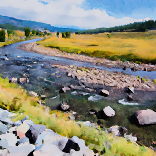 The Headwaters In The Gallatin Range To Ends Where The River Parallels A Two-Lane Highway
-
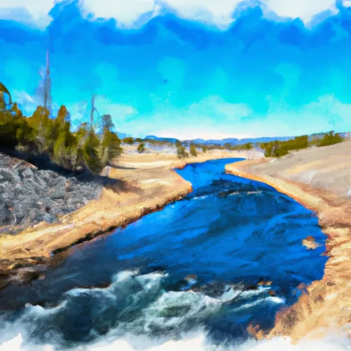 Begins Where The River Parallels A Two-Lane Highway To The Western Boundary Of Yellowstone National Park
-
 Begins Downstream Of Osprey Falls To Confluence With Yellowstone River, At The Northern Park Boundary
-
 Gardiner Town Run


