2026-01-25T05:00:00-07:00
* WHAT...Snow expected. Total snow accumulations between 2 and 5 inches except between 5 and 10 inches above 8,000 feet. * WHERE...Western Mountains, and Far Northwest Highlands. * WHEN...From 5 PM this afternoon to 5 AM MST Sunday. * IMPACTS...Travel could be very difficult. Tire traction will be reduced. Extend the distance between your vehicle and the vehicle in front of you. This includes along portions of I-40. * ADDITIONAL DETAILS...Rain is likely in many of these areas below 8,000 feet today, with a transition over to snow down to valley floors Saturday afternoon.
Summary
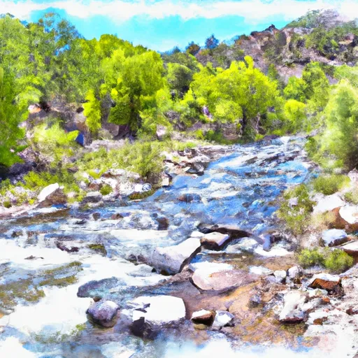
The ideal streamflow range for this segment of the river is between 200-500 cfs, which typically occurs between May and June. This section of the river is classified as Class III-IV, with some Class V rapids such as The Chute and The Narrows. The segment mileage for this run is approximately 16 miles.
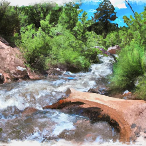
The Whitewater River run consists of various rapids and obstacles that require careful navigation. One notable rapid is The Chute, which is a Class V rapid that requires precise maneuvering around a large boulder. The Narrows is another challenging rapid that requires precise navigation through a narrow channel with large waves.
Specific regulations for the area include obtaining a permit from the Gila National Forest before accessing the river and adhering to Leave No Trace principles to minimize impact on the environment. Additionally, motorized watercraft are not allowed on this section of the river.
Overall, the Whitewater River run from Headwaters to Aldo Leopold Wilderness Boundary is a thrilling and challenging adventure for experienced rafters and kayakers. It is important to have proper equipment, skills, and knowledge of the river and its hazards before attempting this run.
River Run Details
| Last Updated | 2026-01-22 |
| River Levels | 46 cfs (1.14 ft) |
| Percent of Normal | 43% |
| Status | |
| Class Level | iii-iv |
| Elevation | ft |
| Streamflow Discharge | cfs |
| Gauge Height | ft |
| Reporting Streamgage | USGS 09430500 |
Hourly Weather Forecast
Nearby Streamflow Levels
Area Campgrounds
| Location | Reservations | Toilets |
|---|---|---|
 Wall Lake
|
||
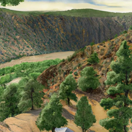 Black Canyon Upper
|
||
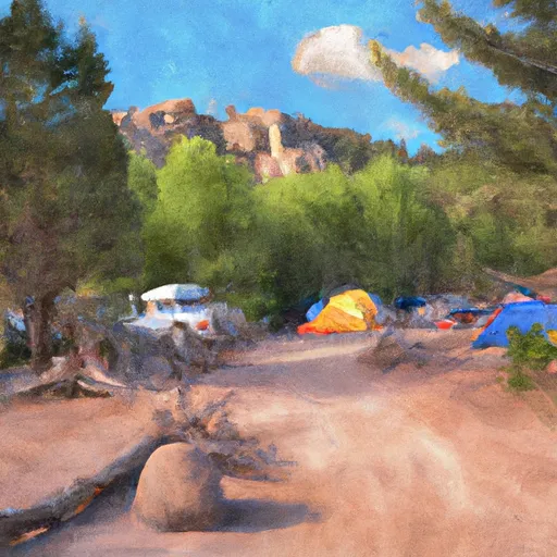 Black Canyon Campground - Upper
|
||
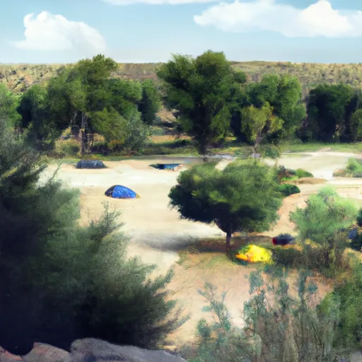 Black Canyon Campground - Lower
|
||
 Forks
Forks
|
||
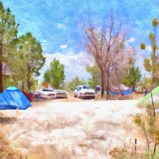 Forks Campground
|
River Runs
-
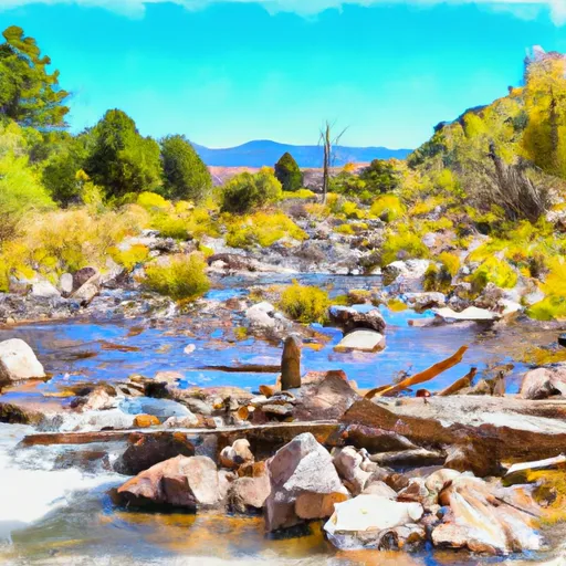 Headwaters To Aldo Leopold Wilderness Boundary
-
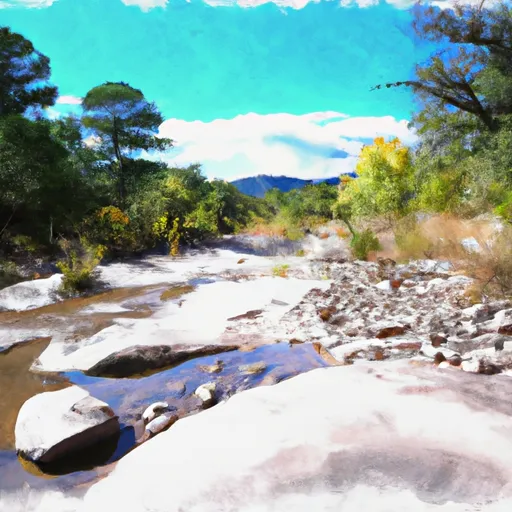 Aldo Leopold Wilderness Boundary To Gila Wilderness Boundary
-
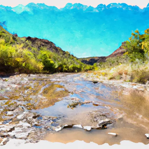 Gila Wilderness Boundary To Confluence With East Fork Gila River
-
 Headwaters To Junction Of Trails 707/68 (Sec 35, T12S, R11W)
-
 Headwaters To Confluence With Diamond Creek
-
 Gila Wilderness Boundary (Below Snow Lake) To Gila Wilderness Boundary (Sec 24, T12S, R14W)


