2026-02-12T11:00:00-07:00
* WHAT...Snow expected. Total snow accumulations of 6 to 12 inches. Locally up to 15 inches in the upper Cottonwoods and high Uintas. * WHERE...The Wasatch Mountains, and Western Uinta Mountains. * WHEN...Until 11 AM MST Thursday. * IMPACTS...Winter driving conditions are expected. * ADDITIONAL DETAILS...Periods of snowfall rates in excess of 1 inch an hour will occur between 5 PM Wednesday through 3 AM Thursday.
Summary
The ideal streamflow range for this run is between 1,000-5,000 cubic feet per second (cfs), which typically occurs in the late spring and early summer months. The run is rated as Class III-IV, with sections of challenging rapids and obstacles such as Hell's Half Mile and the Rocky Rapid.
The segment mileage of the run spans from the Eastern Boundary of National Monument to the Western Boundary of National Monument, covering a distance of approximately 14 miles. Along the way, rafters will encounter stunning views of the red-rock canyons and cliffs that make Utah's landscape so unique.
While rafting on the Whitewater River Run, there are specific regulations that must be followed. For example, all participants must wear a personal flotation device (PFD) at all times while on the water. Additionally, only commercially licensed guides are permitted to operate rafts on this section of the river. These regulations are in place to ensure the safety of all participants and protect the natural environment of the area.
Overall, the Whitewater River Run is a thrilling and challenging rafting destination that offers spectacular scenery and exciting rapids. As with any outdoor activity, it is important to prioritize safety and follow all regulations to ensure a fun and memorable experience.
°F
°F
mph
Wind
%
Humidity
15-Day Weather Outlook
River Run Details
| Last Updated | 2026-02-07 |
| River Levels | 337 cfs (7.34 ft) |
| Percent of Normal | 66% |
| Status | |
| Class Level | iii-iv |
| Elevation | ft |
| Run Length | 1.0 Mi |
| Streamflow Discharge | cfs |
| Gauge Height | ft |
| Reporting Streamgage | USGS 10164500 |
5-Day Hourly Forecast Detail
Nearby Streamflow Levels
Area Campgrounds
| Location | Reservations | Toilets |
|---|---|---|
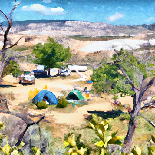 Little Mill Campground
|
||
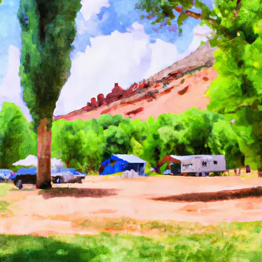 Little Mill
|
||
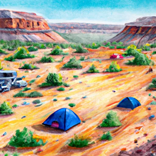 Timpooneke
|
||
 Warnick
|
||
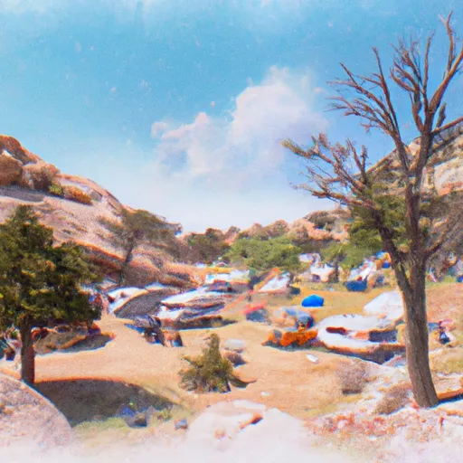 Timponeeke Campground
|
||
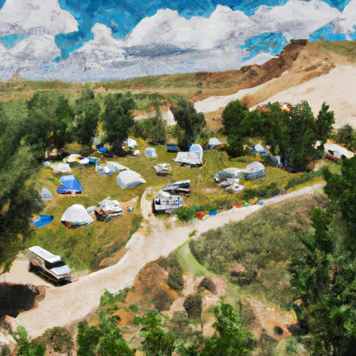 Altamont Group Campground
|
River Runs
-
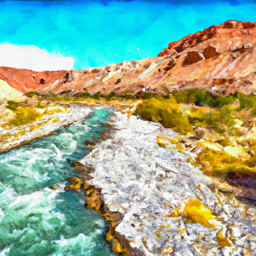 Eastern Boundary Of National Monument To Western Boundary Of National Monument
-
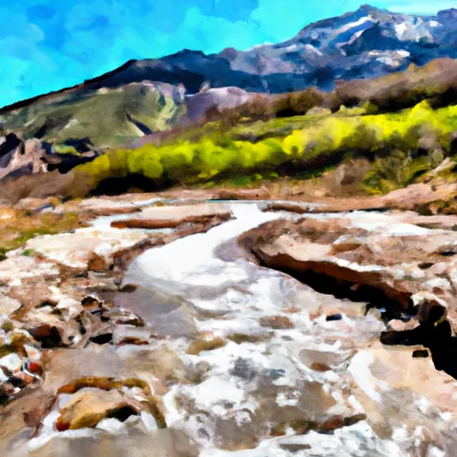 Confluence Below Timpooneke To Mt Timpanogos Wilderness Boundary
-
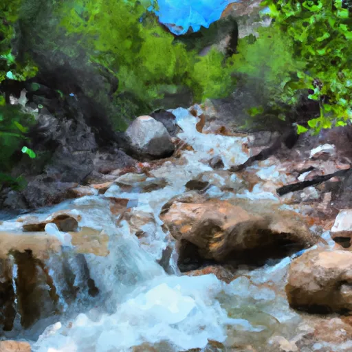 Mt Timpanogos Wilderenss Boundary To Scout Falls
-
 Tibble Res Down
-
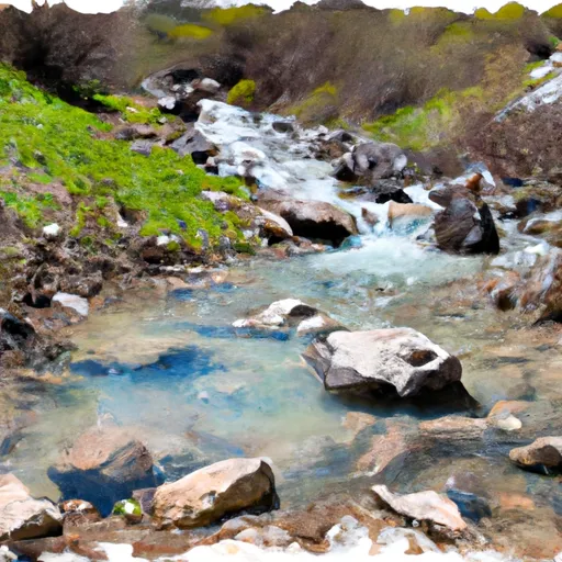 Headwater Spring In Sec 8 To Mt Timpanogos Wilderness Boundary
-
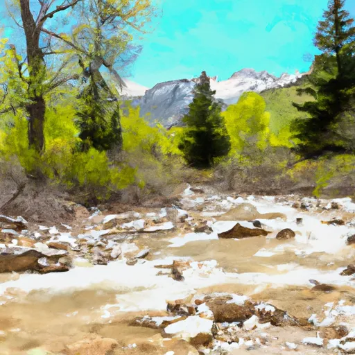 Mt Timpanogos Wilderness Boundary To Theater-In-The-Pines



 Manila Park
 Beehive and Central League Park
 Caveman Park
 Filly and Pony Park
 J. C. Ball Park
 Lake Lillian
 Lake Florence
 Lake Martha
 Lake Solitude